
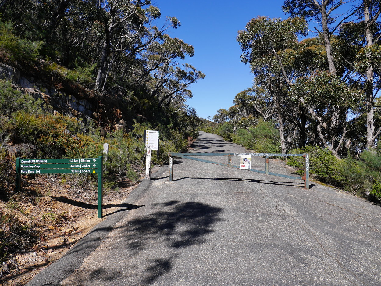
| Mt William Summit Walk |
| This is a great tourist walk. It starts from the main Mt William Car
Park and follows the made road to the summit. Stopping every now
and then allows you to take in the wonderful vistas of the mountains
that make up the Grampians National Park. It may be easy on the
feet but it's still a 220m climb up and 2.1km to the summit, so it's
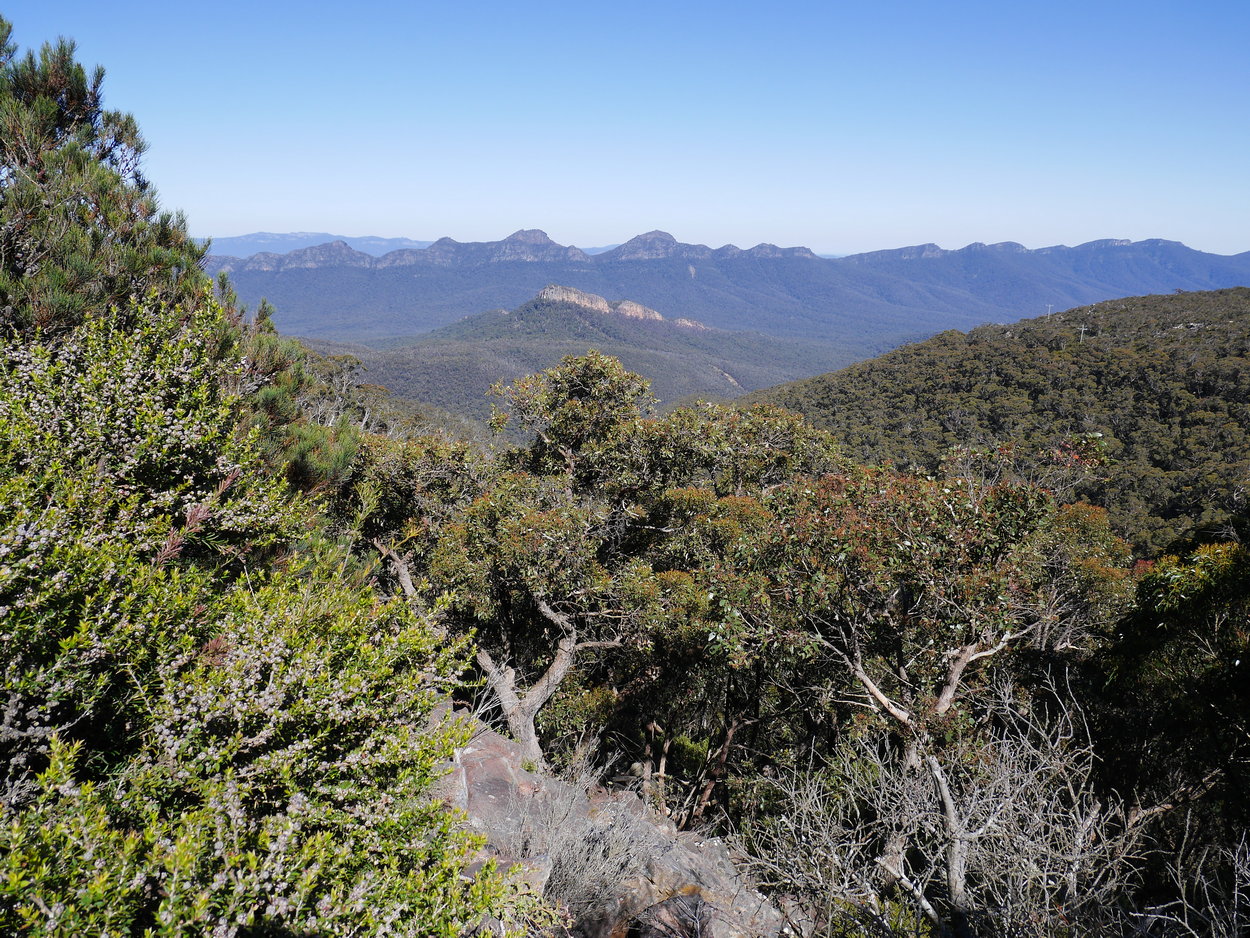
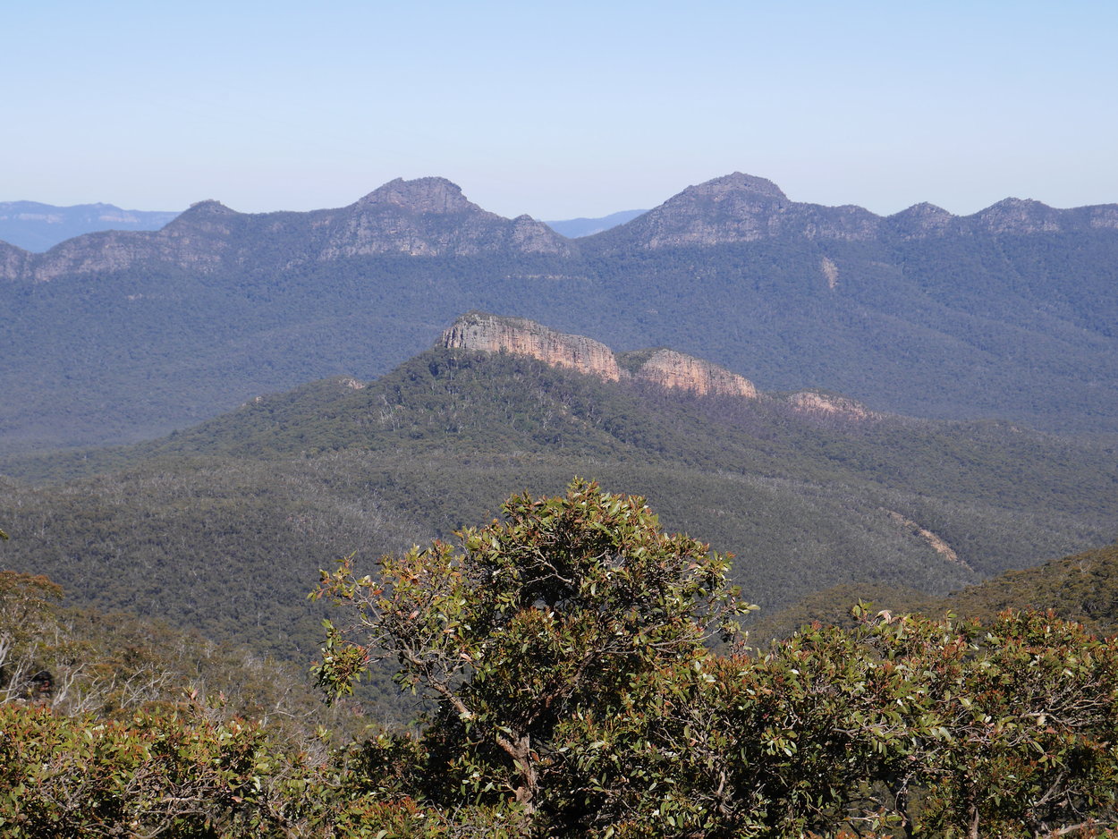
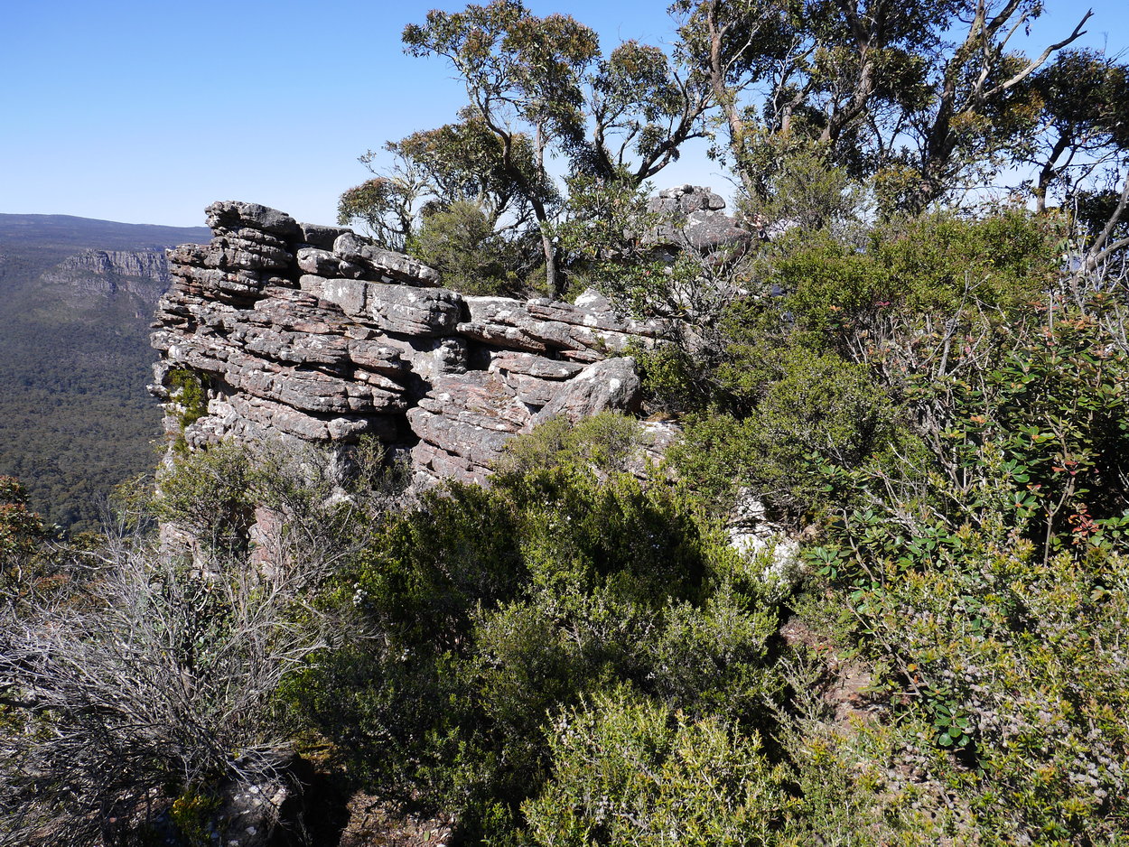
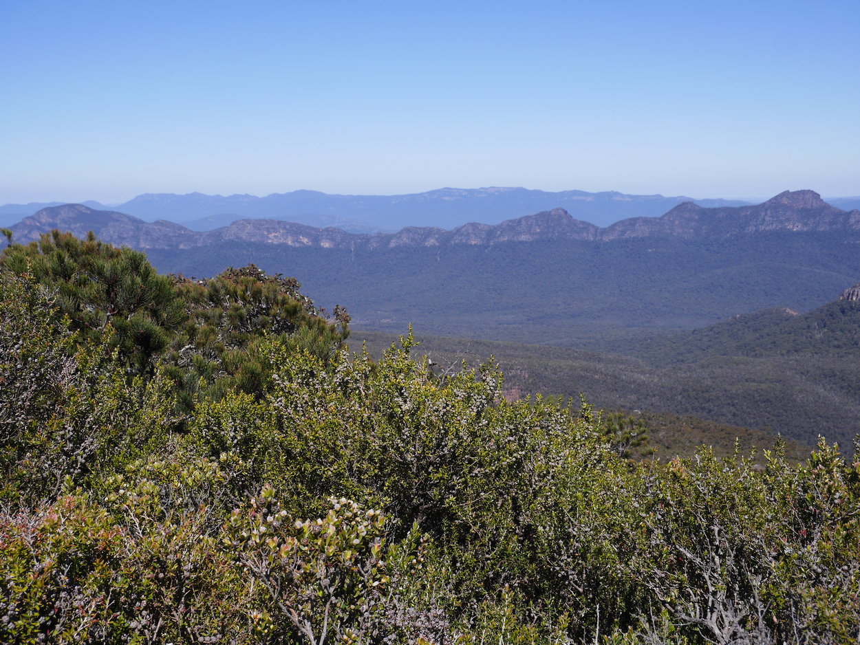
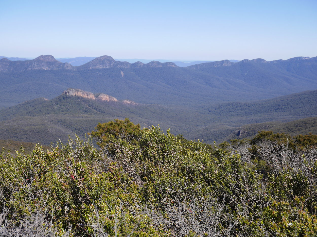
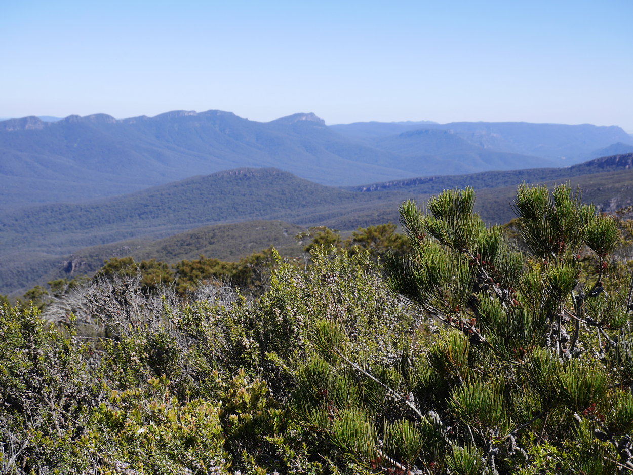
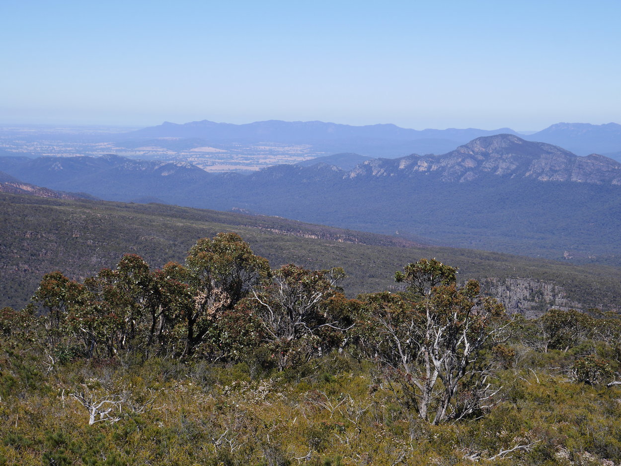
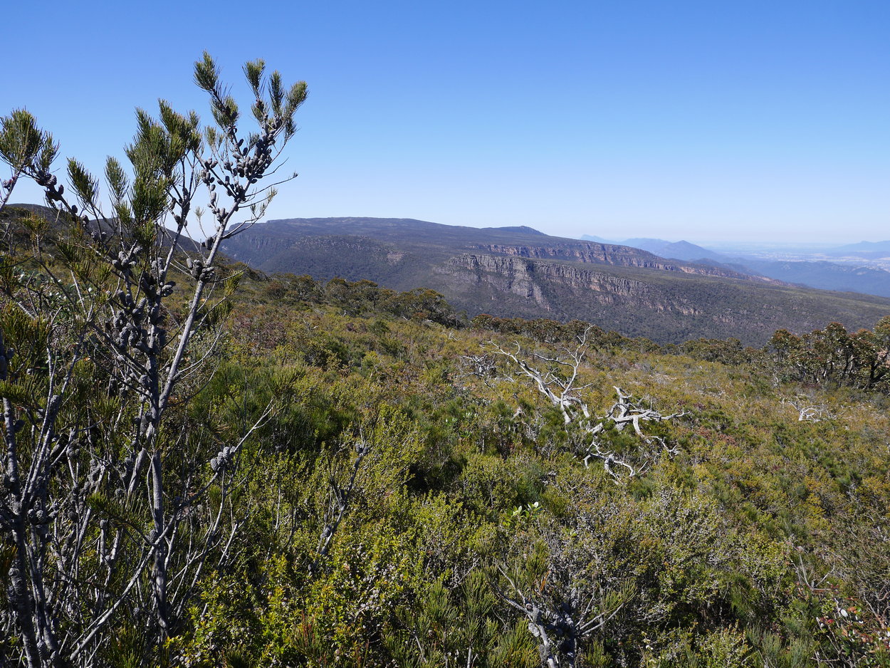
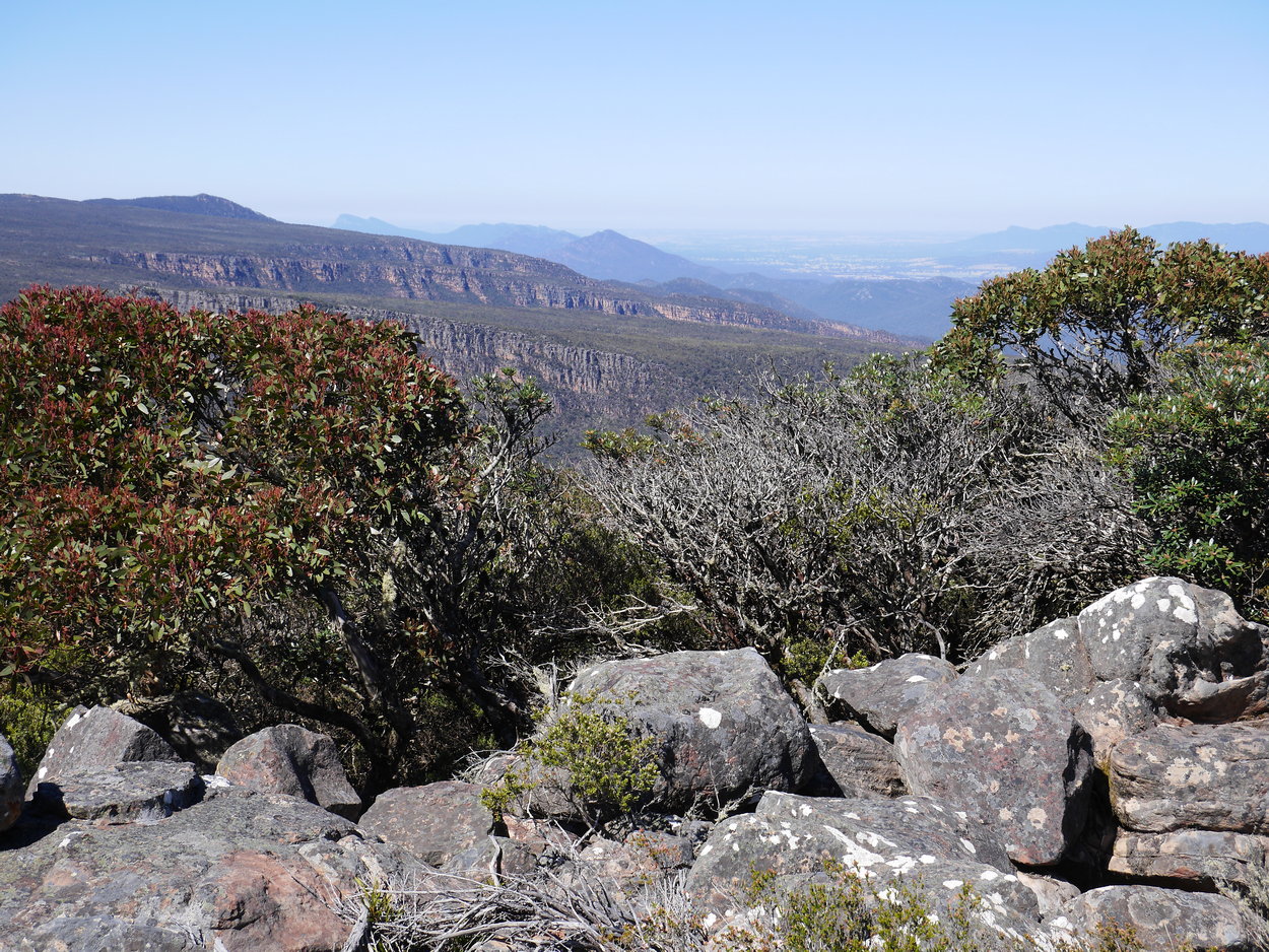
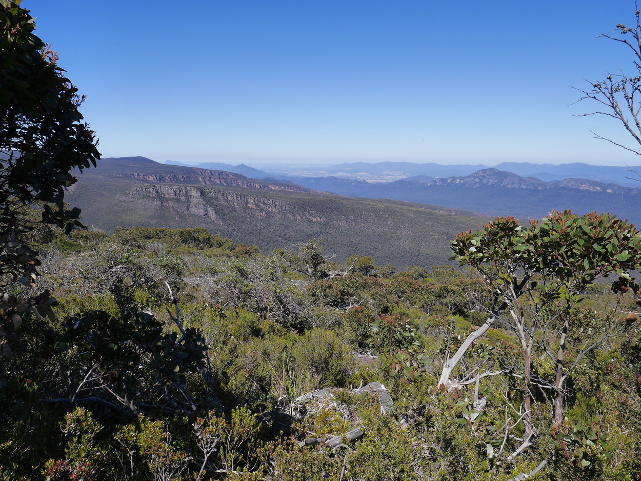
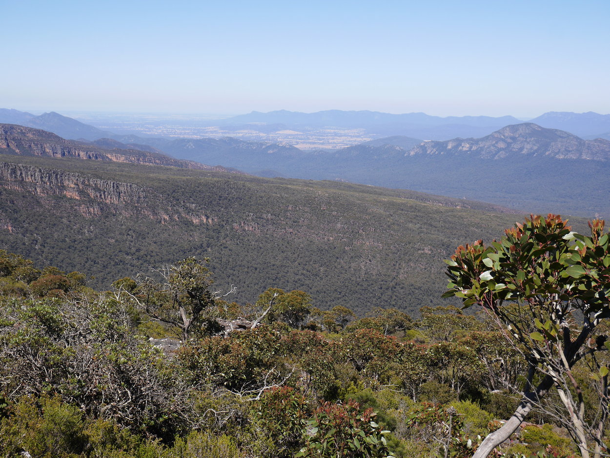
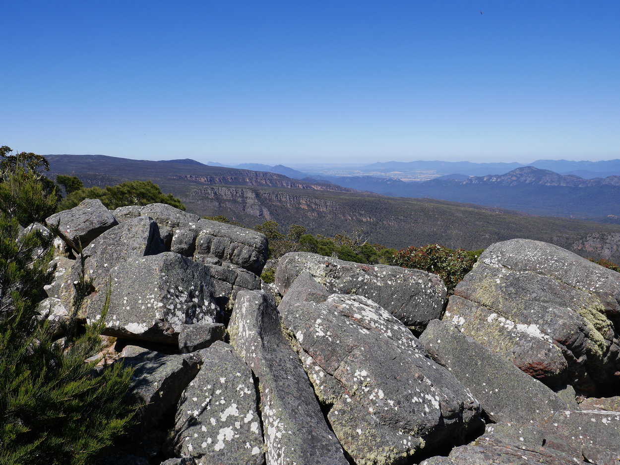
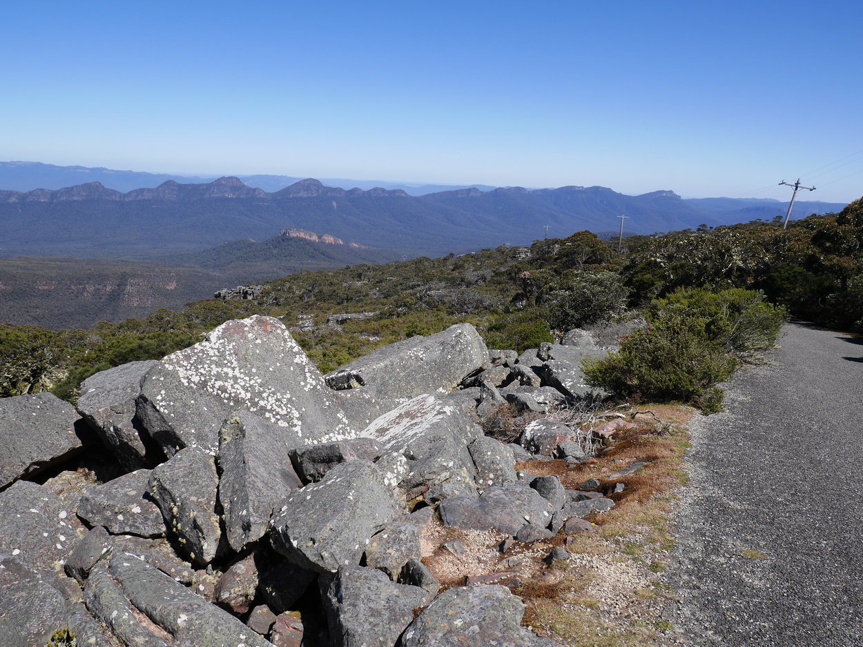
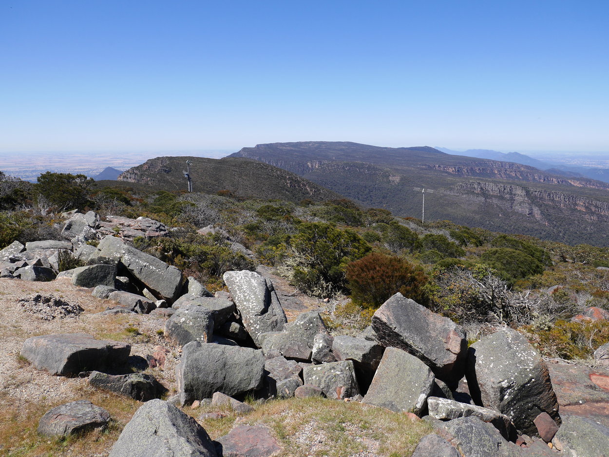
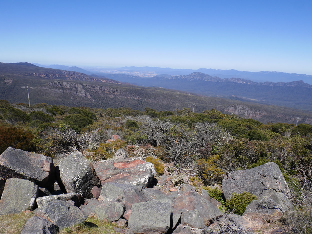
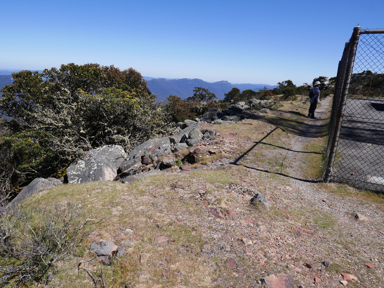
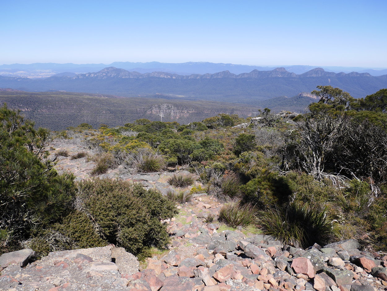
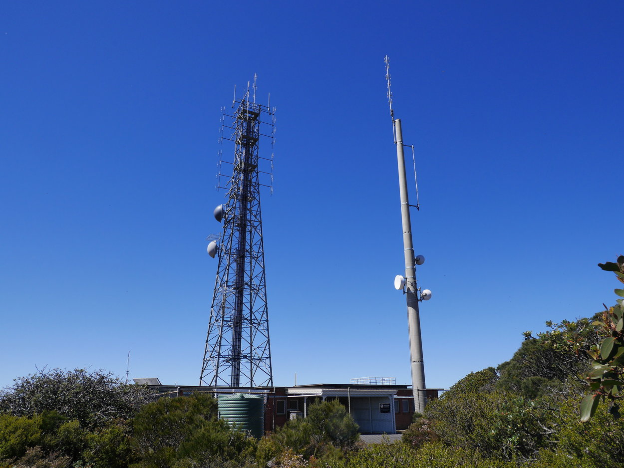
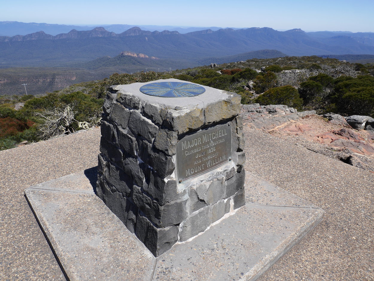
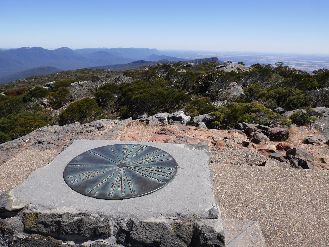
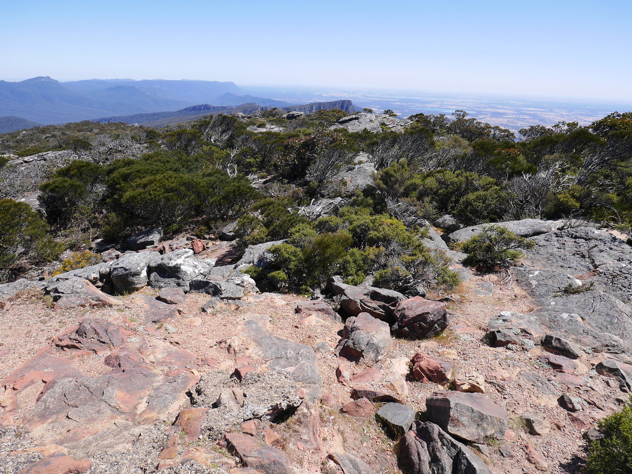
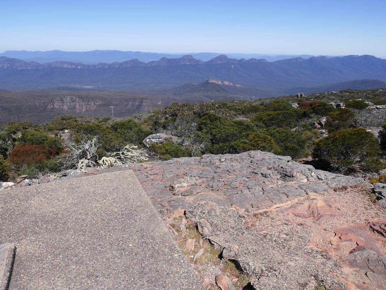
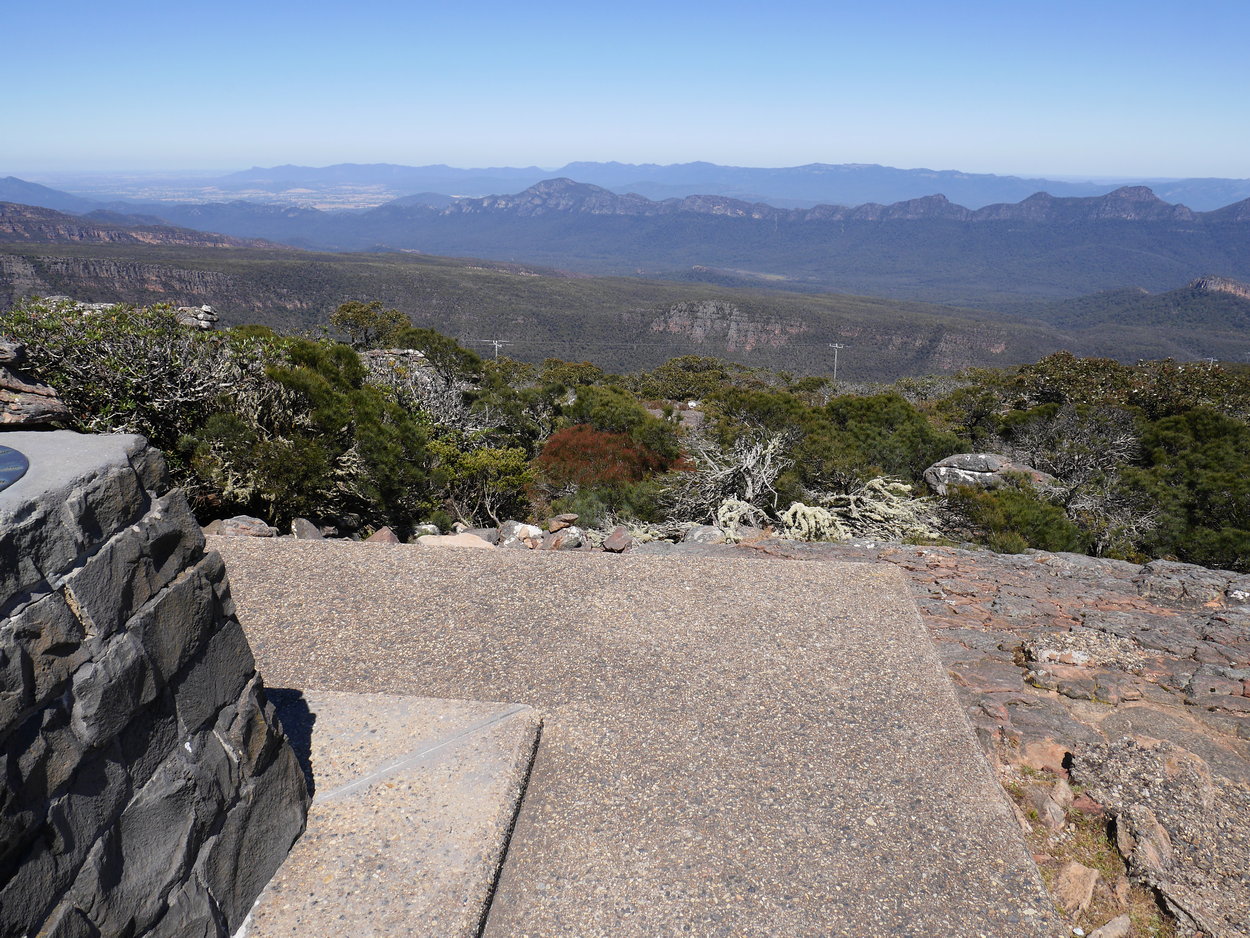
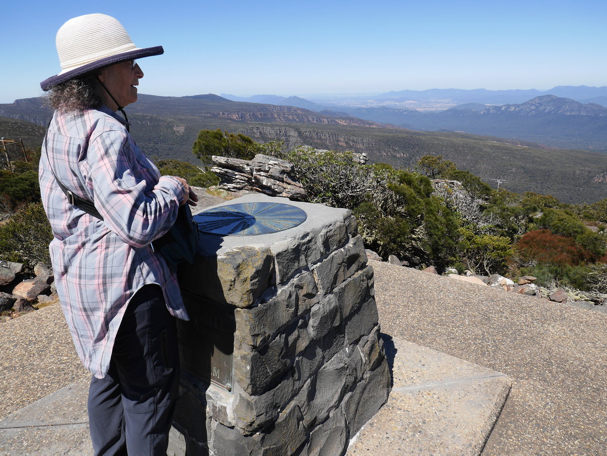
still a good workout. The cairn which marks the peak is hidden behind a rather large communications compound which you need to carefully walk around to find it. The cairn has an old Toposcope on top which indicates nearby locations, such as towns and other mountains. Views from the top on a clear day are wonderful and a joy to photograph. You retrace your steps to go back to the car park, obviously a much easier walk. |
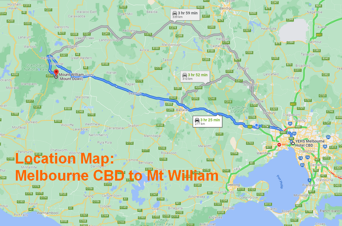
| Walk Location Map |
|
|
| Walk Map: |
|
|
 |
 |
 |
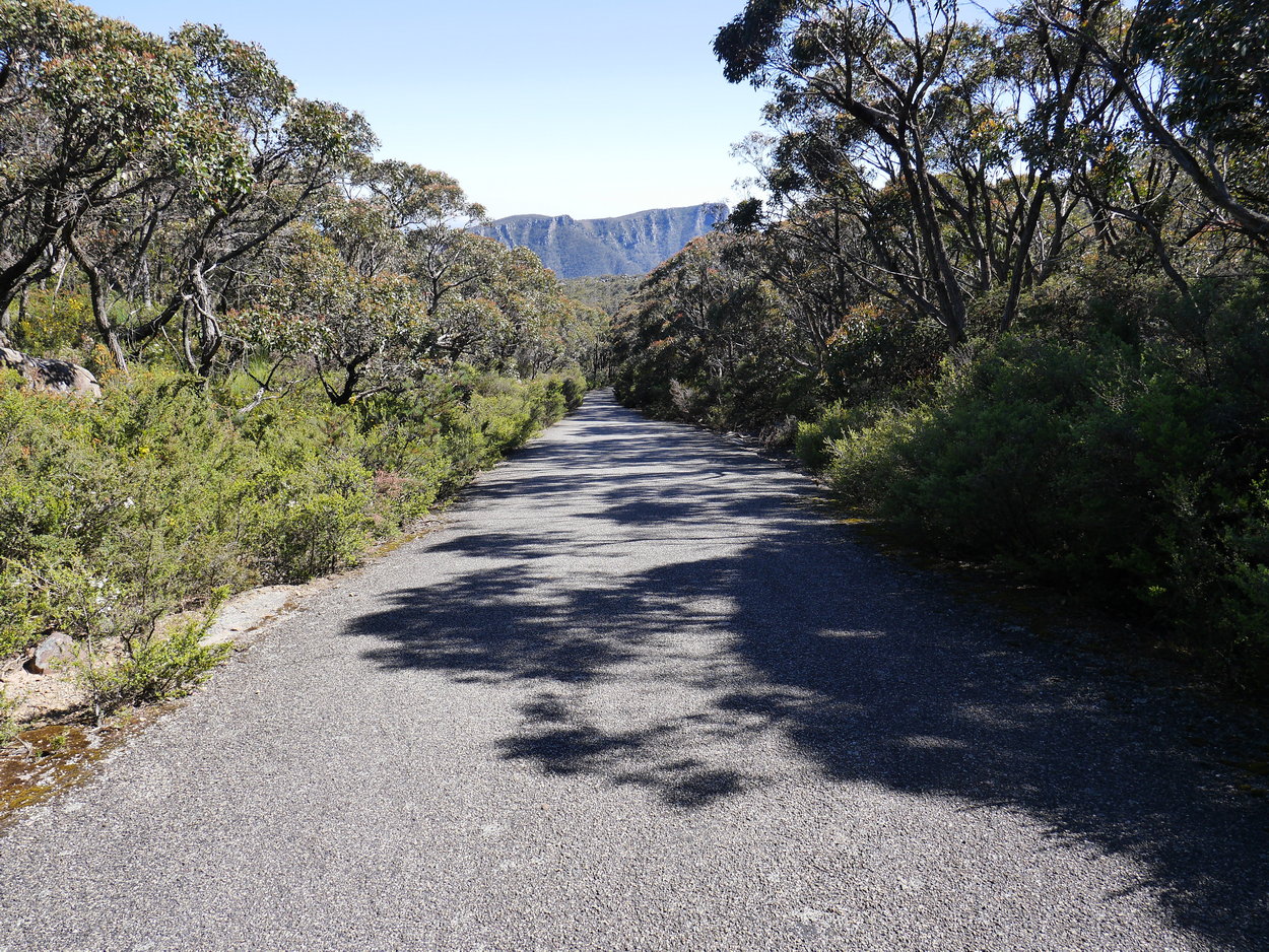
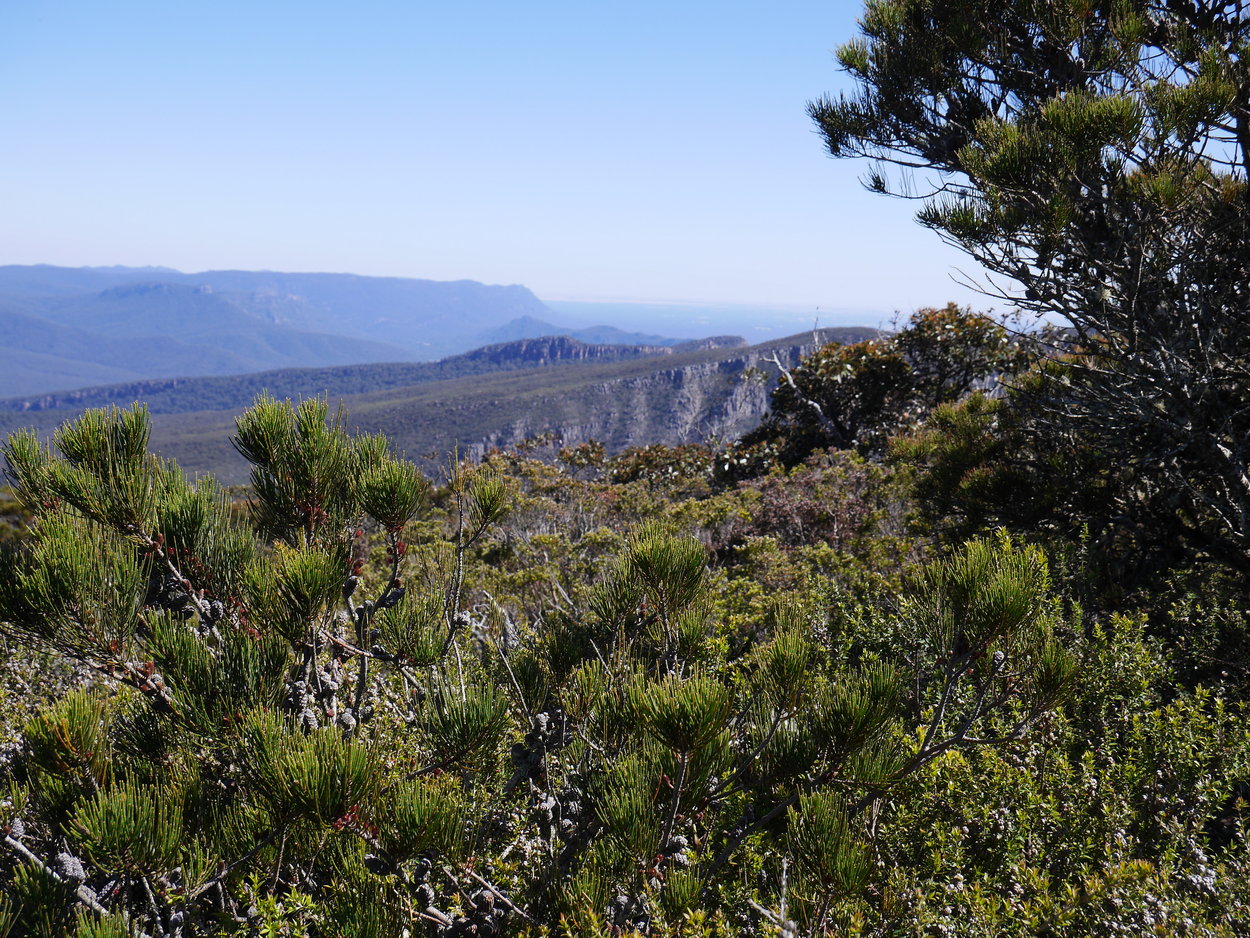
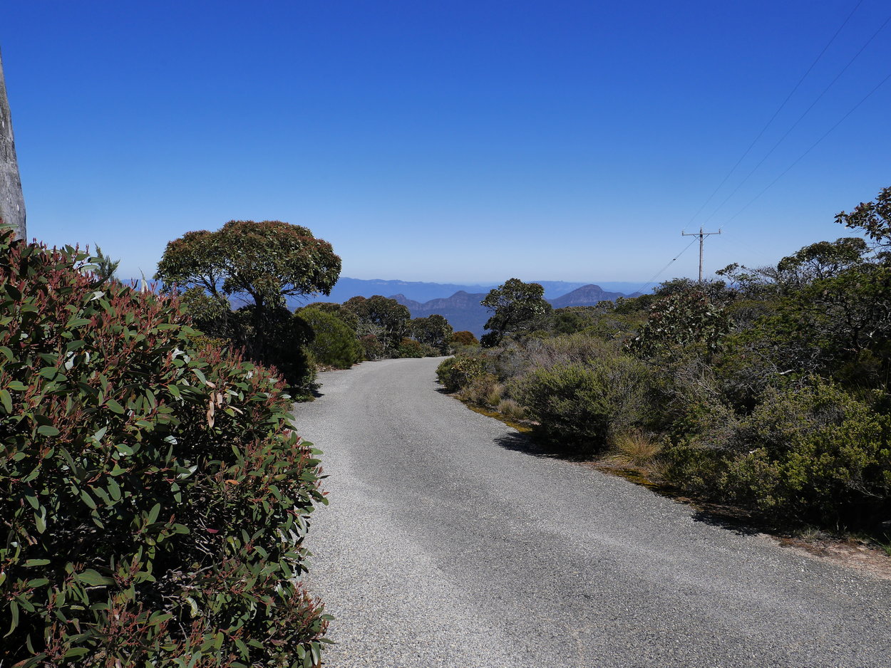
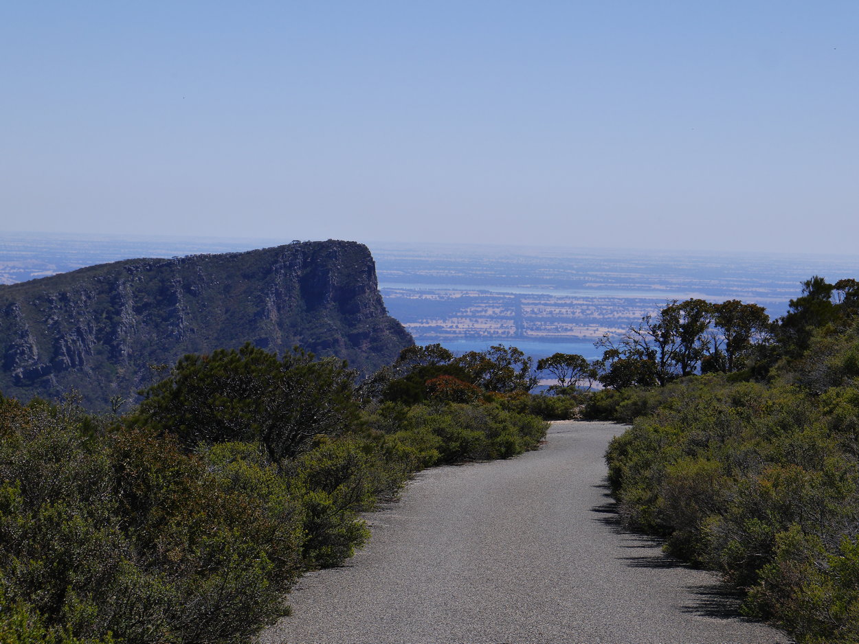
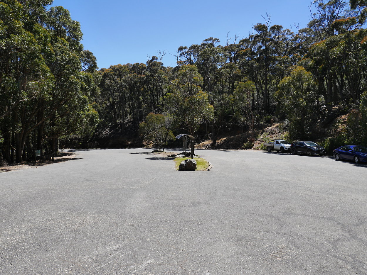
| Mt William Car Park - Start of the walk. | A short walk brings into view the wonderful panoramas | |
 |
 |
 |
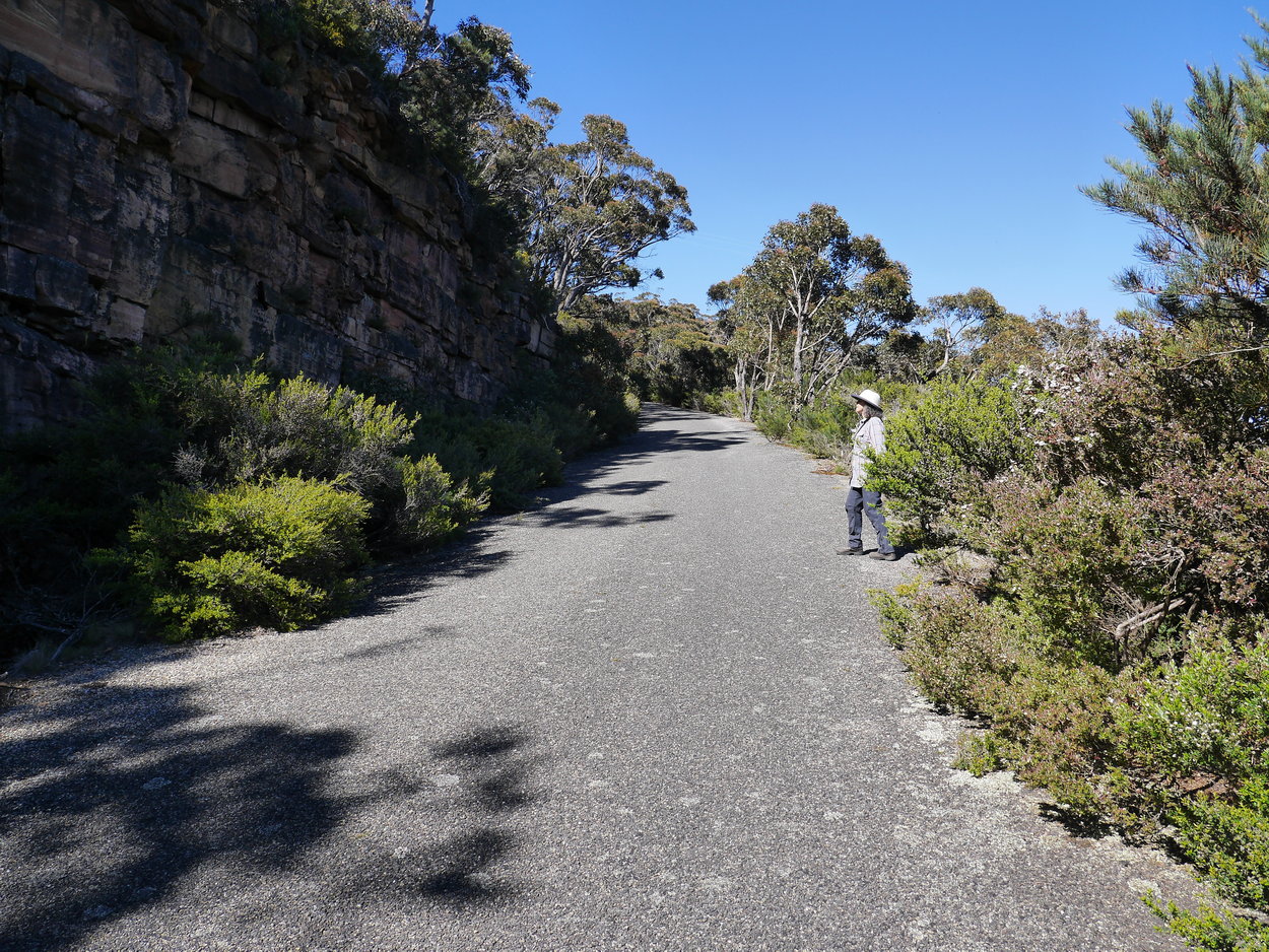
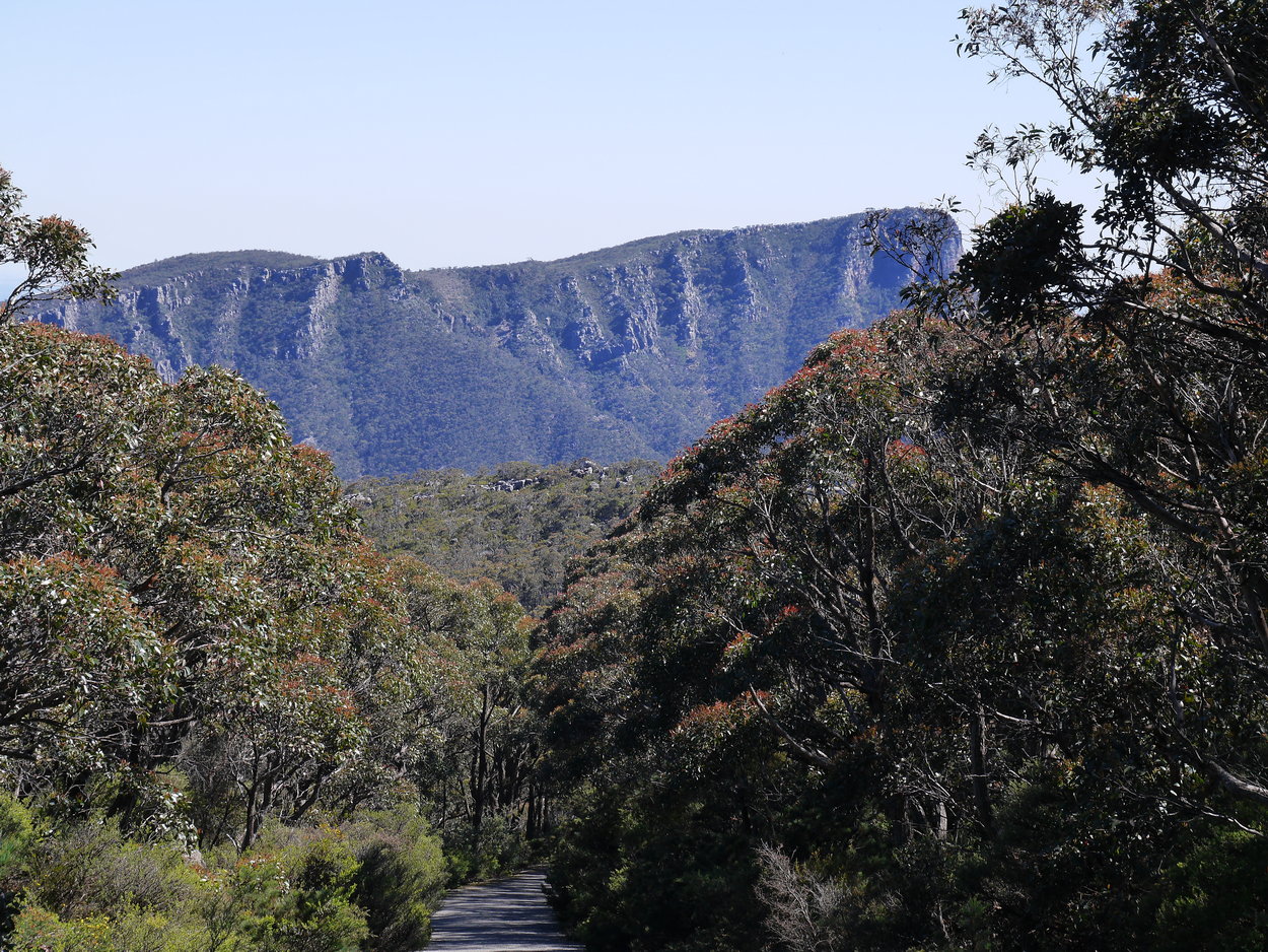
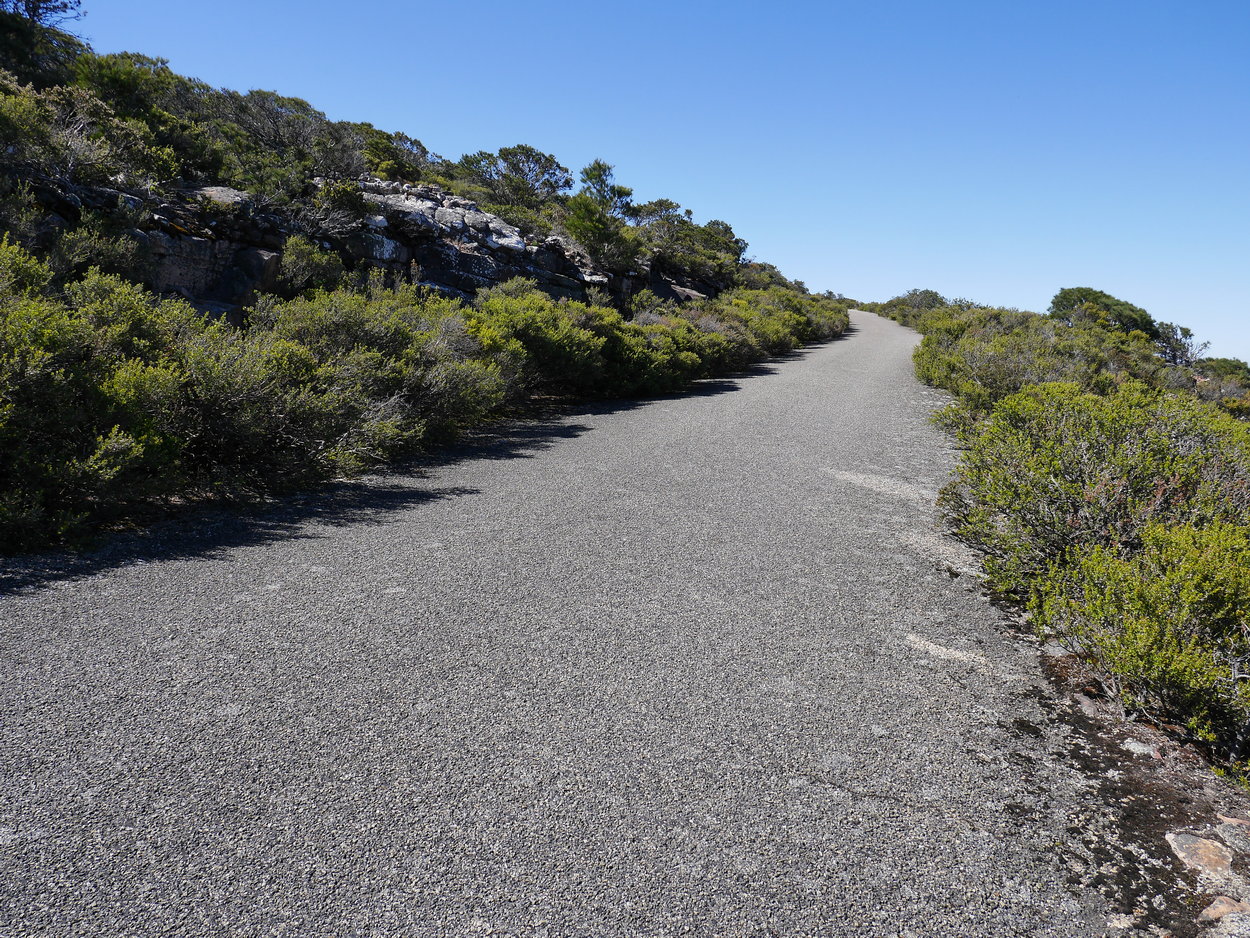
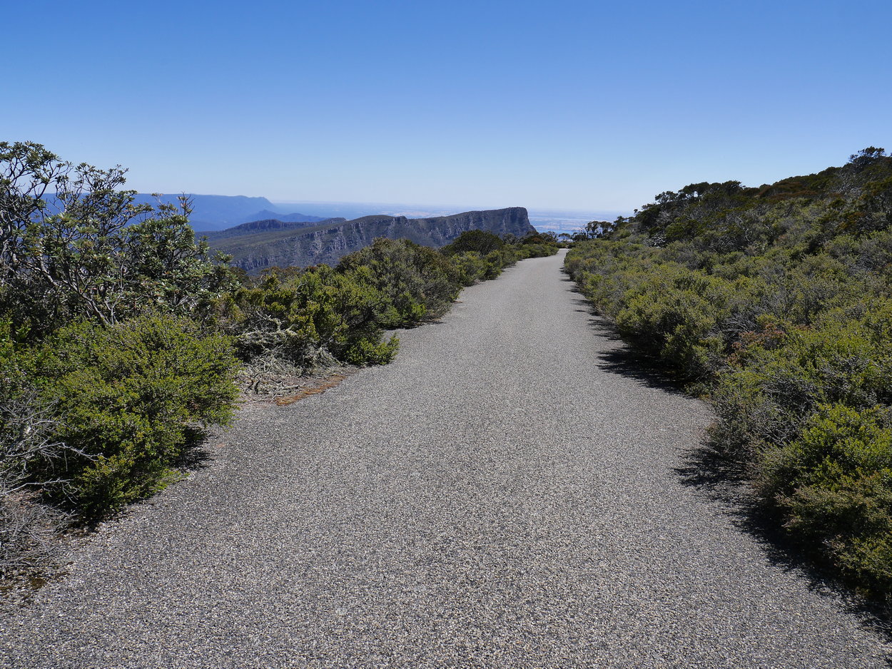
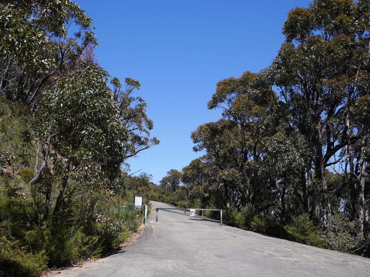
| A nice paved road to the top - still steep though. | View - looking back towards car park. | |
 |
 |
 |
 |
 |
 |
 |
 |
 |
 |
 |
 |
 |
 |
 |
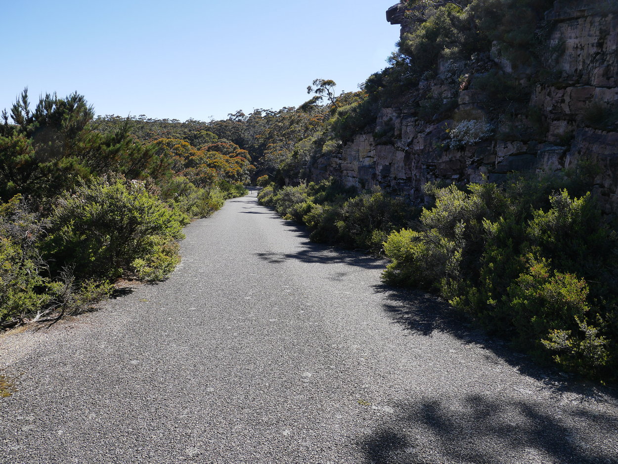
| Onward to the top - almost there. | ||
 |
 |
 |
 |
 |
 |
 |
 |
 |
 |
 |
 |
 |
 |
 |
| At the top - where is that cairn? | ||
 |
 |
 |
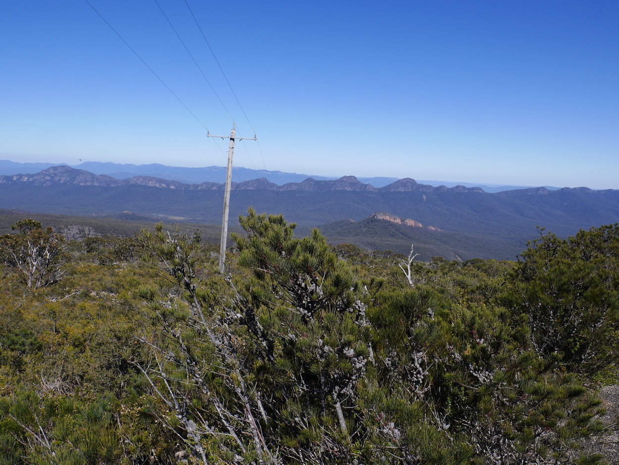
| Navigating around the Communications Compound | ||
 |
 |
 |
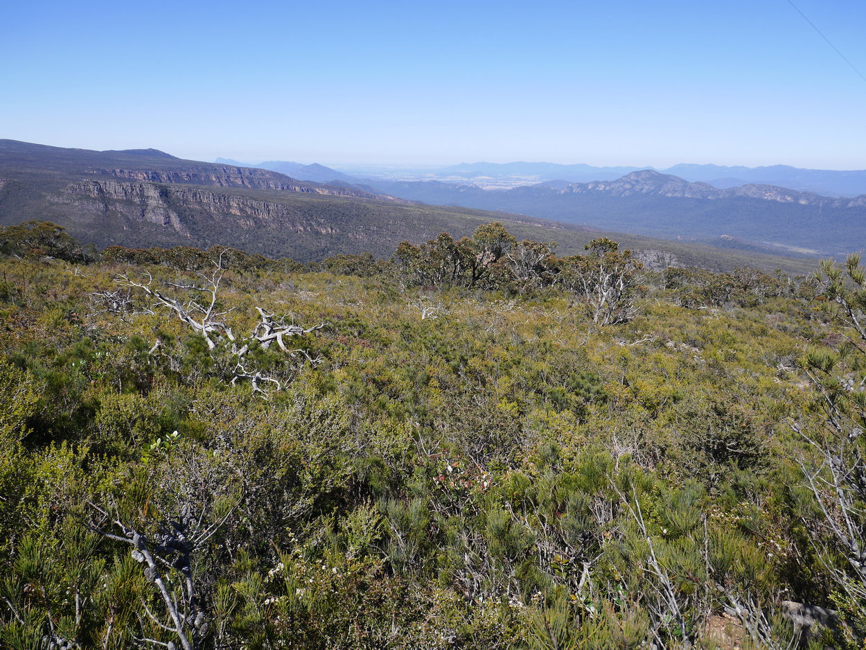
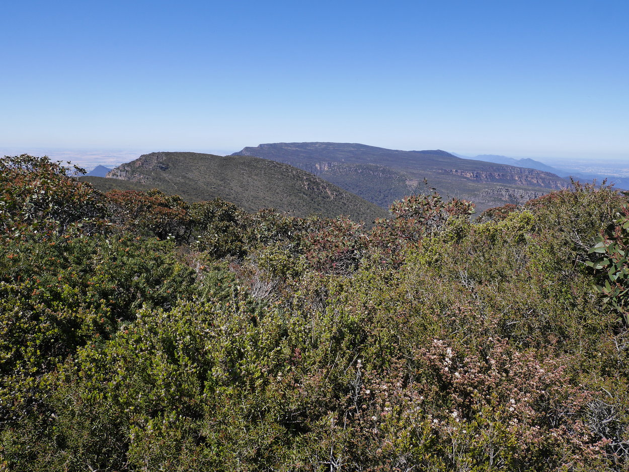
| Looking north | ||
 |
 |
 |
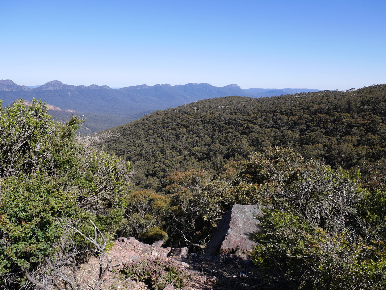
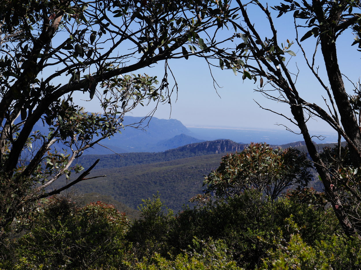
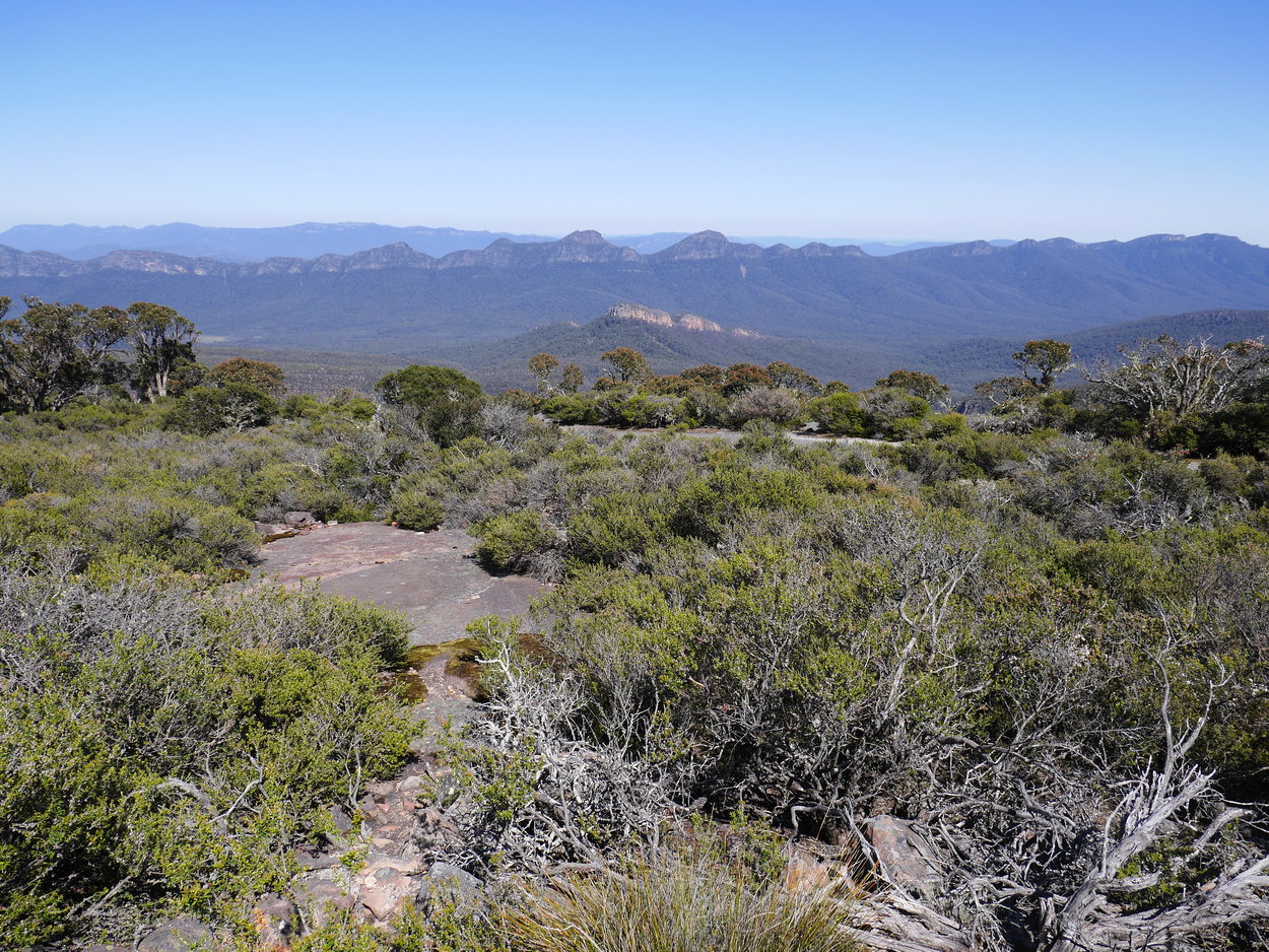
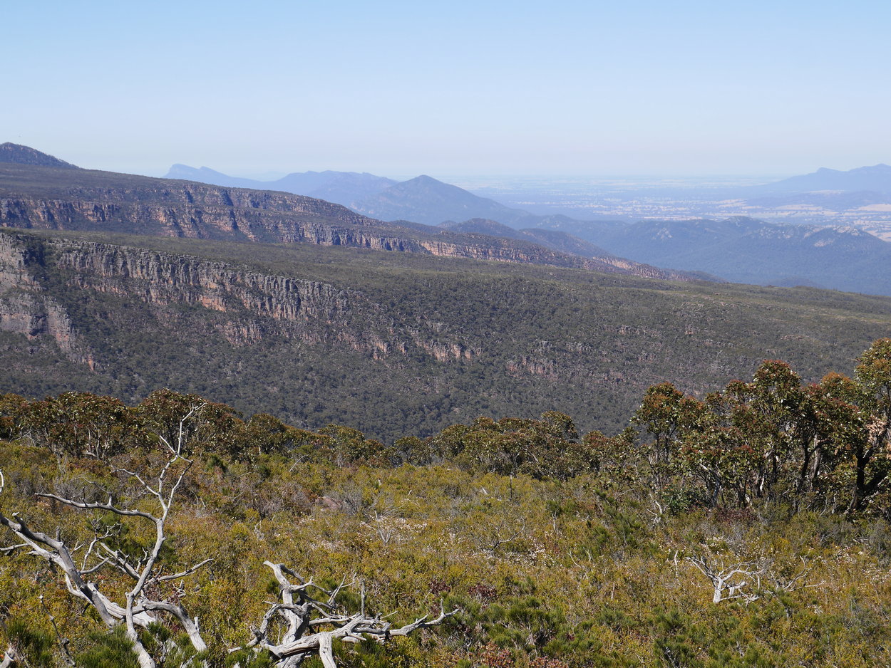
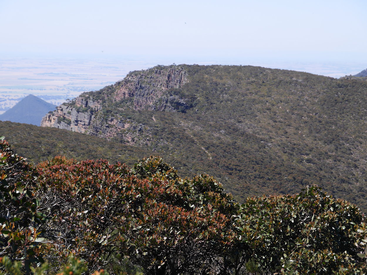
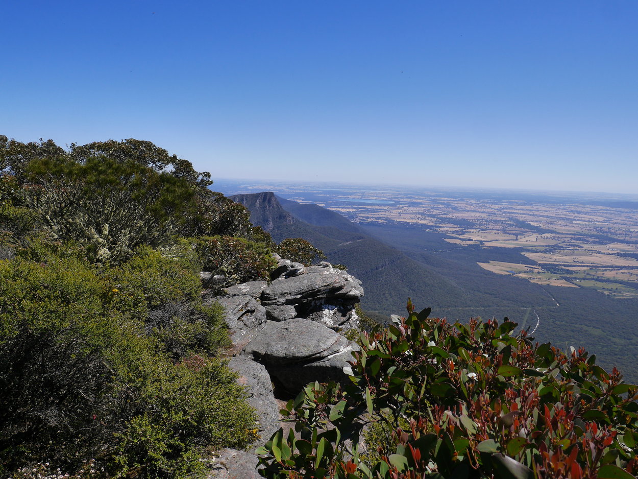
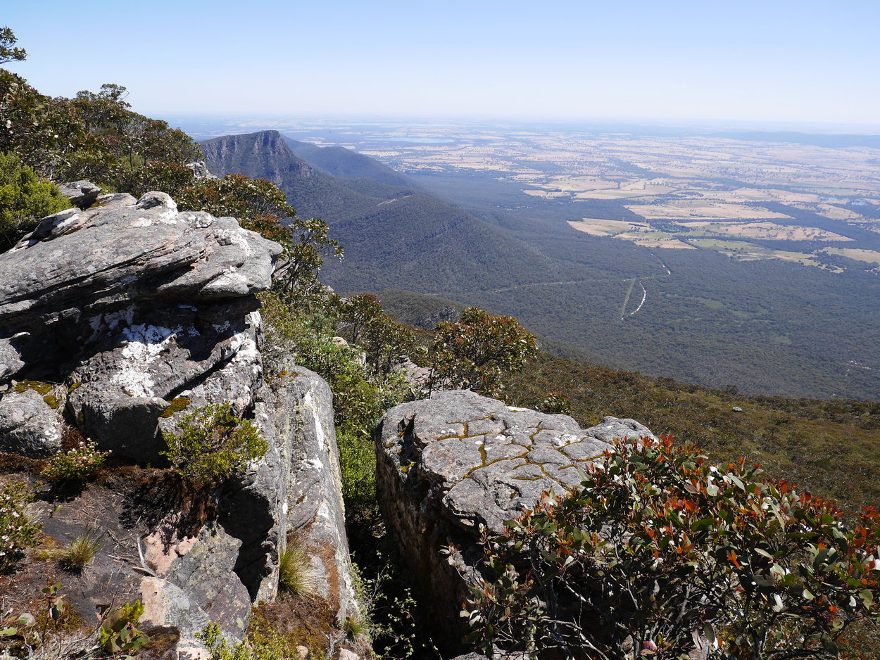
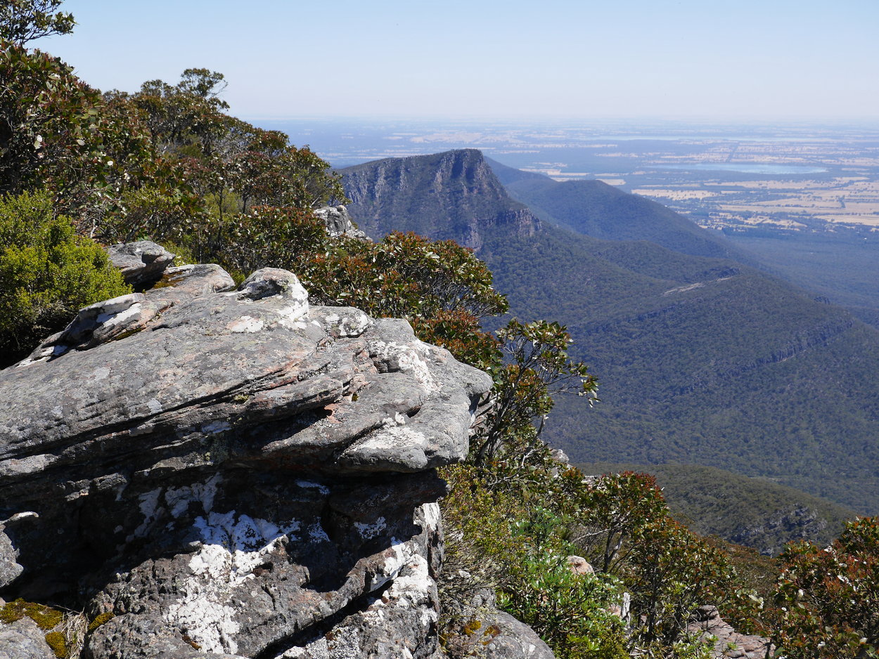
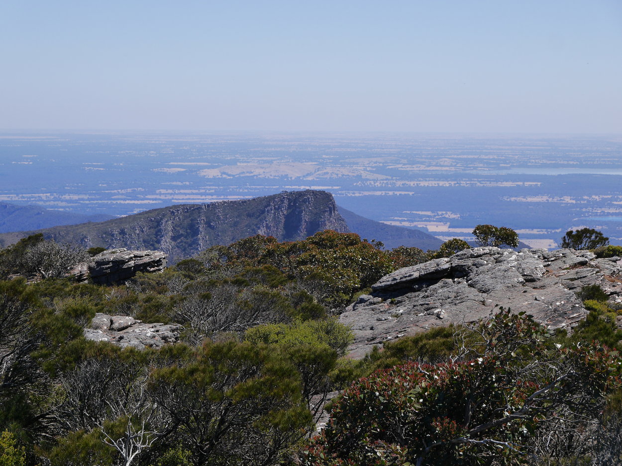
| Redmans Bluff in the distance | Communications towers | |
 |
 |
 |
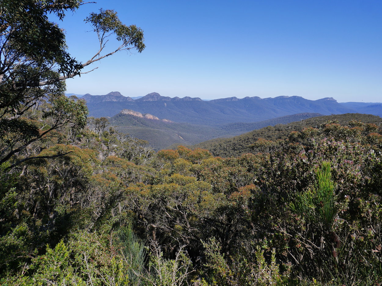
| Redmans Bluff in the distance | ||
 |
 |
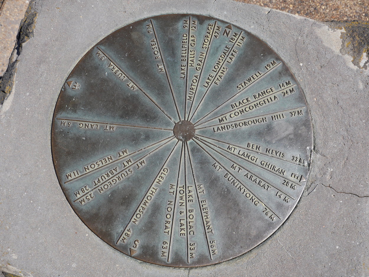 |
| Summit Cairn with Toposcope | ||
 |
 |
 |
 |
 |
 |
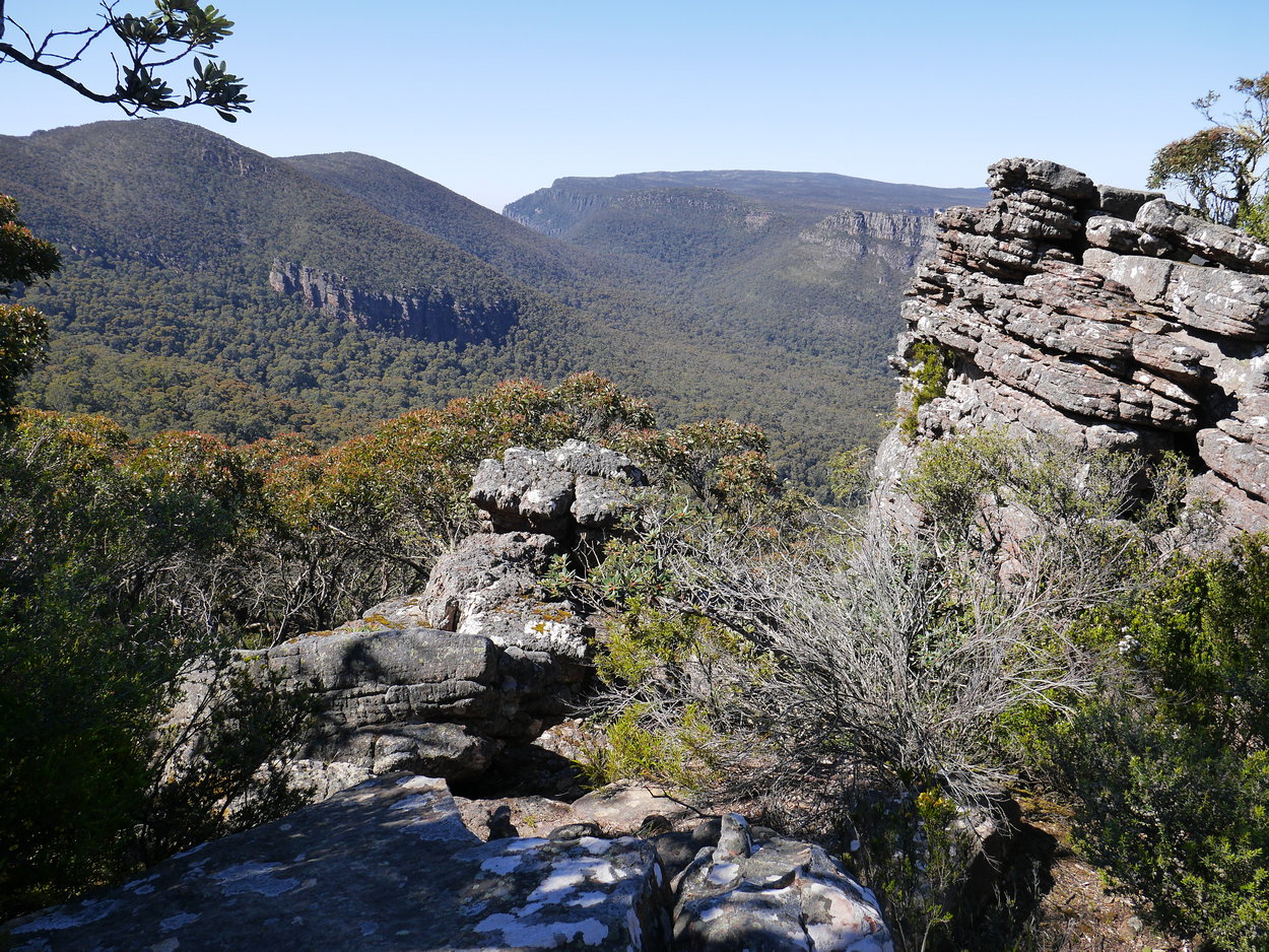
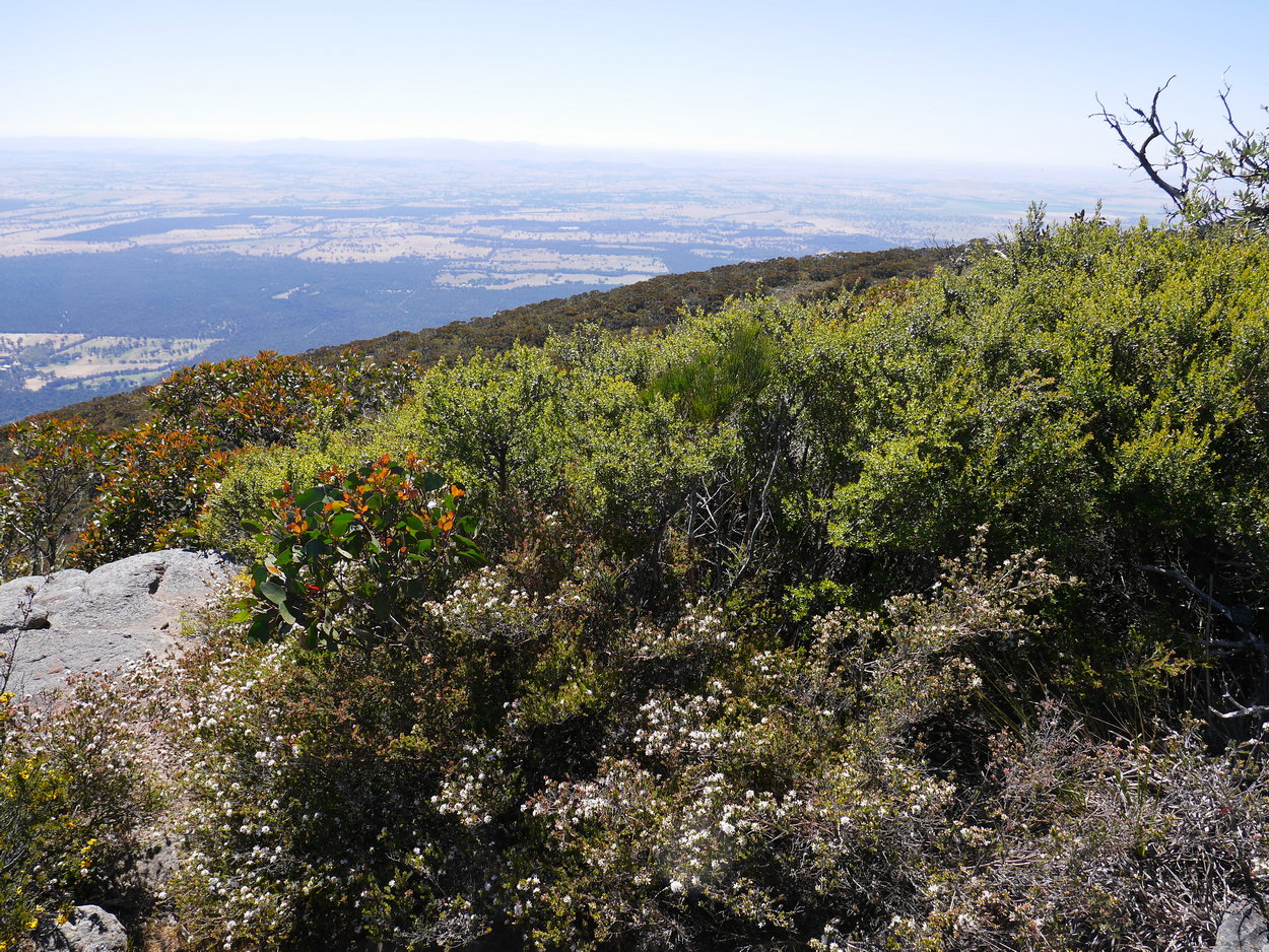
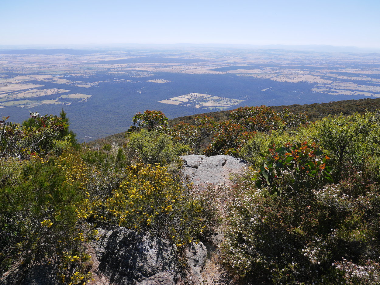
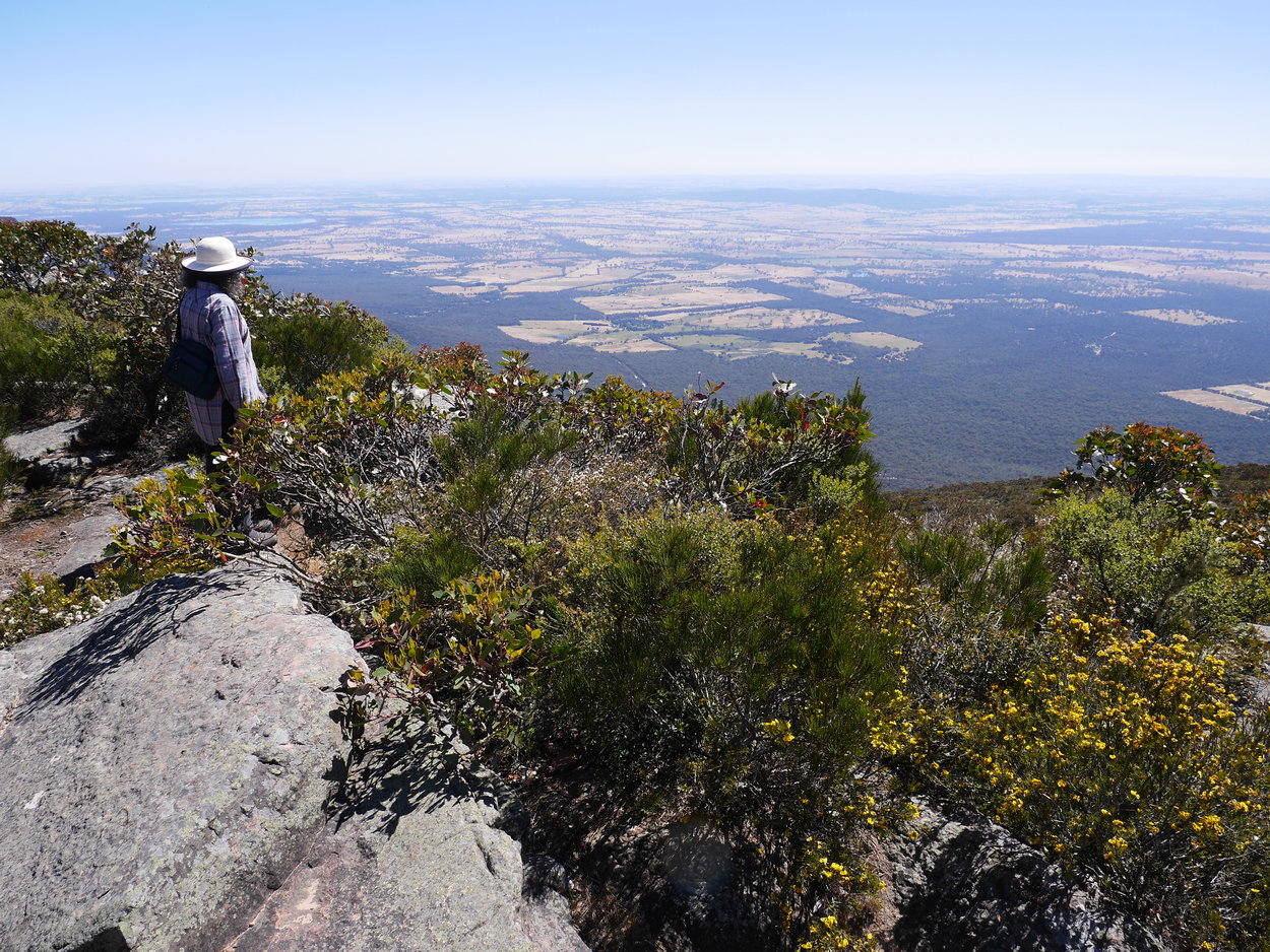
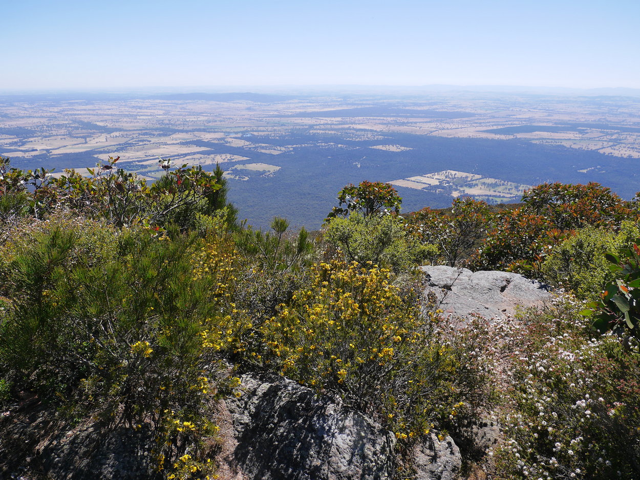
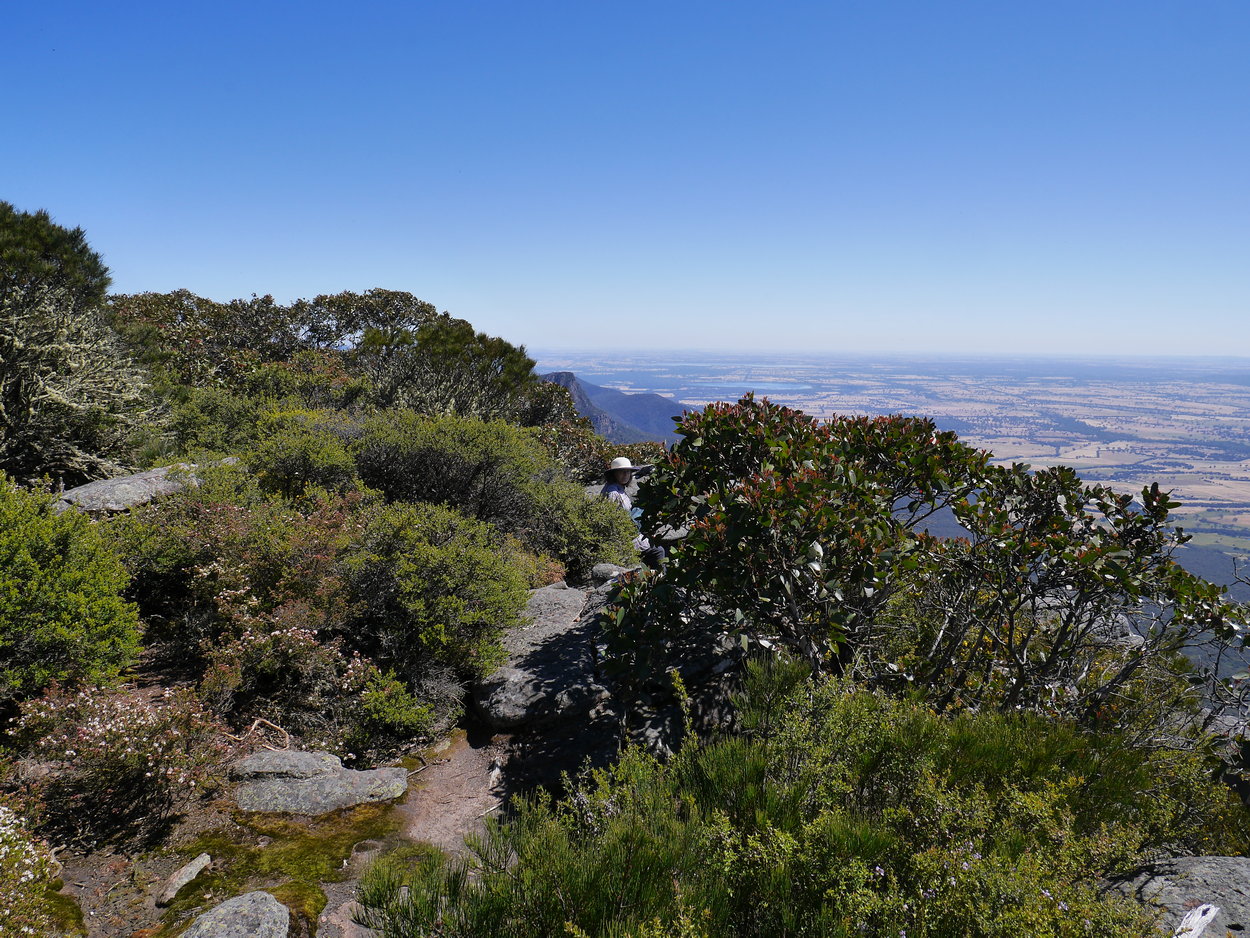
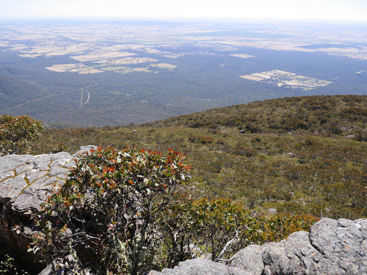
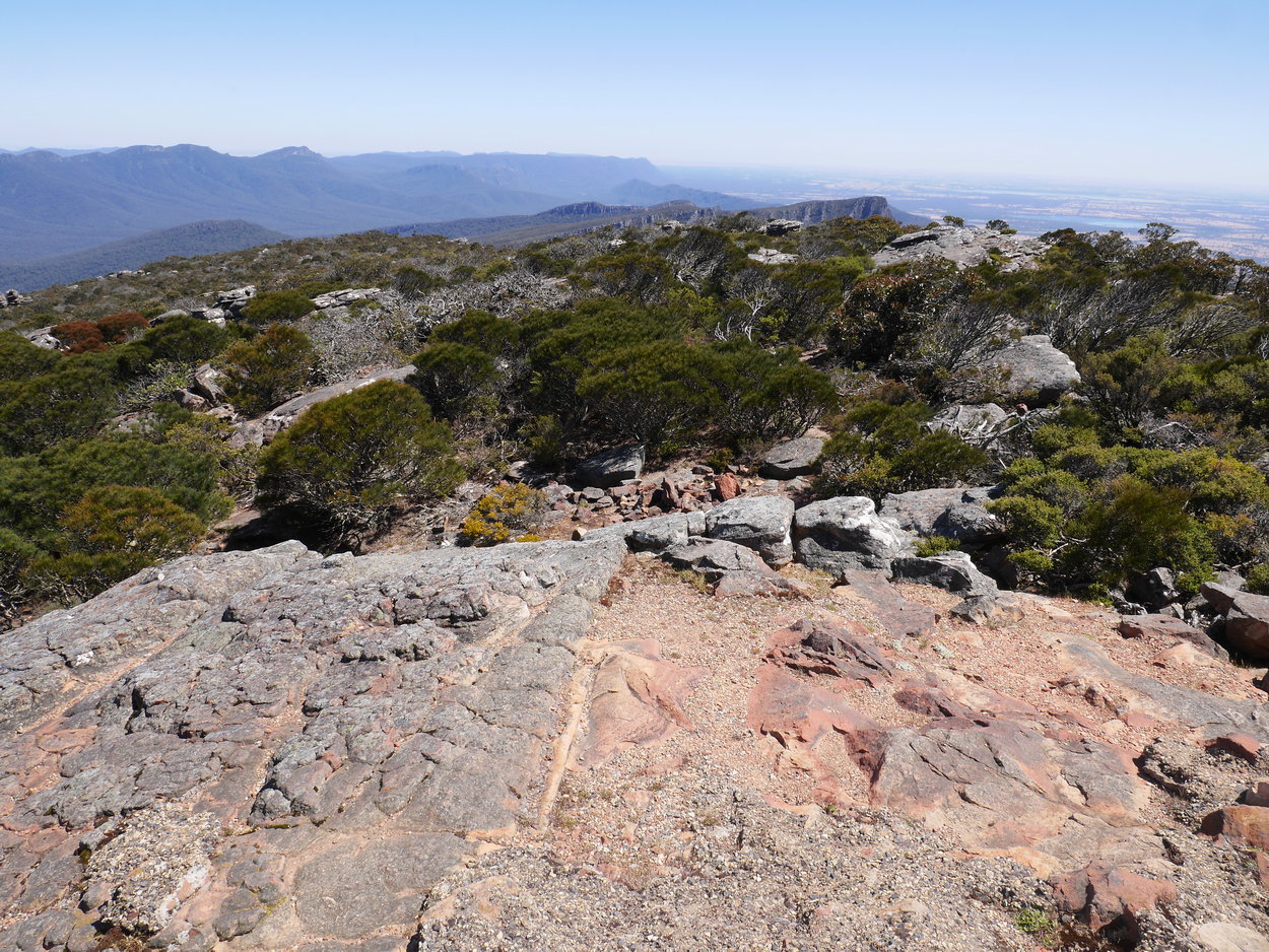
| Views from the top | ||
 |
 |
 |
| Redmans Bluff in the distance | ||
 |
 |
 |
| Back at the carpark | Only a few people walking today. | We weren't expecting to see an orchid on this walk - but we did. |