 |
|
|
| Back | |||
| After a day of rest after finishing the South Coast Walk, we decided to have a go at climbing Mt Eliza and maybe Mt Anne with a friend we’d met on the South Coast Track. Given the unknown, but much revered climb to the top of Mt Anne, with exposure to heights and awkward climbs we were not confident that we would reach the top, especially Luca, so Mt Eliza was the main goal. | |||
 |
 |
 |
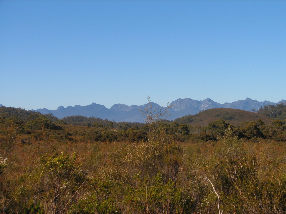 |
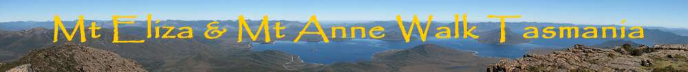
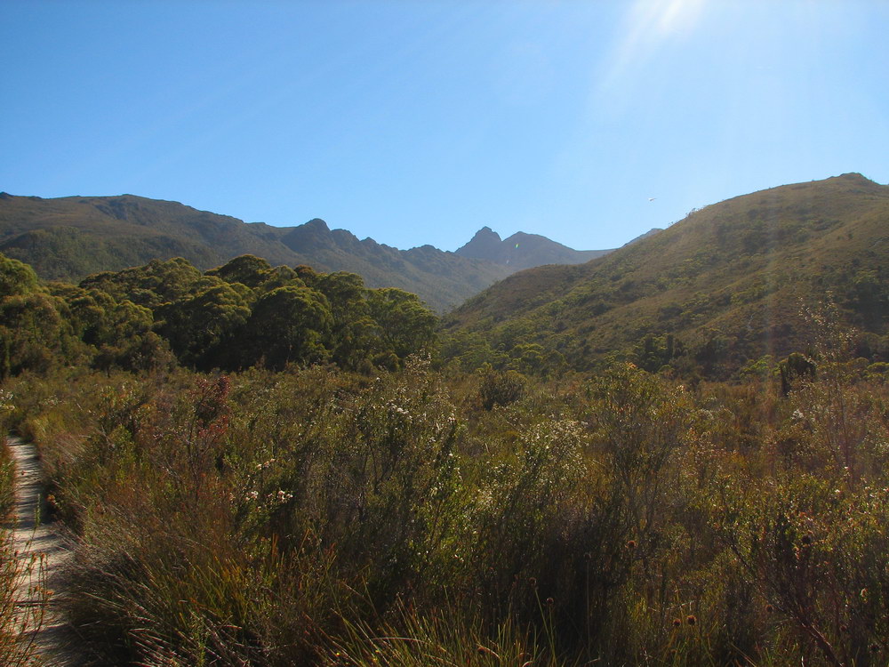
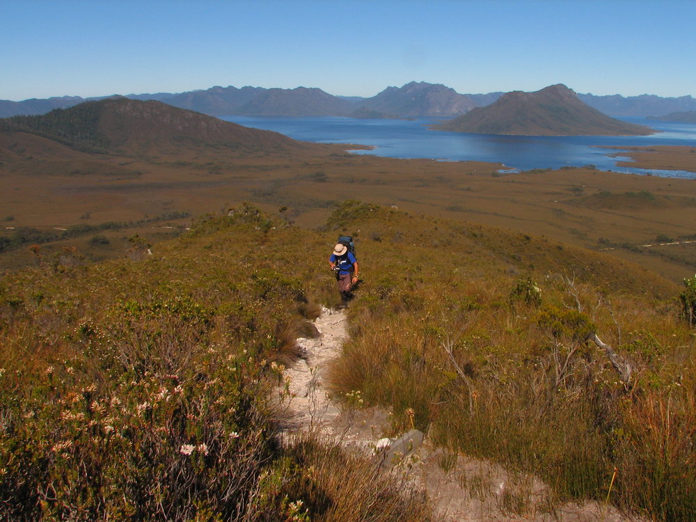
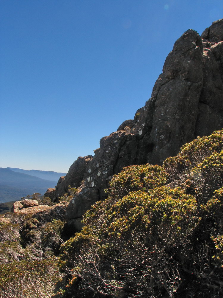
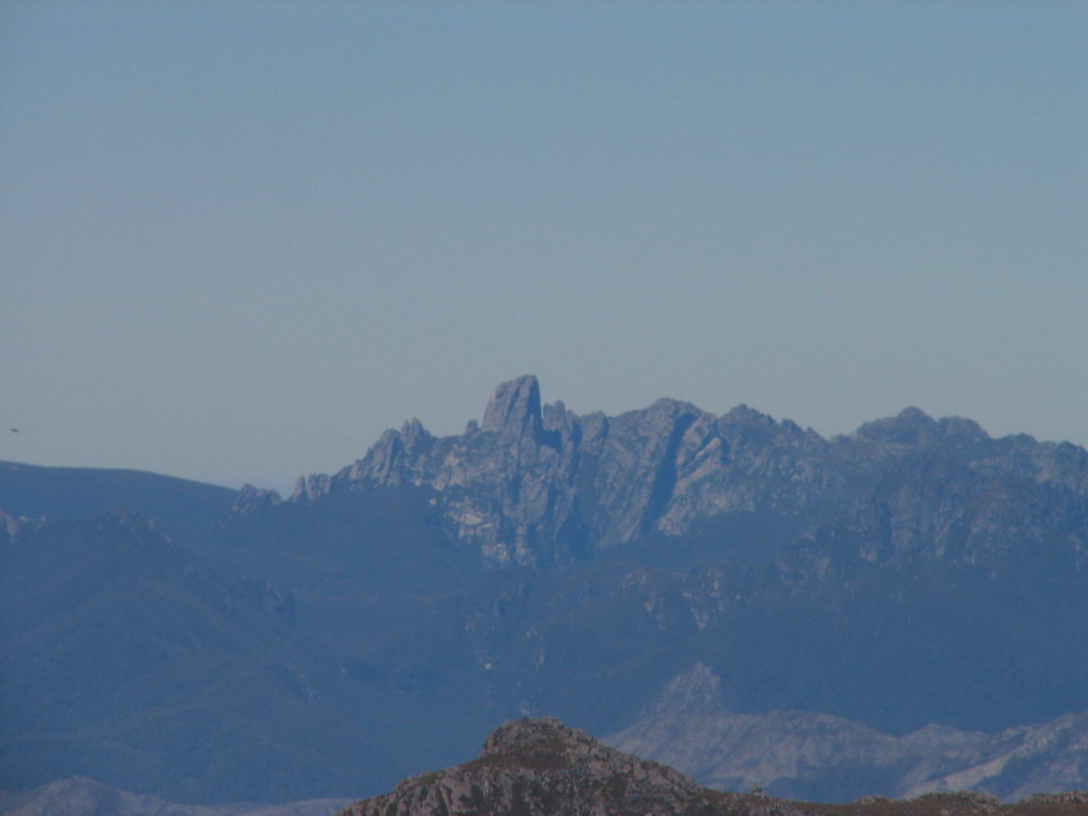
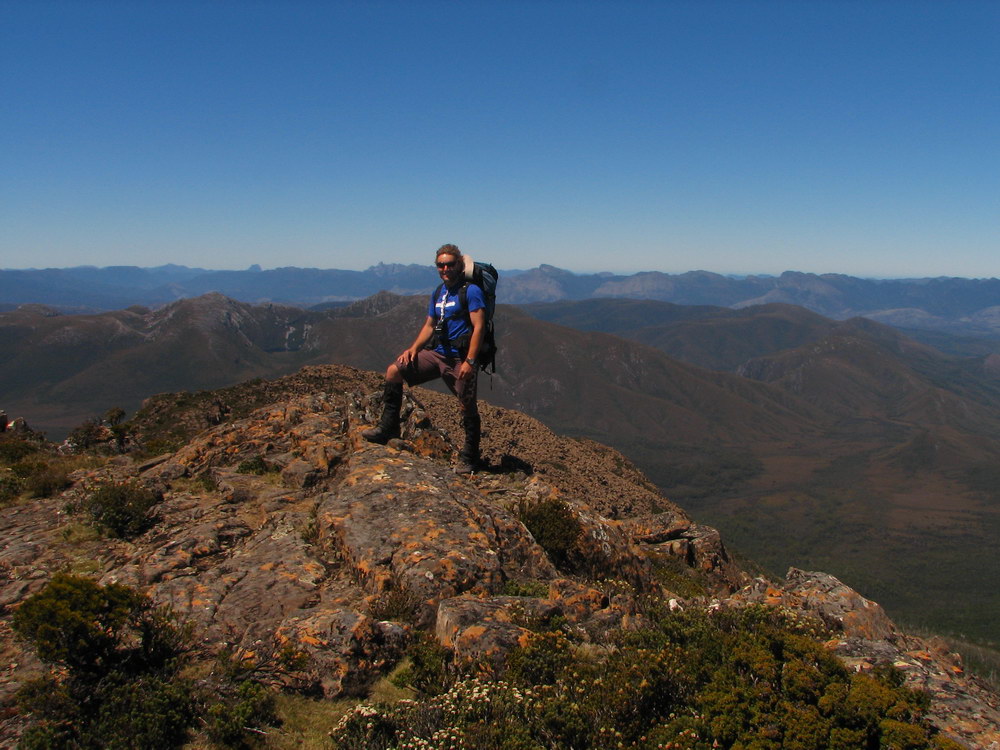
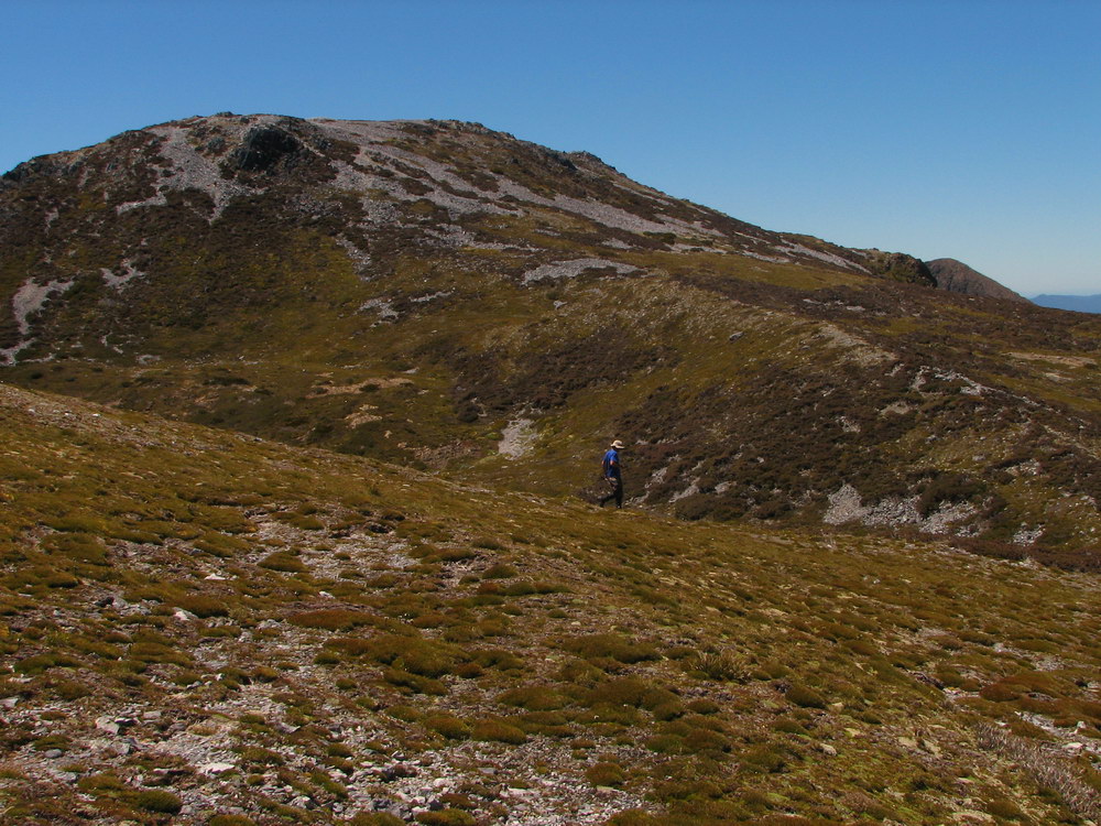
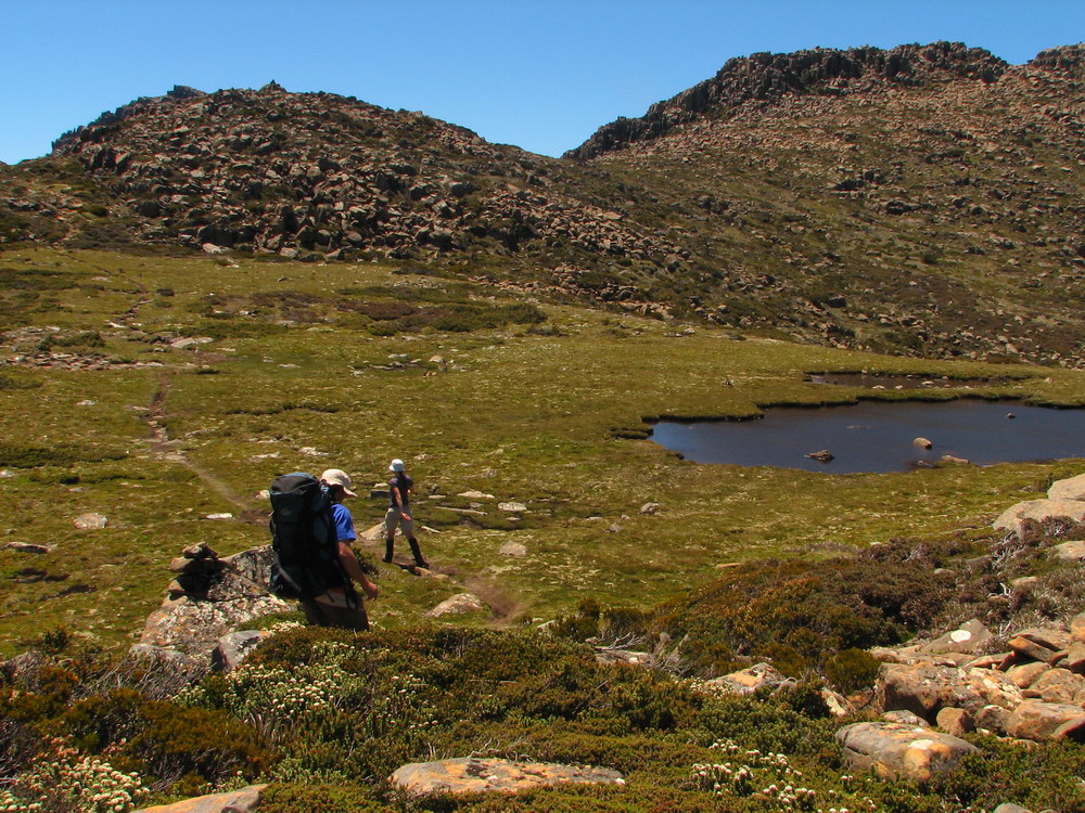
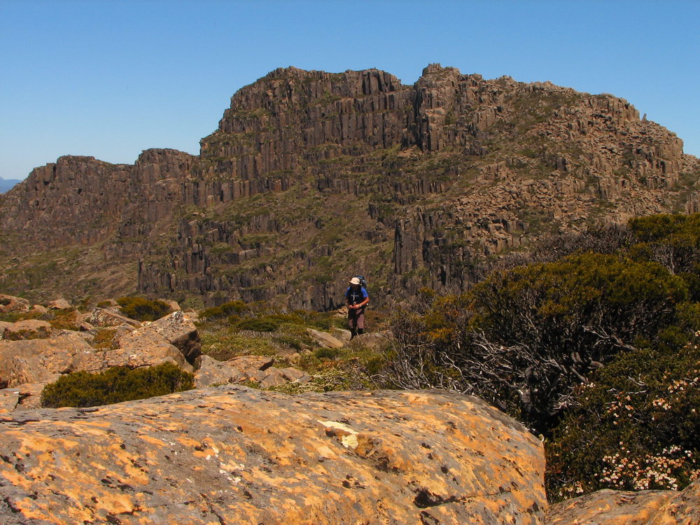
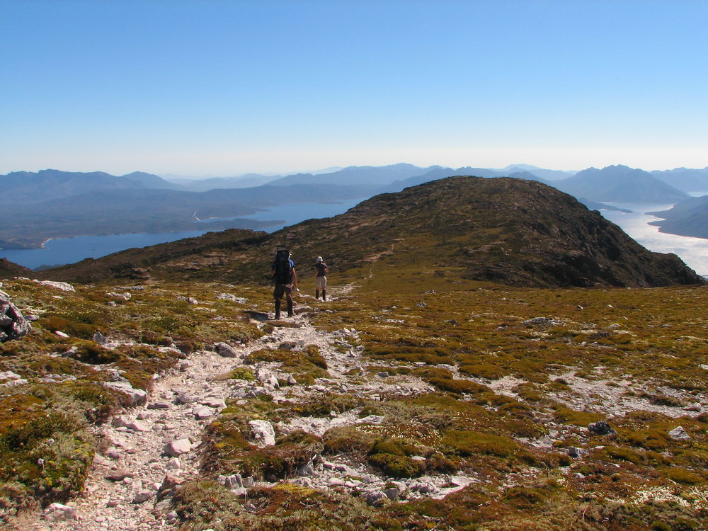
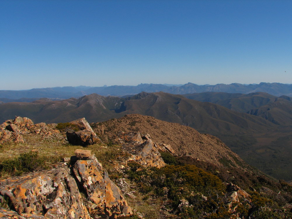
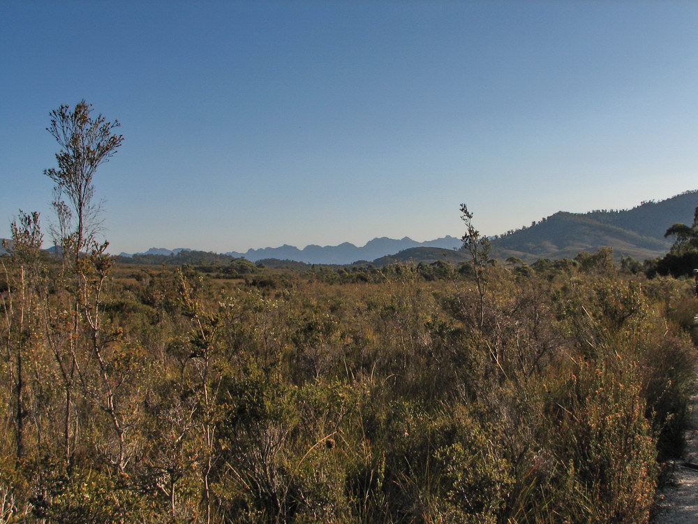
| Ready to go at around 9am after convincing Cam to go with the early start. We left New Norfolk at 7:00am, stopping to speak to the environmentalists at the Florentine Valley. | Here is our first view of the Mt Anne from the track. | Here are Cam and I admiring the view. Cam planned on camping halfway down the mountain that night, and was carrying some camping gear accordingly. | The Western Arthurs in the distance. This was our first look at the Western Arthurs, and was very exciting! |
 |
 |
 |
 |
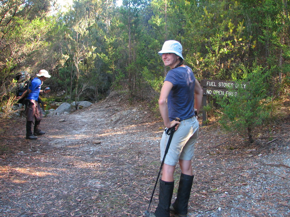
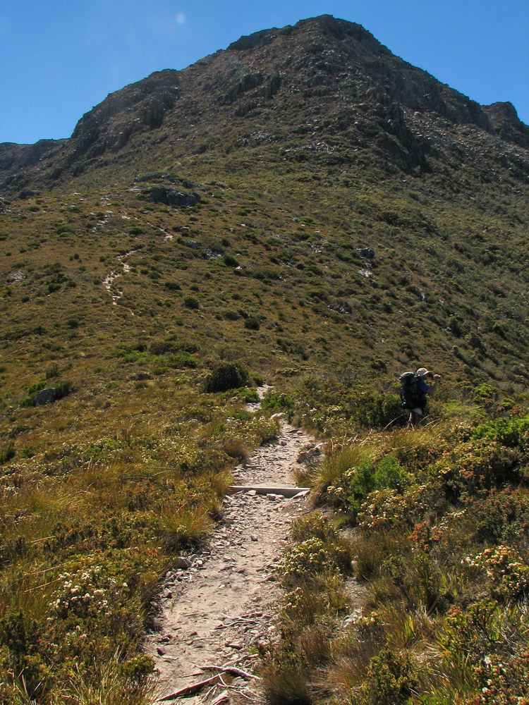
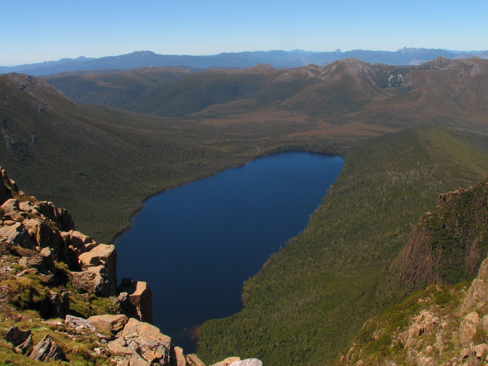
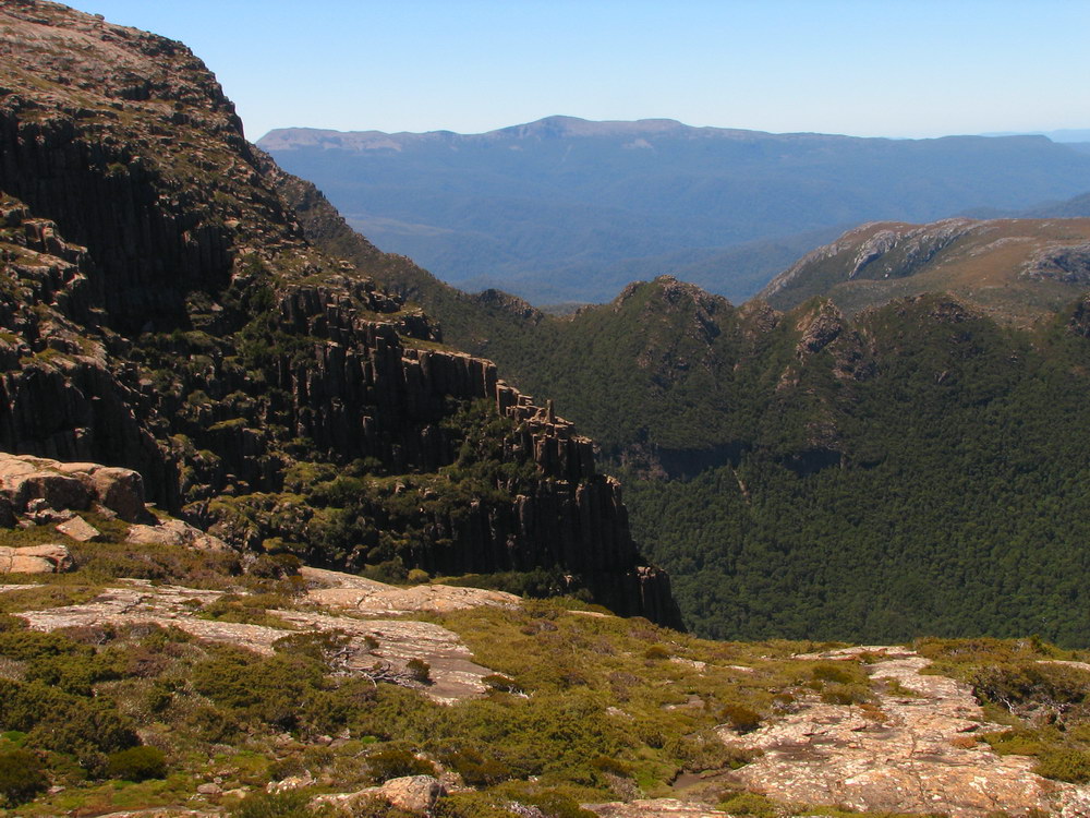
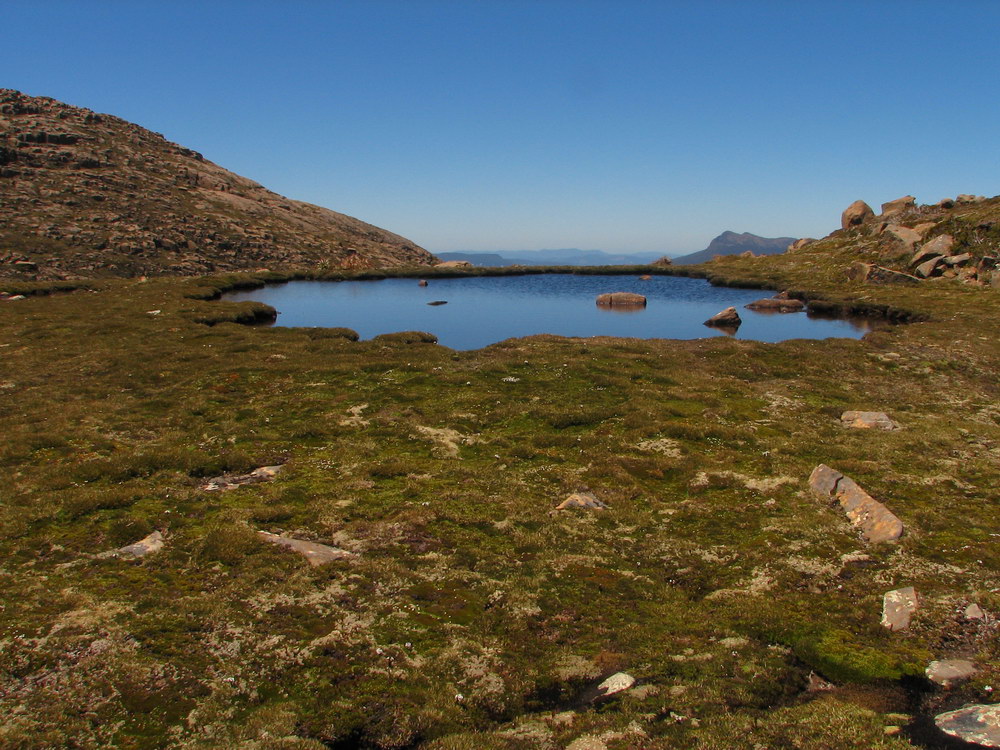
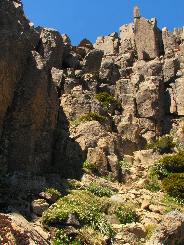
| As we started to climb we quickly got great views of Lake Pedder, with Mount Solitary (another one!) in the middle, now surrounded by water after Lake Pedder was created. | This is the view south, with the Western Arthurs behind the small hill. | The Franklin Range behind Lake Pedder. | The start of the walk involves a consistent climb up for almost 700ms, to reach the High Camp Memorial Hut. |
 |
 |
 |
 |
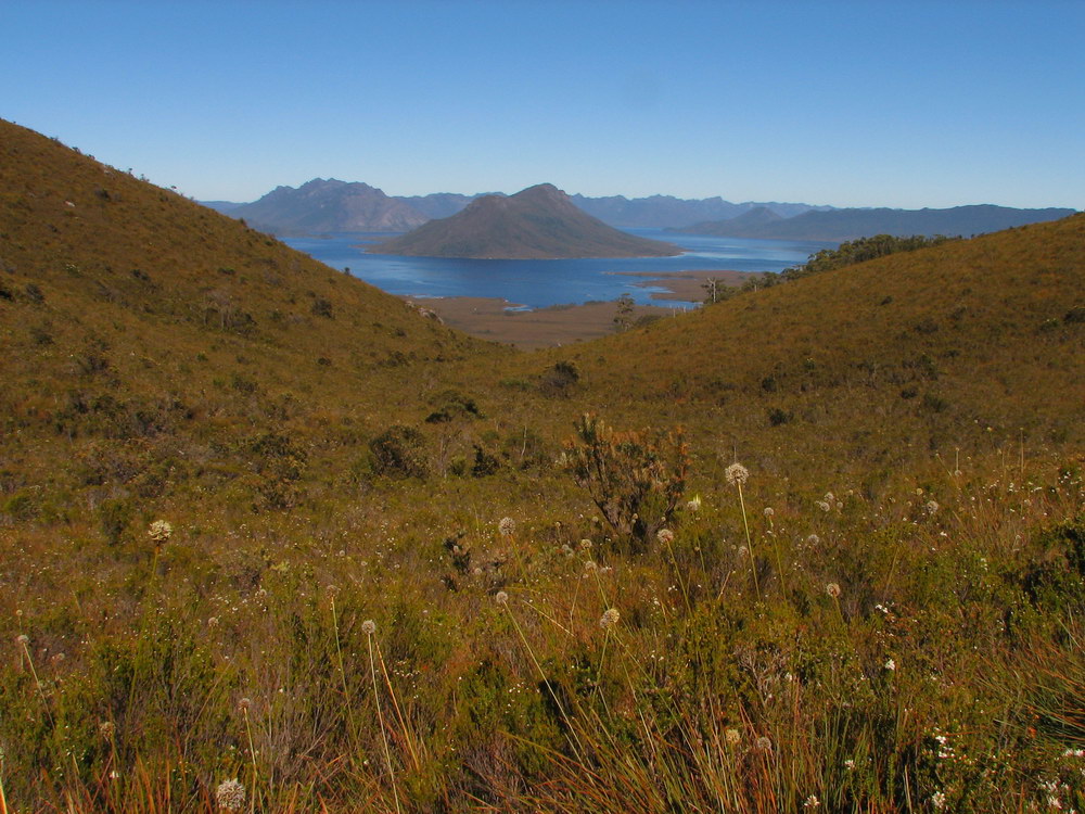
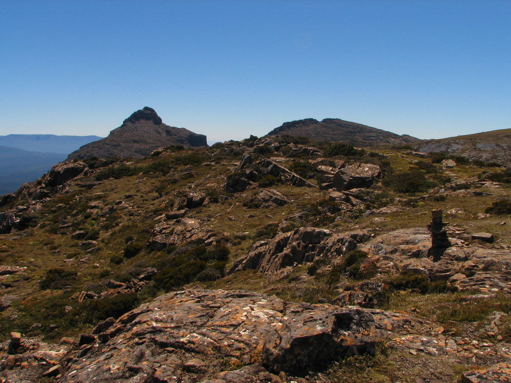
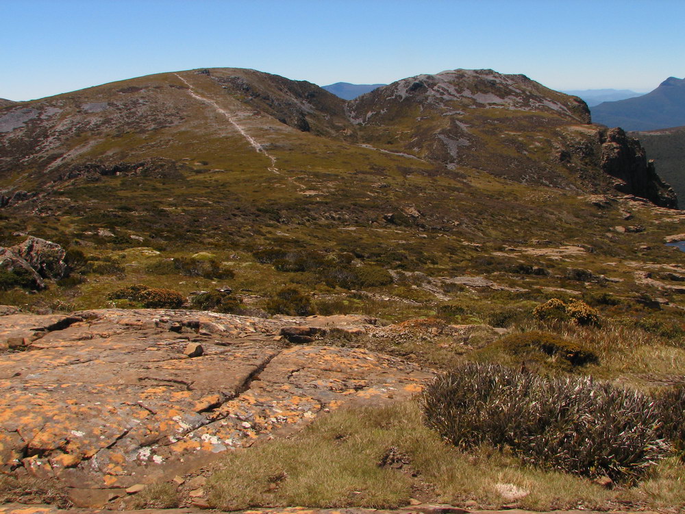
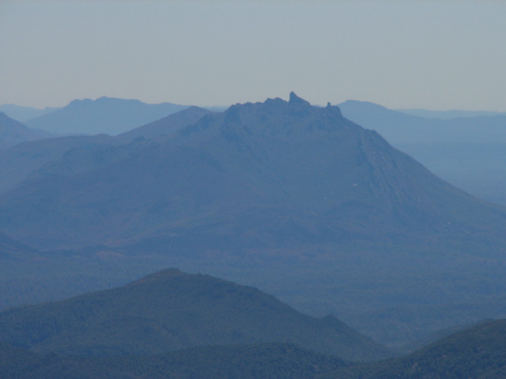
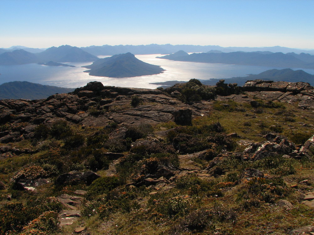
| Lake Pedder again. | and again. | Mt Anne in the middle of the photo. | The track we have just come up, descending down the mountain. |
|
|
|||
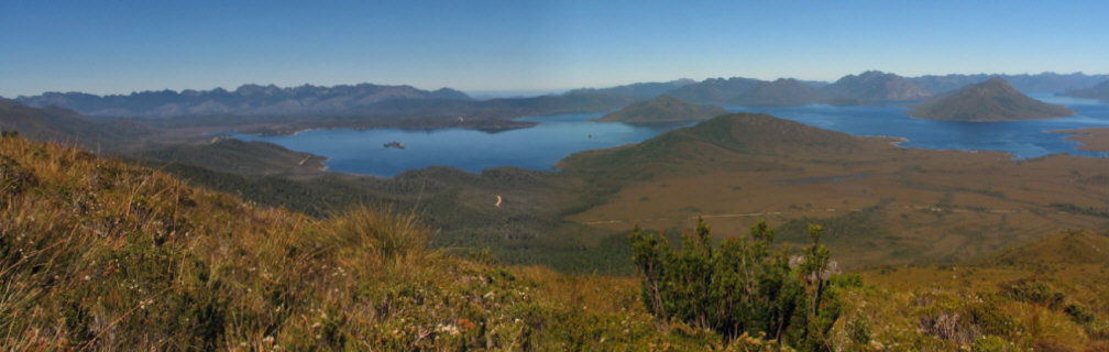
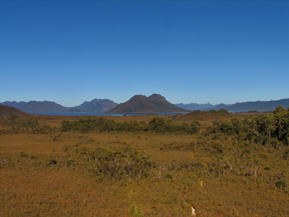
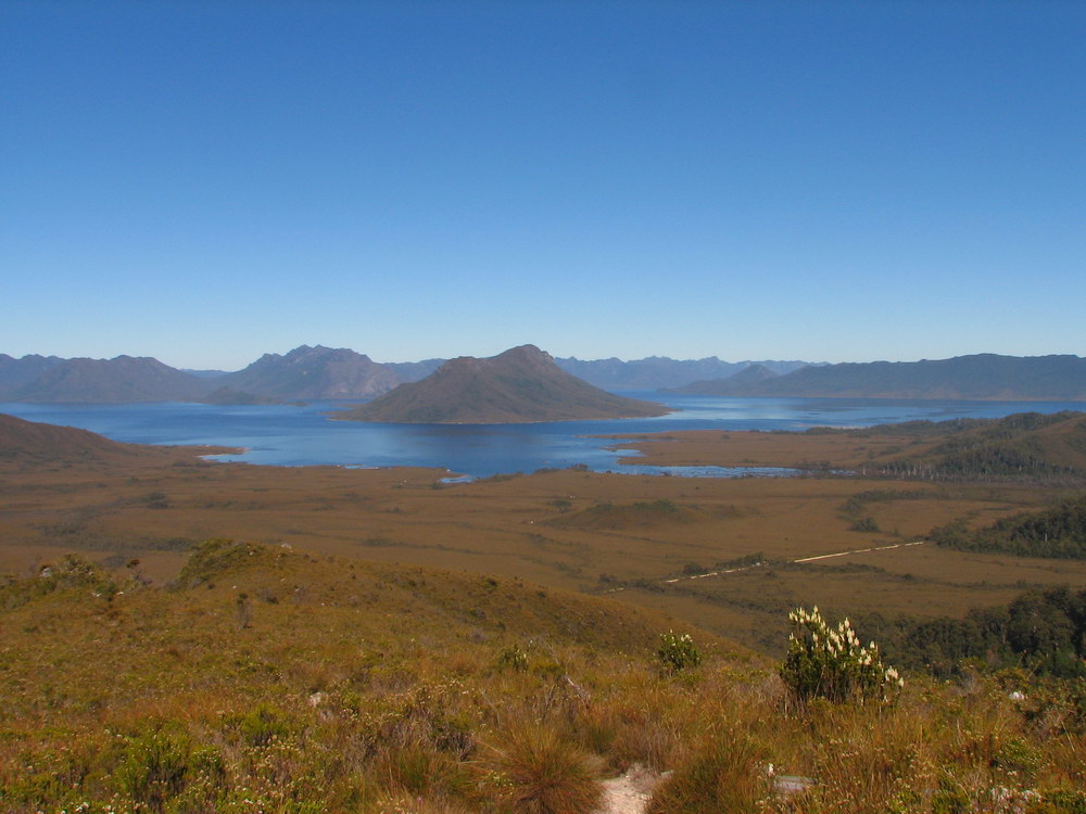
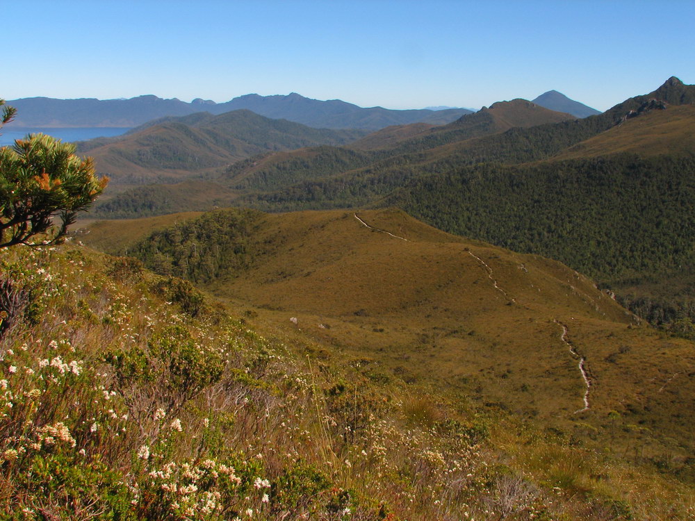
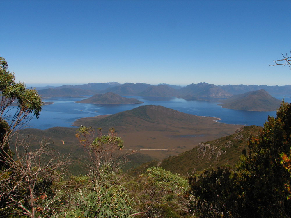
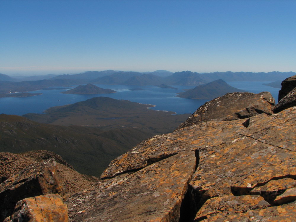
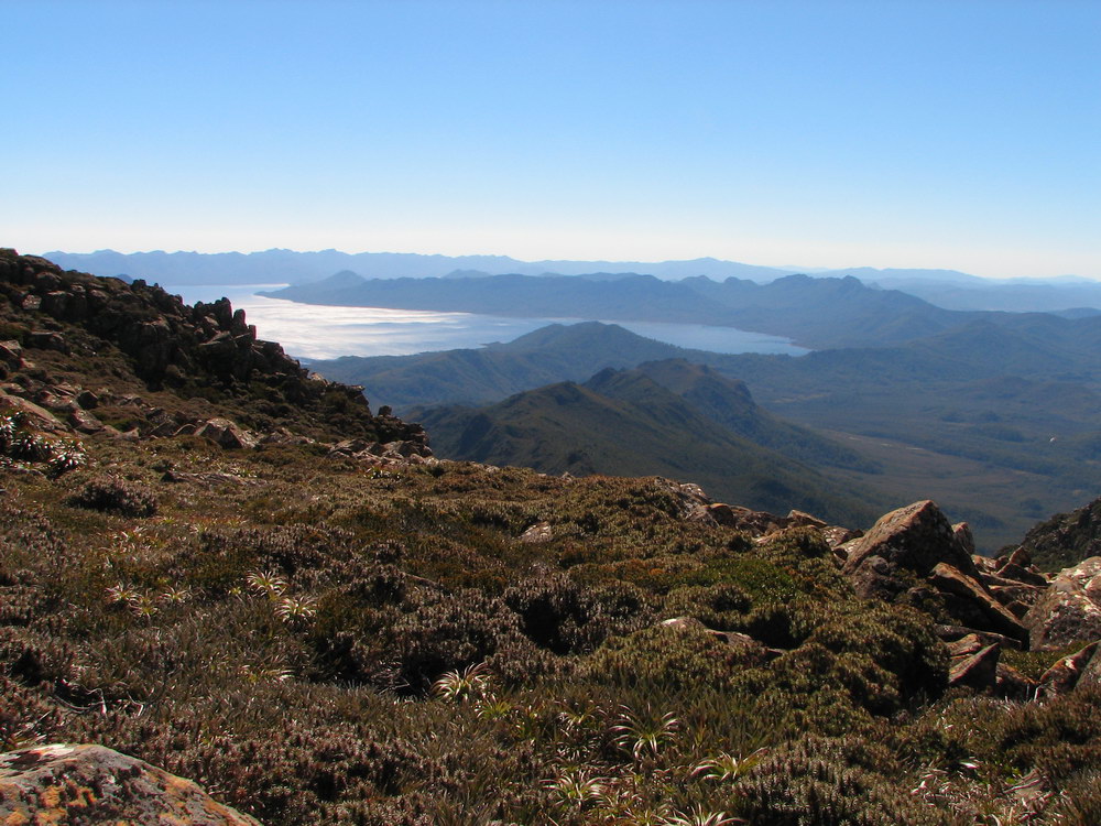
| The Western Arthurs on the left, and the Franklin Ranges on the right. Lake Pedder in the foreground, with Scott’s Peak in the middle. | |||
 |
 |
 |
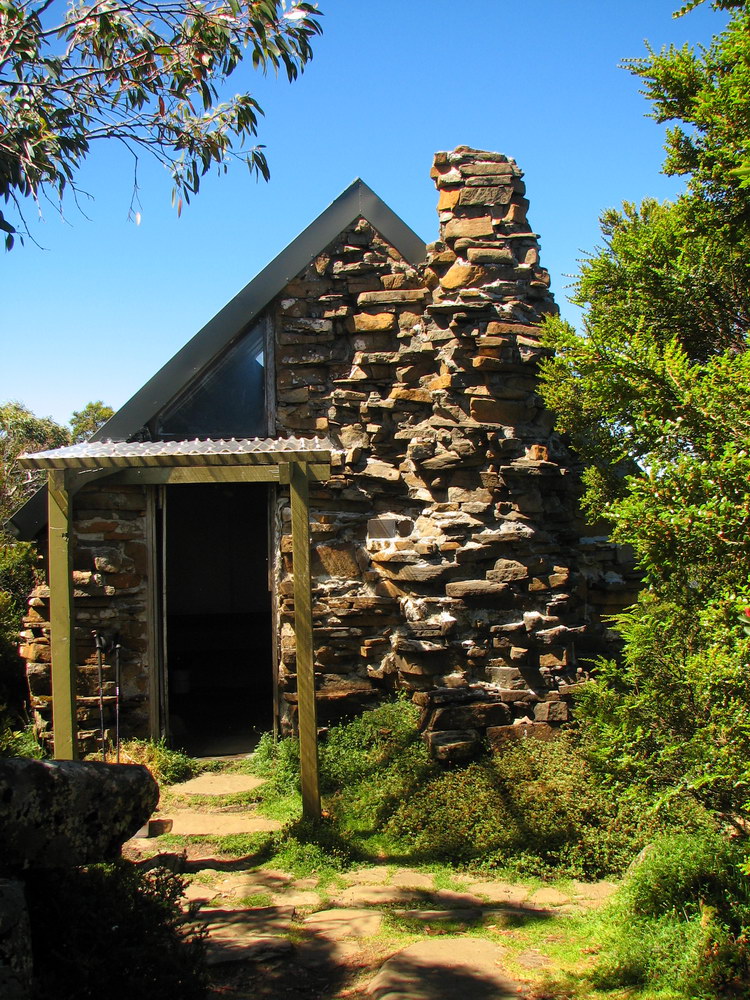 |
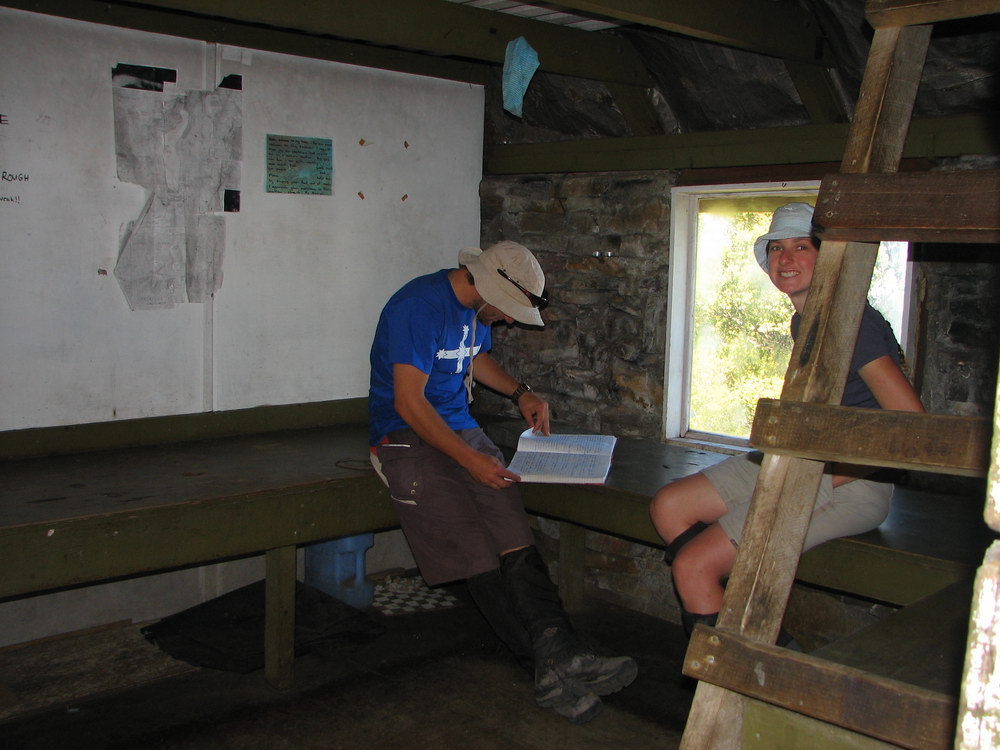
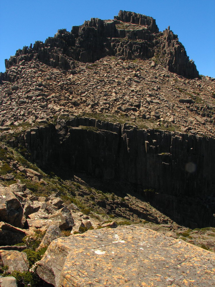
| Mt Anne. | The track leads upwards, and it started to get very steep as we neared the hut. The track leads upwards, and it started to get very steep as we neared the hut. | Inside High Camp Hut. The log book always contains some good stories! | High Camp Memorial Hut. There is a great view from the loo behind the hut! |
 |
 |
 |
 |
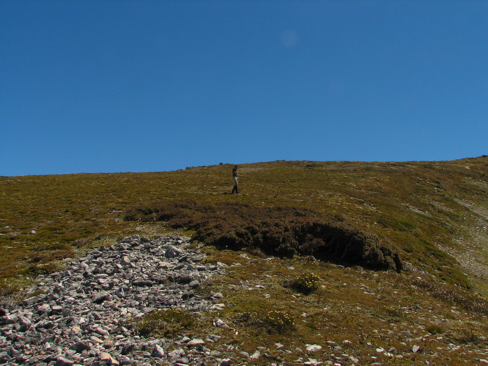
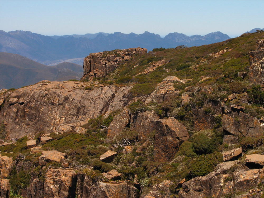
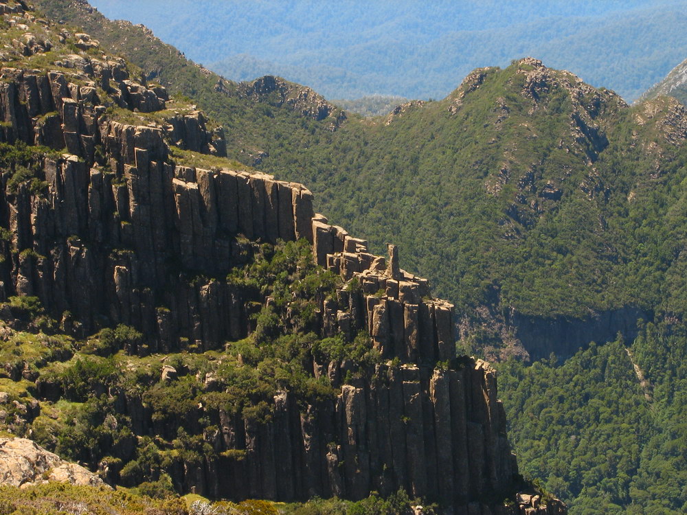
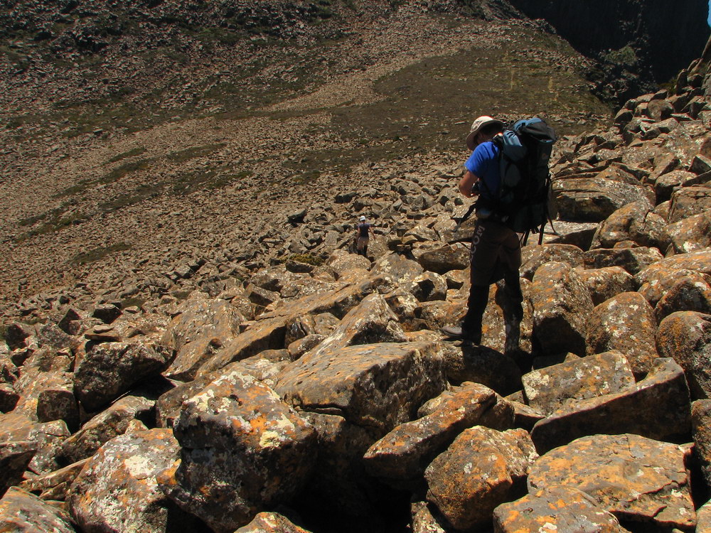
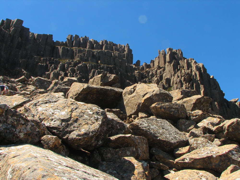
| Lake Pedder. | Lake Pedder again. You can see the track we have come from winding down, with the road in the distance. | Deception Ridge. | After the hut the boulder hoping starts to get to Mt Eliza. |
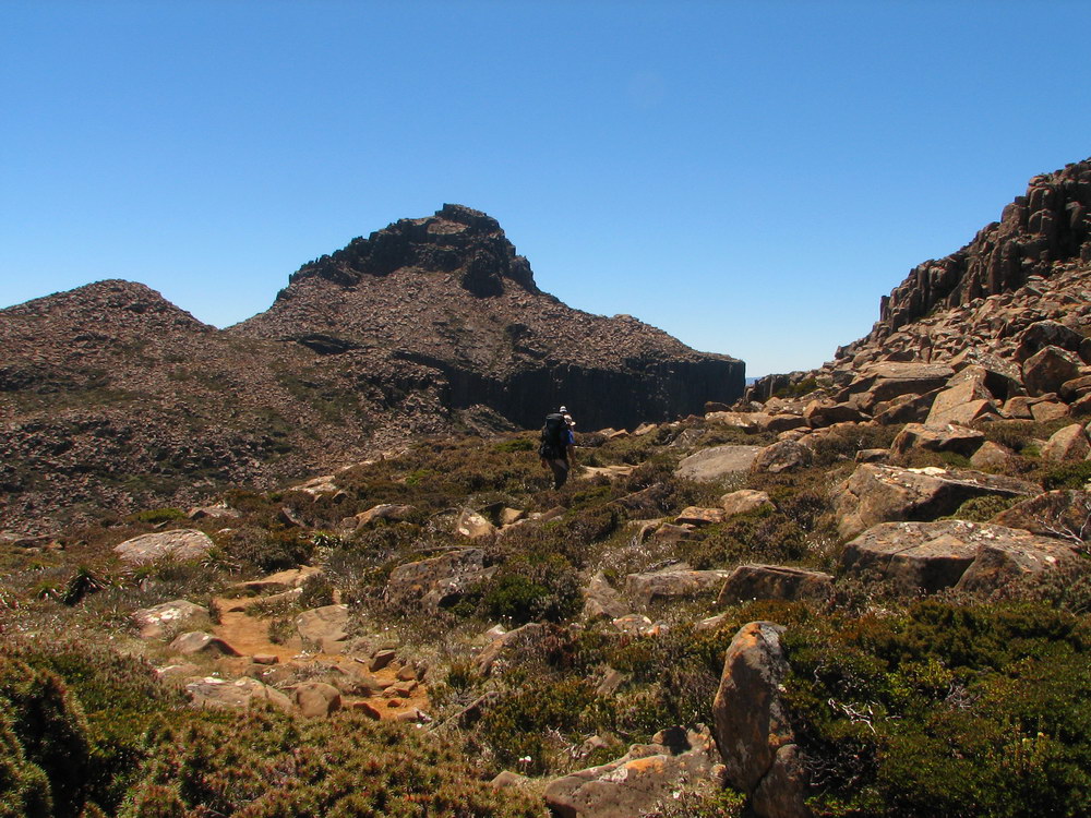
 |
 |
 |
 |
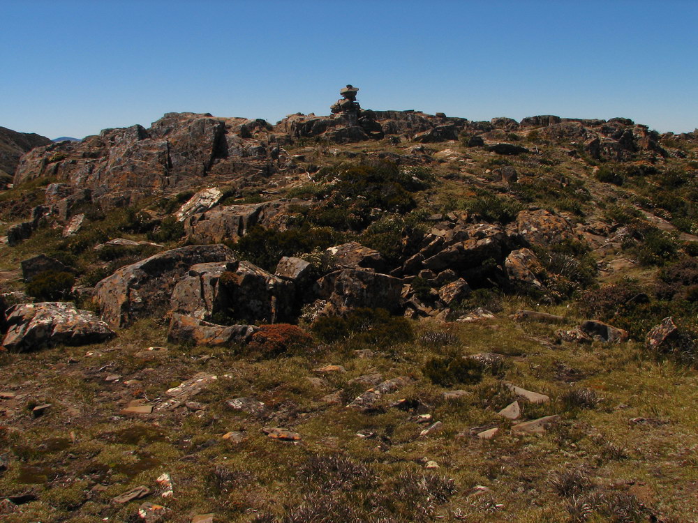
| Almost at the top of Mt Eliza. | At the top! The boulders at the end required concentration for those of us who aren’t as confident on our feet, so it was good to be on flat ground again. | Here is the cairn that marks the top. | Great views from the top. |
|
|
|||
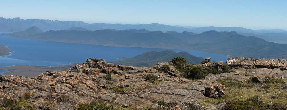
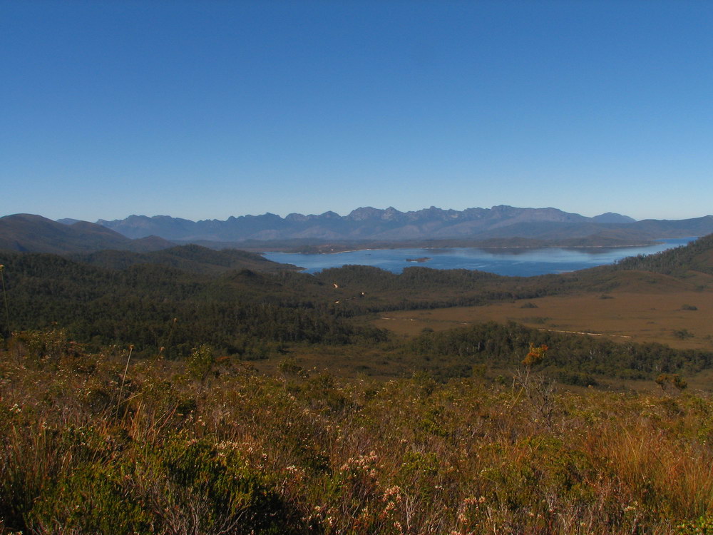
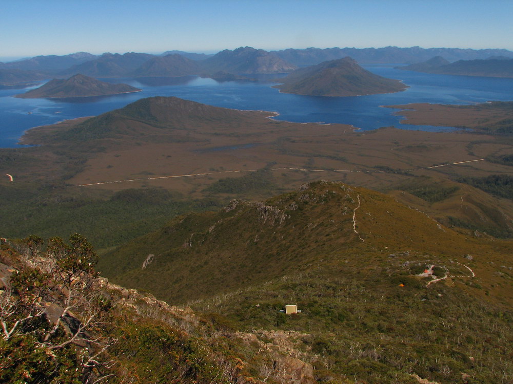
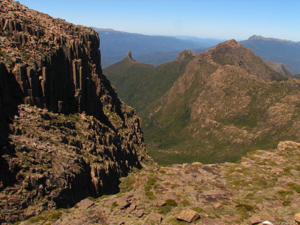
| Western Arthurs, Lake Pedder and Franklin Ranges. | |||
 |
 |
 |
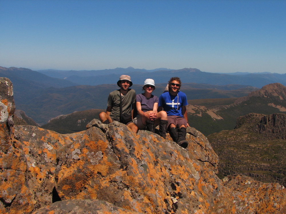
 |
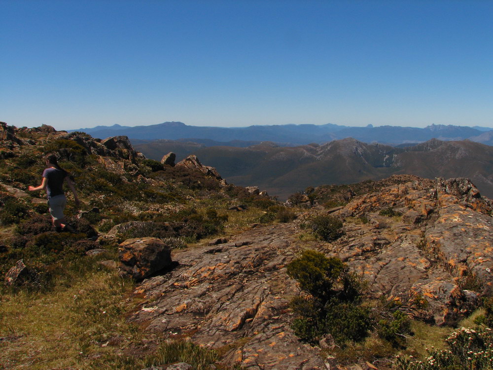
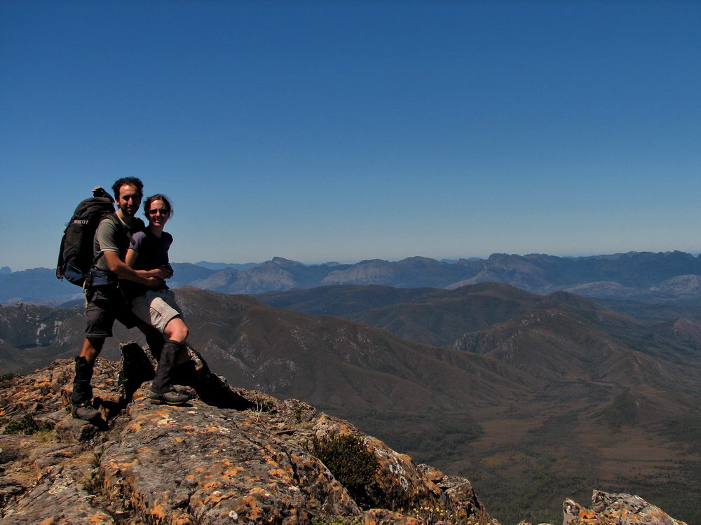
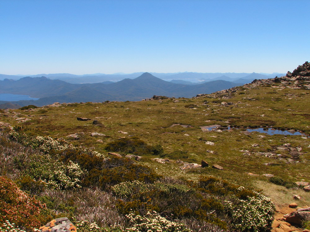
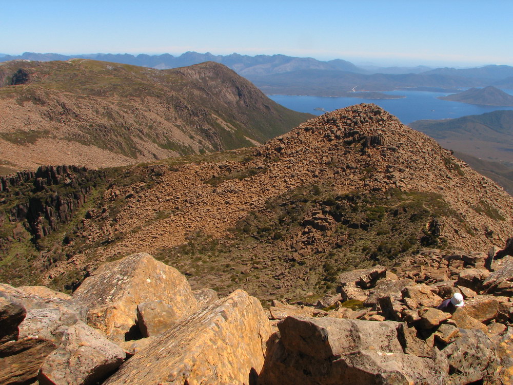
| Federation Peak. We’ll get there one day… | Cam at the top. | Luca and I at the top. | The day is quite young, as we reached the top around 11:30, giving us plenty of time to explore the plateau. |
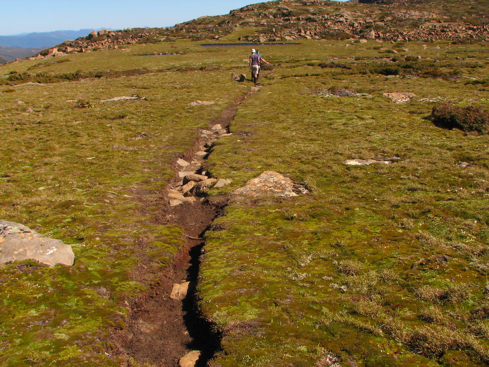
 |
 |
 |
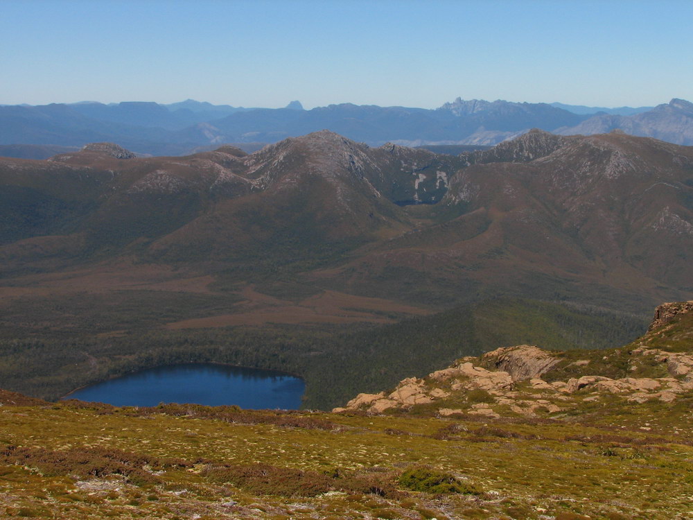 |
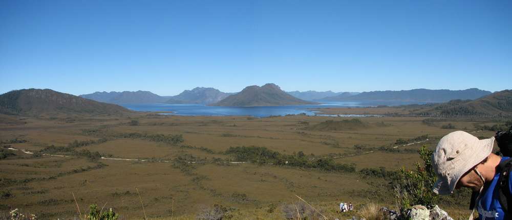
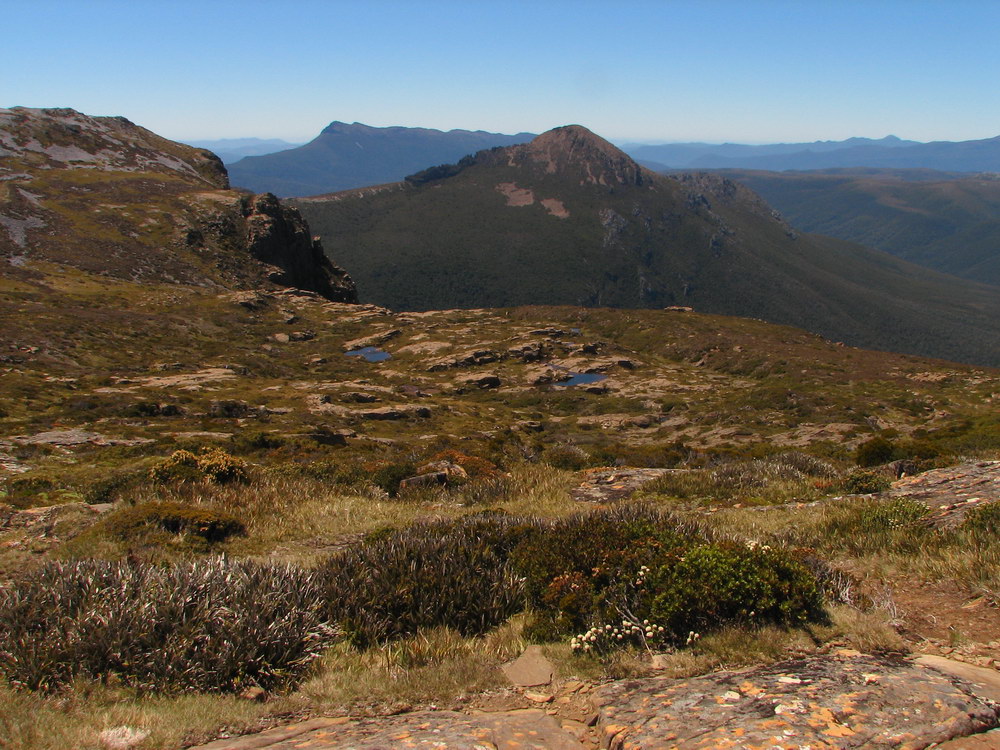
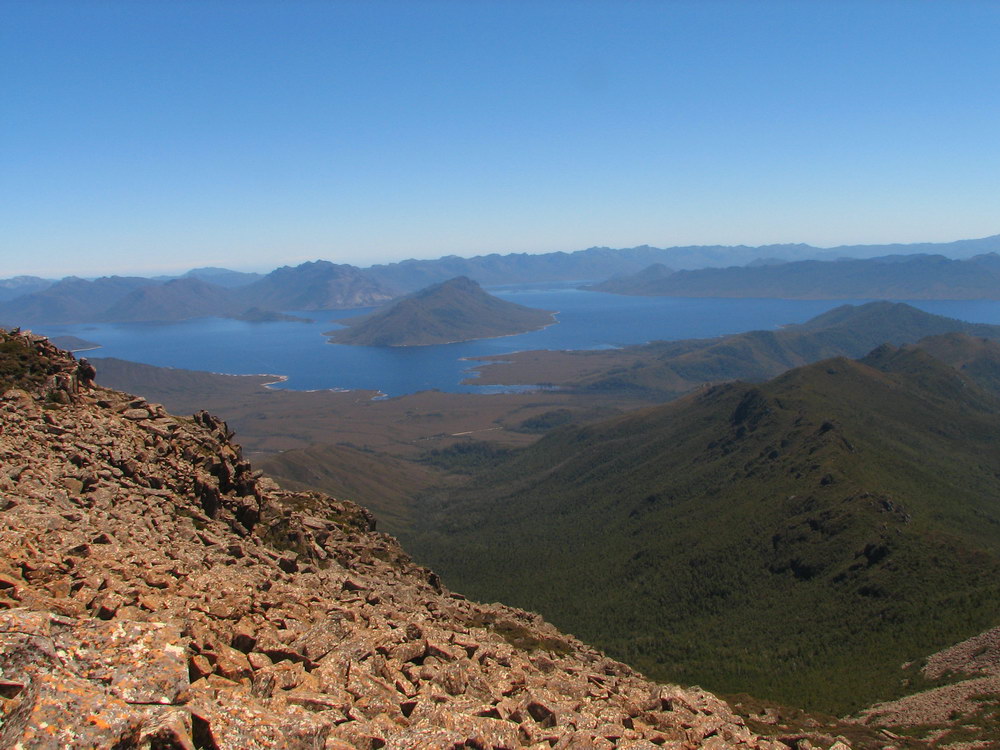
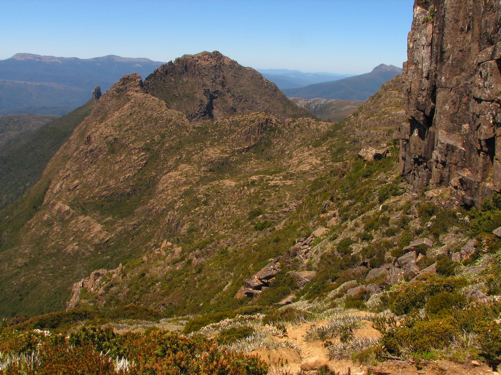
| The track continues along the plateau. | Mt Anne on the left – it feels so close! | Mt Anne – looks climbable! | The top of Lake Judd down below, with the Mt Anne range surrounding it, comprising of Mt Anne, the Lot and Mt Sarah Jane. In the background there is Precipitous Bluff and Federation Peak. |
 |
 |
 |
 |
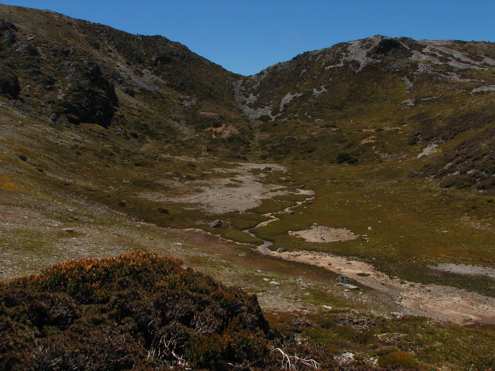
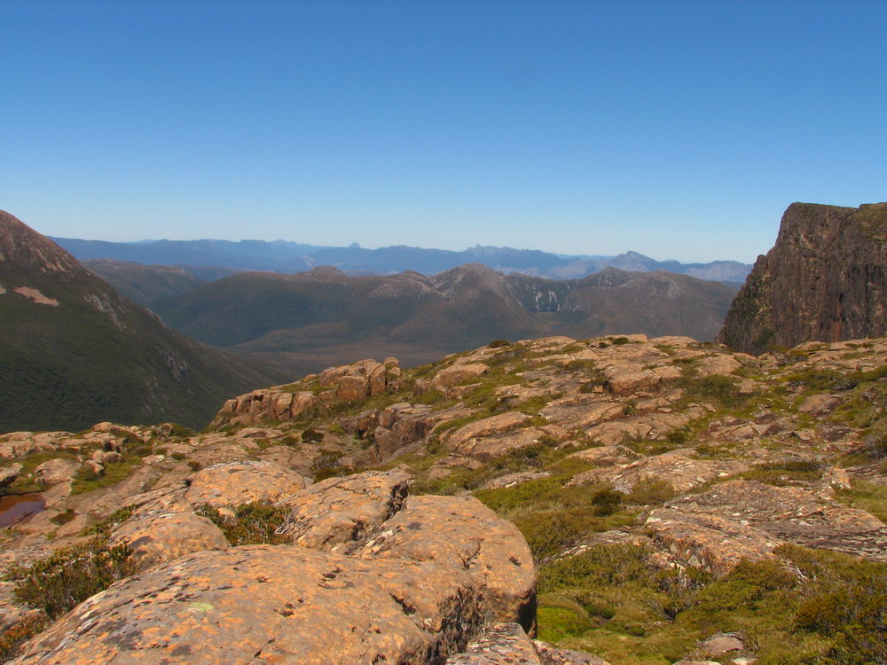
| Exploring the plateau. | The ground is very fragile, so we tried to keep to the rocks. | The rock slide heading down off the plateau towards Lake Judd. | There is reportedly a spectacular drop-off from the plateau into Lake Judd, but we didn’t find it. Over the edge here is another slope down. |
|
|
|||
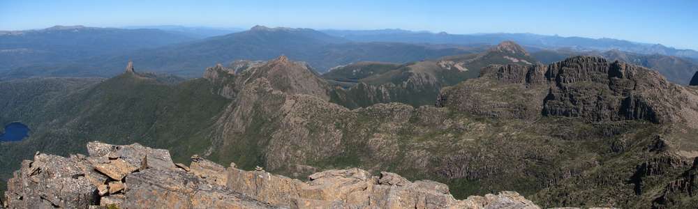
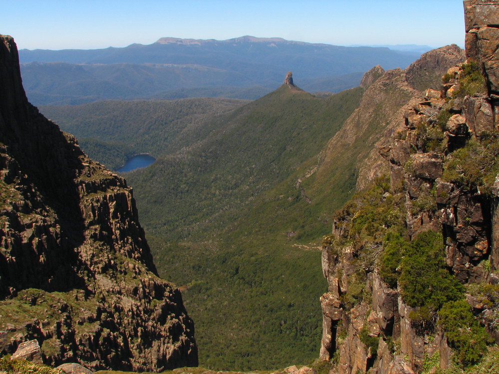
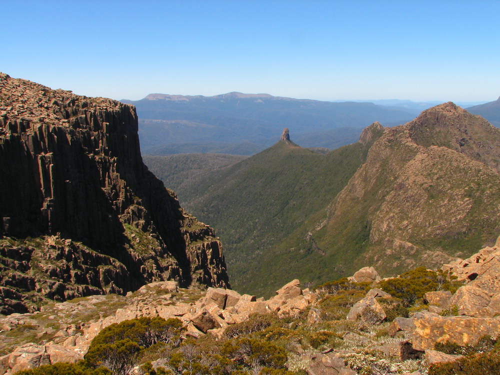
| Out of this world. From the left there is Lot’s wife standing alone, with the ridge following to The Lot. In the background on the right is Mt Sarah Jane. In the distance on the right is Precipitous Bluff – another future walk. | |||
 |
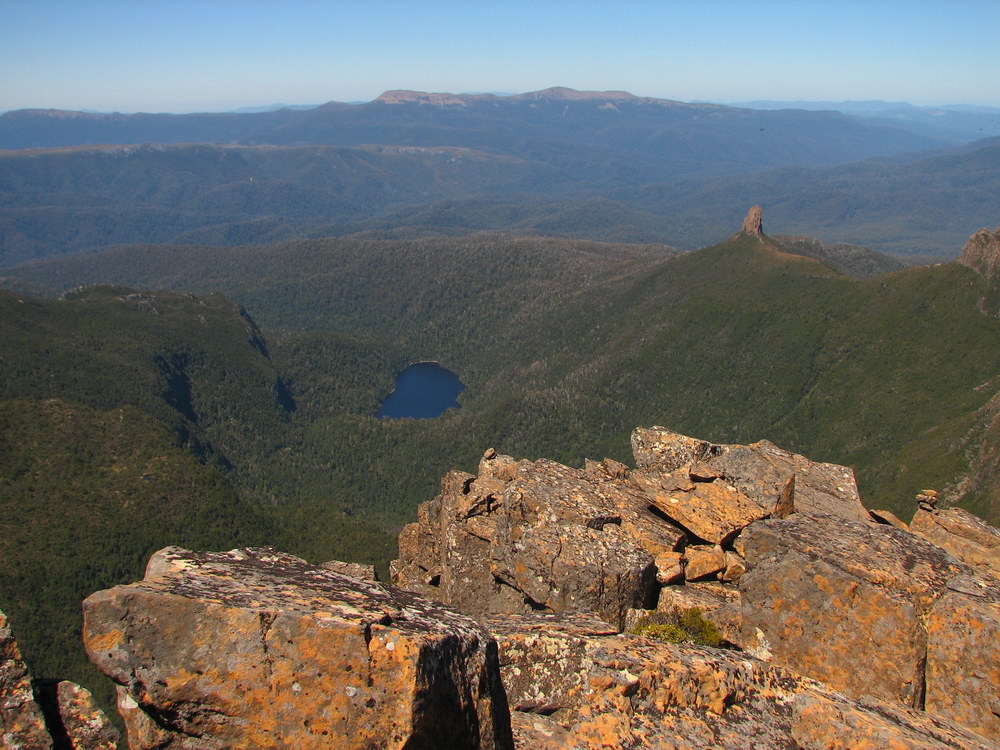
 |
 |
 |
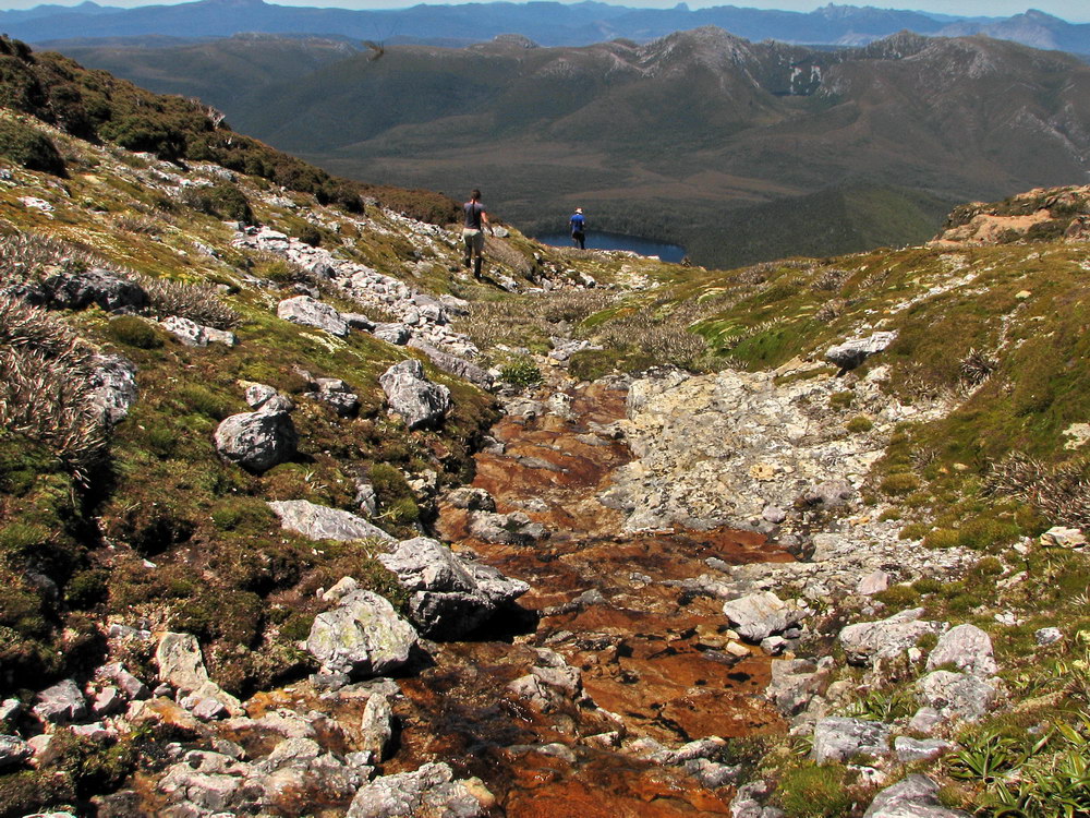
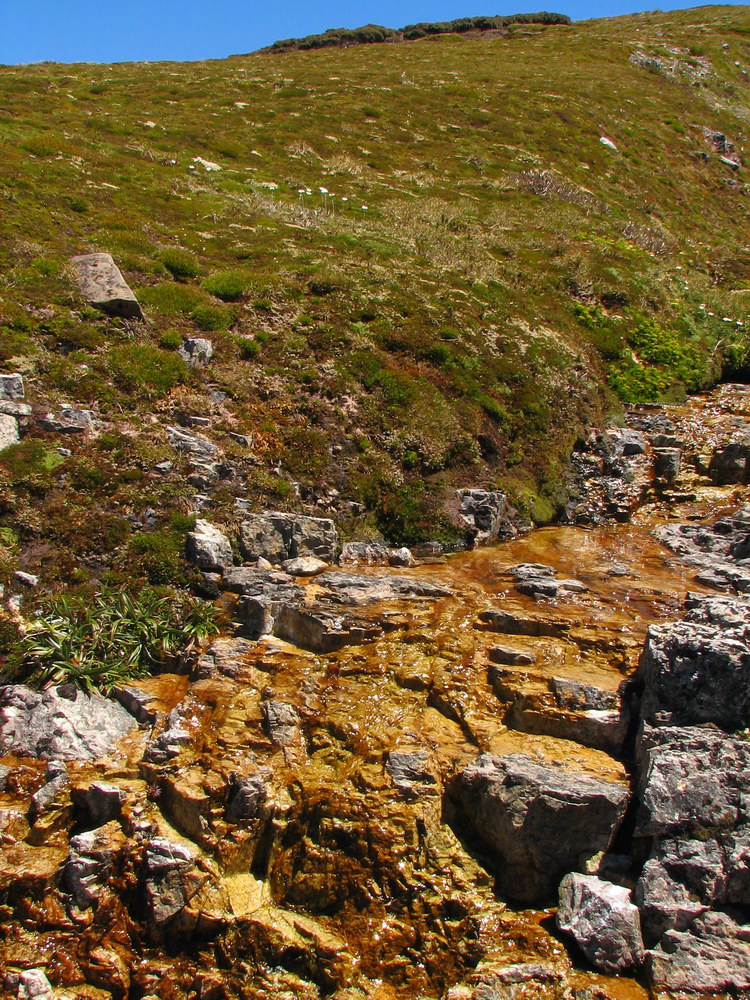
| Lake Judd. | The Eastern Arthurs in the background. | Nice clean water flowing down off the Plateau. | Back on the track. It’s pretty early so we decide to make our way towards Mt Anne and see how bad the climb to the top is. |
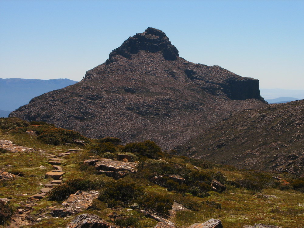
 |
 |
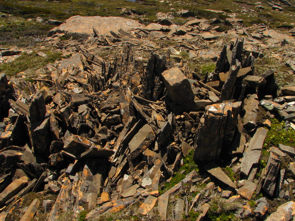 |
 |
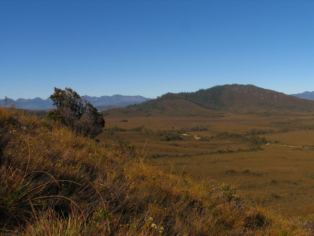
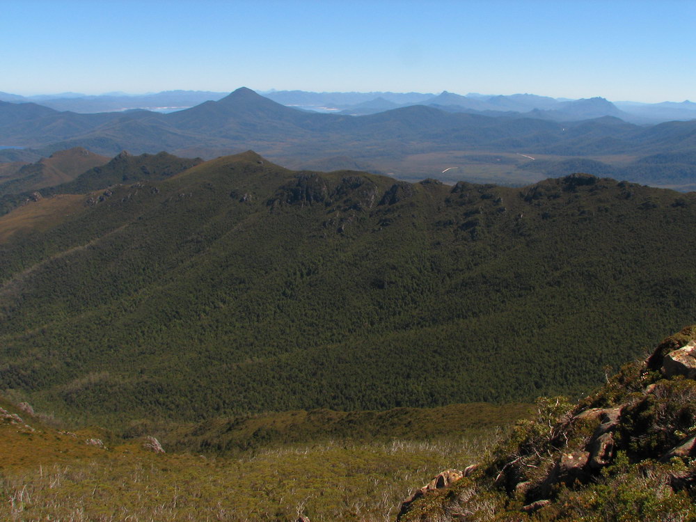
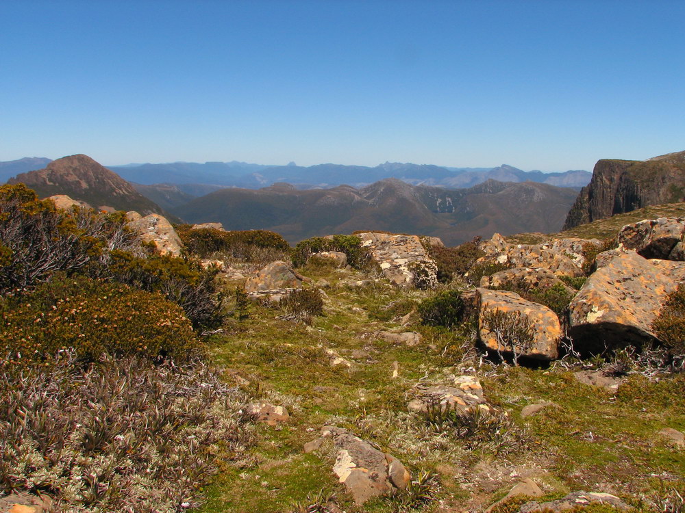
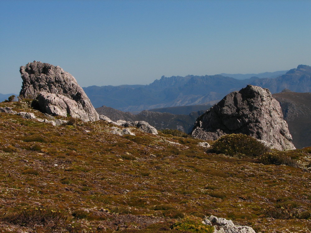
| Federation Peak. | Cross section of a pile of rocks lying next to the path. | Here are the rocks from above. Looks like a small scale model of the area! | Looking over to the south of the eastern end of the Eliza Plateau. |
 |
 |
 |
 |
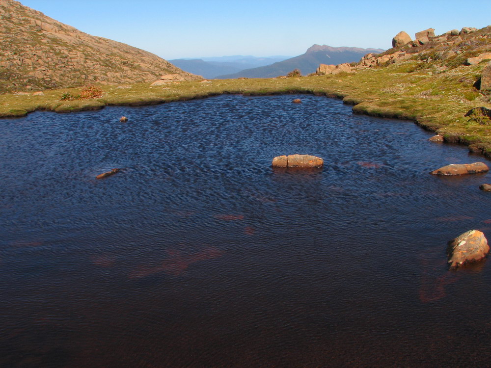
| Dolerite rock towering over Lake Judd. | Close up of the dolerite rock, and the tarn in the distance. | A tarn on the plateau. There were even small crustaceans in the water – not suitable for vegetarians though! | Looking south towards Mt Sarah Jane. |
 |
 |
 |
 |
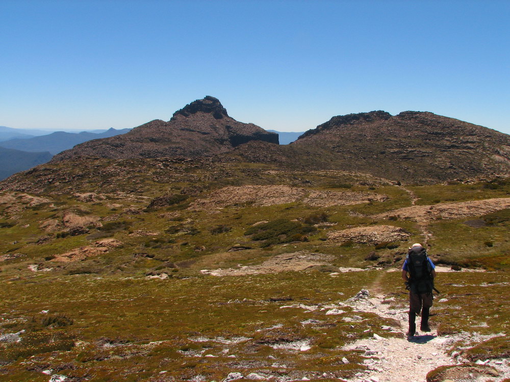
| The water was not even knee deep, but on a hot day it would be very inviting! | Mt Anne up ahead. Mt Anne has been so close for much of the walk, yet it seemed to take a long time to get there! | Another view of Lake Pedder. | |
 |
 |
 |
 |
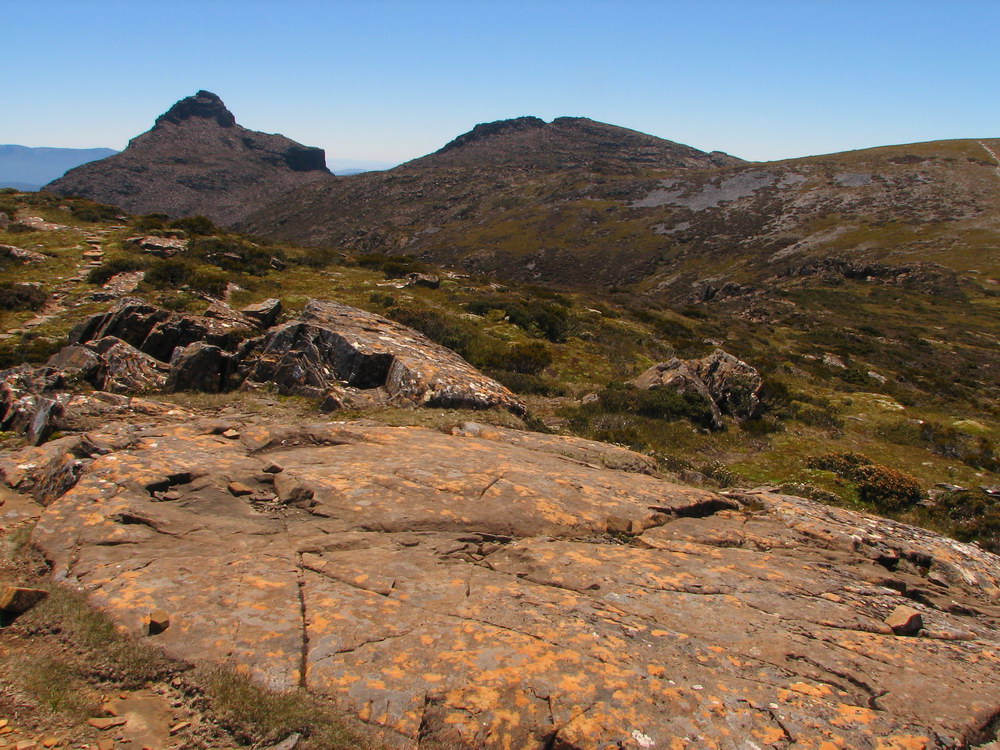
| The boulder hopping starts again as we cross the east end of the Eliza Plateau. The Lot turn off is just over the boulders. | Here is the track leading down to The Lot. | Lot’s wife. It was around here we ran into a couple of older couples who were camping at the hut for a couple of days. Earlier in the day they had climbed Mt Anne, and were returning from exploring the track down to The Lot. They assured Luca and myself that the awkward moves to reach the Mt Anne summit were manageable and that if they could do it, we could do it. They gave us a bit of confidence heading into the unknown! | |
 |
 |
 |
 |
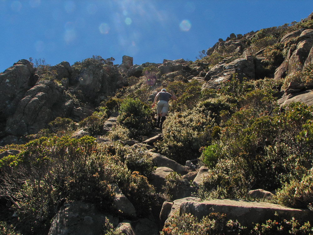
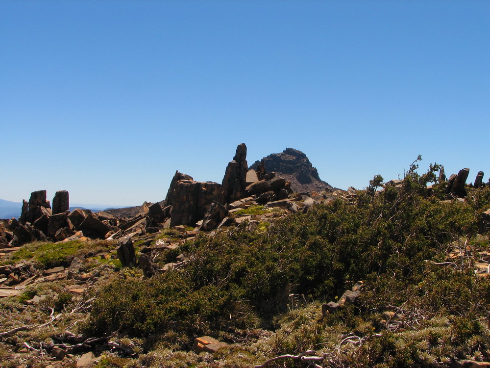
| Looking back the way we had come. | Mt Anne, with all her loose dolerite columns. | A peak at The Lot and his wife from the beginning of the Mt Anne climb. | A bit of boulder hoping before the scrambling on Mt Anne. |
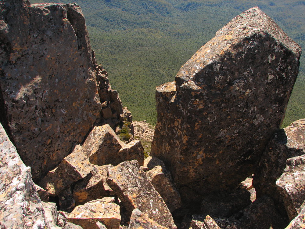
 |
 |
 |
 |
| This is where the fun starts. Here we are confronted by the most awkward move of the climb, with about a 5m drop from a slightly precarious climb. Anyone with confidence would laugh at it! | After a bit of convincing from Cam and I, Luca easily got up past the awkward bit, and even got in a photo of the way back. | Looking back at Cam on one of the nice ledges with a bit of a drop-off on the way up to the Mt Anne summit. | Here is Cam trying to climb the high bit after a bit of goading. |
 |
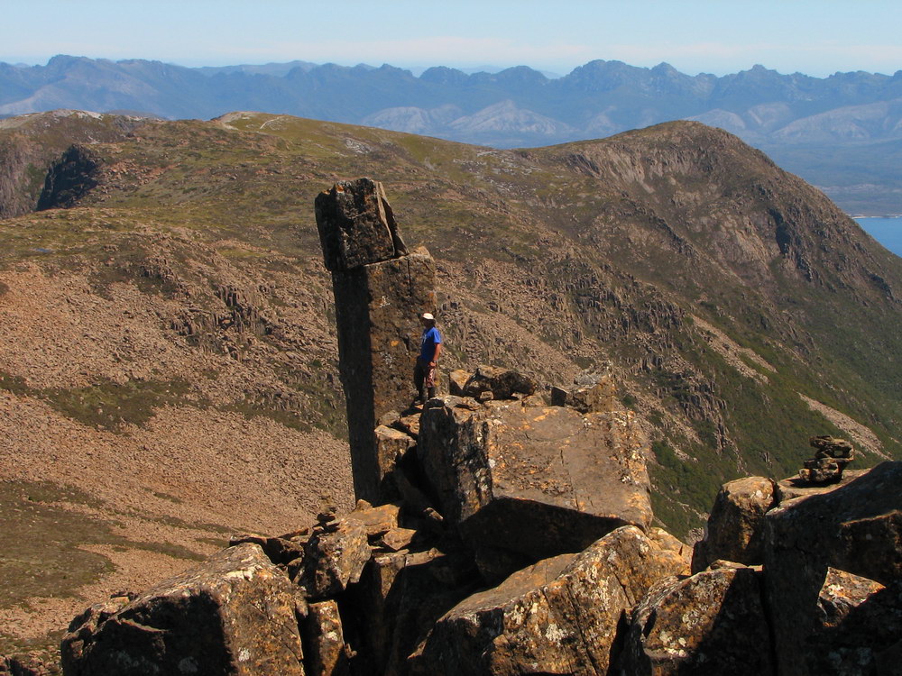
 |
 |
 |
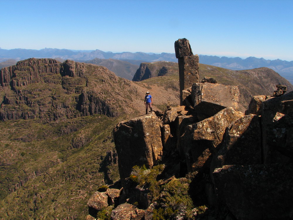
| After the initial scare for Luca he easily made his way past the remaining obstacles, which contained greater exposure, but were very straightforward. | Here we are celebrating our successful climb, with a group photo courtesy of the self timer! | That's Lot’s wife and a tarn down below. | The Western Arthurs. We were very lucky to have such a clear day. On Cam’s first attempt he fell short after the weather closed in and visibility was reduced to a few metres. Very dangerous… |
 |
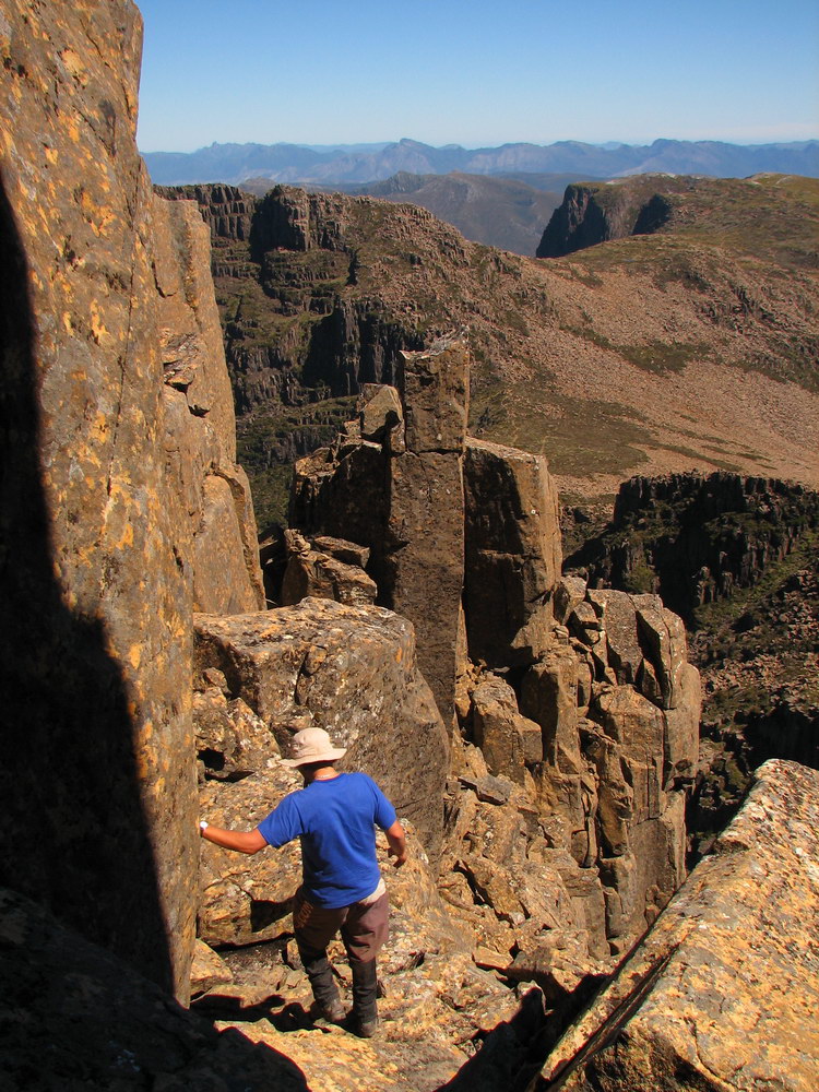 |
 |
 |
| The track down off Mt Anne. It was getting late at this stage. | Cam carefully making his way down. | So far down, but so much further to go… | Here is the start of the scrambling up. |
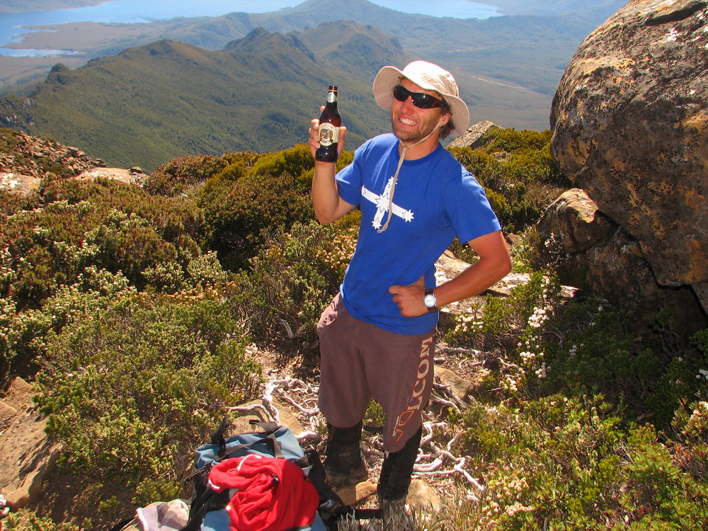 |
 |
 |
 |
| Celebrating attaining the summit with a ginger beer – Cam’s drink of choice! | Lake Pedder. | The track has been carved into the ground, making it easy to follow. | Back past the cairn. Luca and I always carry a lot of water, so we still had enough, but Cam filled up here. Very nice drinking water apparently. However, it was quite a warm day, with little protection from the sun, so we drank more than we expected. |
 |
 |
 |
 |
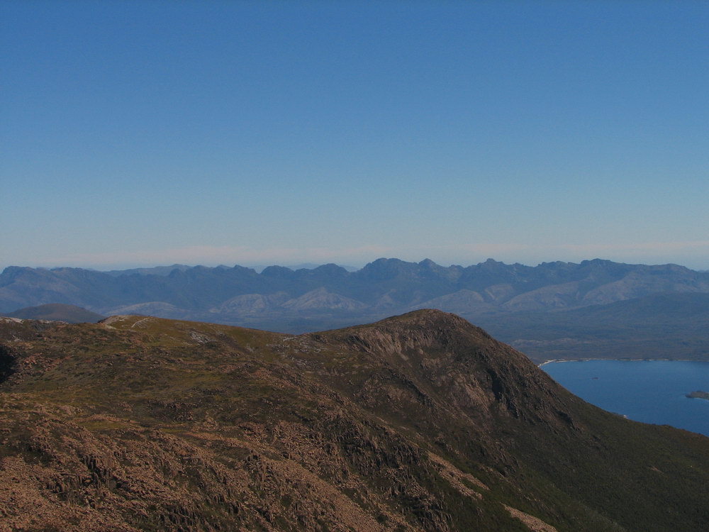
| Back along the Eliza Plateau. I had the lead position so set a good pace, given it was 4 in the afternoon and we still had a long way to get back. At this stage the sun was making its way down into Lake Pedder in the west. | These boulders almost look like quartzite. | The sun is lighting up Lake Pedder. | The Western Arthurs. |
|
|
|||
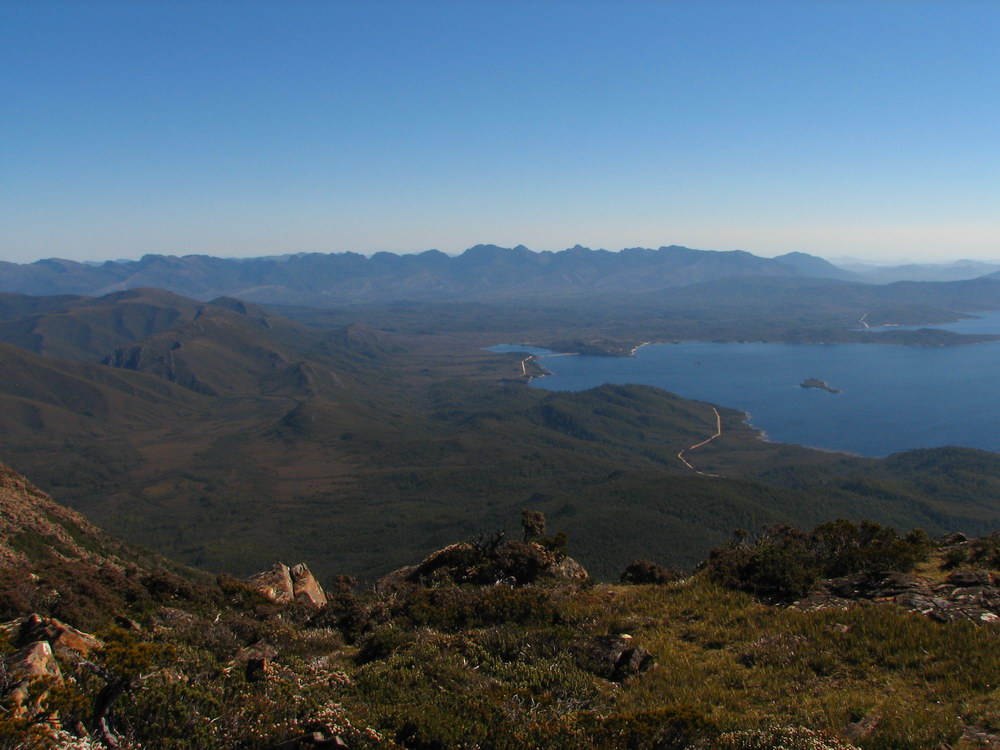
| Here is Cam admiring his feet, with the Western Arthurs on the left and the Franklin Range behind Lake Pedder. There is the road, with our car amongst all the trees at Condominium Creek. We are now at the start of the Eliza Plateau about to make our way down. | |||
 |
 |
 |
 |
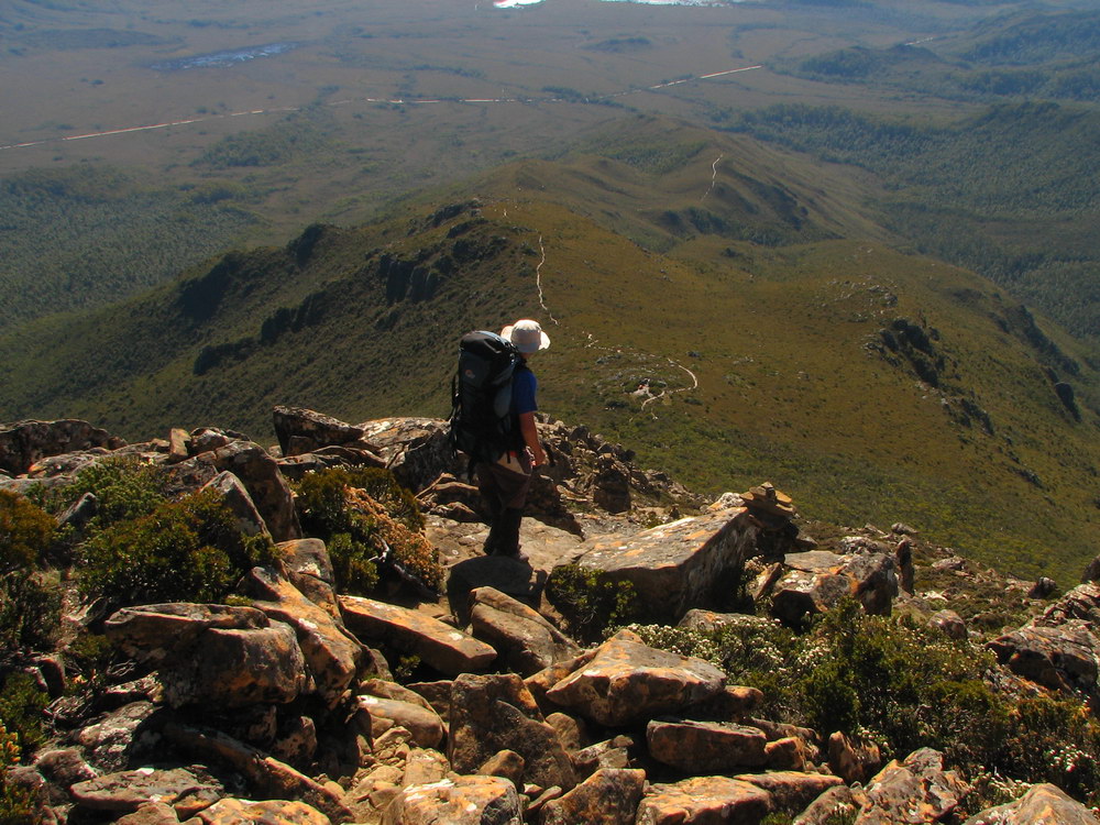
| One of the last views as we leave the plateau. | The boulder hoping starts. Since Cam had already reached Mt Anne with us, he decided to head back to his car, so he carried his heavy pack the whole day unnecessarily – a great effort! | We powered our way down the mountain with the sun setting on, and blinding, us. For those of us with pale skin, the sun was exhausting! | Near the bottom there is much relief as escape from the sun is coming! |
 |
 |
||
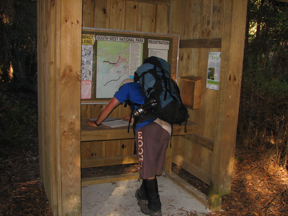
| At the bottom. There is Mt Anne. | Cam is signing out, and letting the registration hut support him after a tough walk off Mt Eliza in the harsh afternoon sun. | It was a great day’s walk, with one of the most rewarding summits Luca and I have experienced. We can’t thank Cam enough for letting us tag along and encourage us (especially Luca) to get to the top. Sadly, after sitting in Condominium Creek for a good 20 minutes, we said our good byes and Luca and I drove back to Hobart. I drank a lot of liquid that night, the afternoon sun really dehydrated me, sending a warning for being careful to drink enough water on these walks. | |
| Back | |||