|
Day Eight: 05 January 2009 Berchavaise Plateau to South Cracroft River Walking Time - 9.5 Hours |
| Susan's Diary |
|
Day
8: We intended on
getting an early start as we descended off Moss Ridge, with the hope of
finishing off as much of the Farmhouse Creek Track as possible. Non-one
had set the alarm the previous night so we got up at 7:30am. The weather
at Berchervaise Plateau was good with no rain throughout the night and
only occasional wind hitting the tent. Strong winds could be heard above,
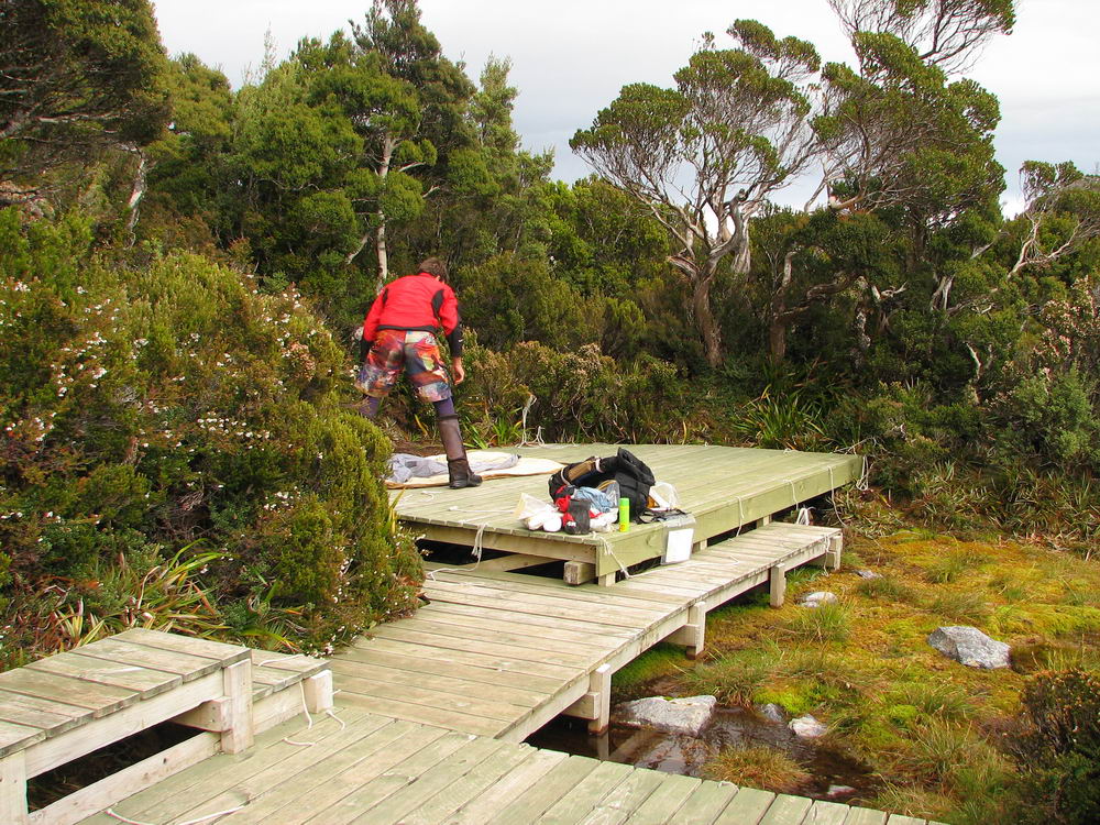
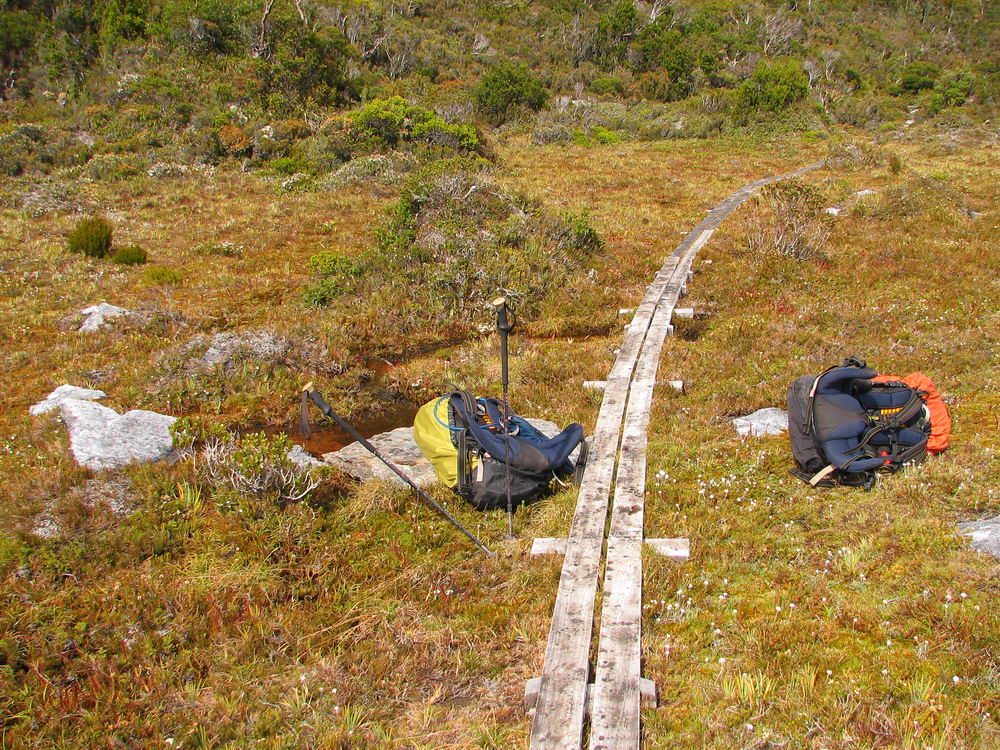
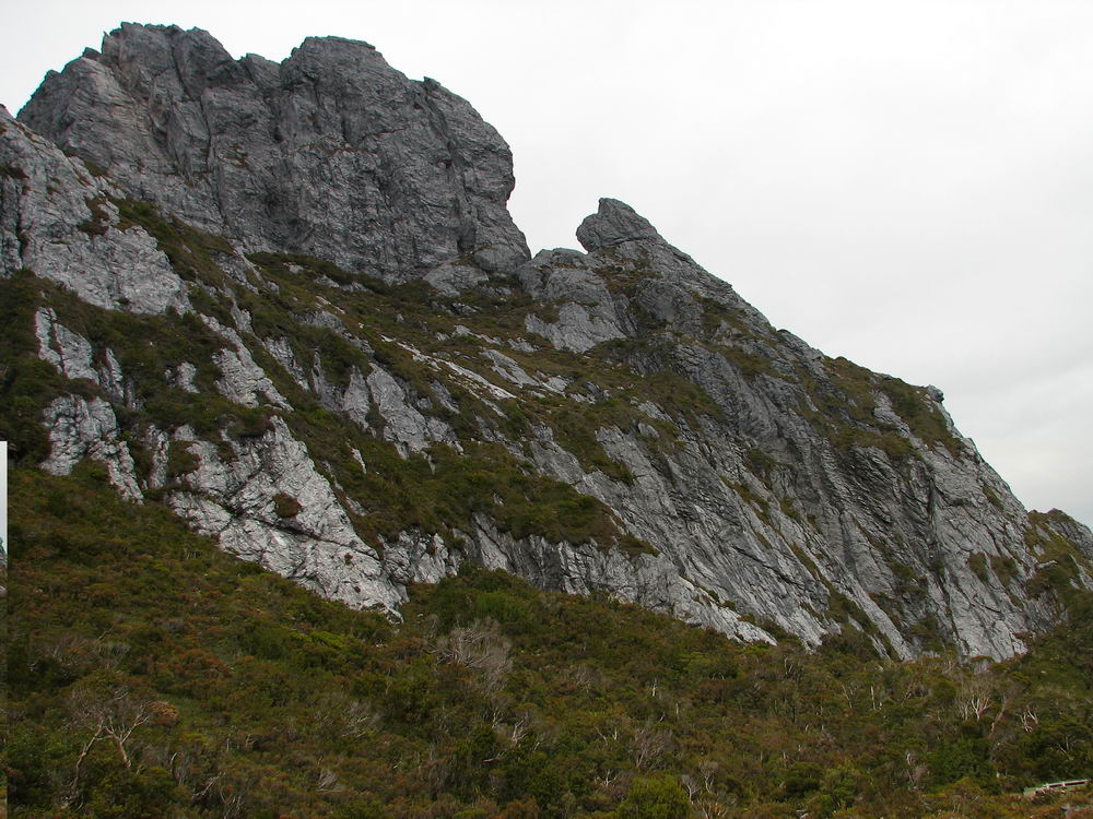
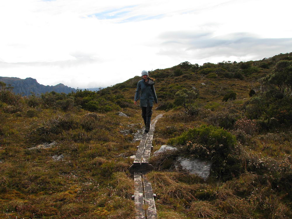
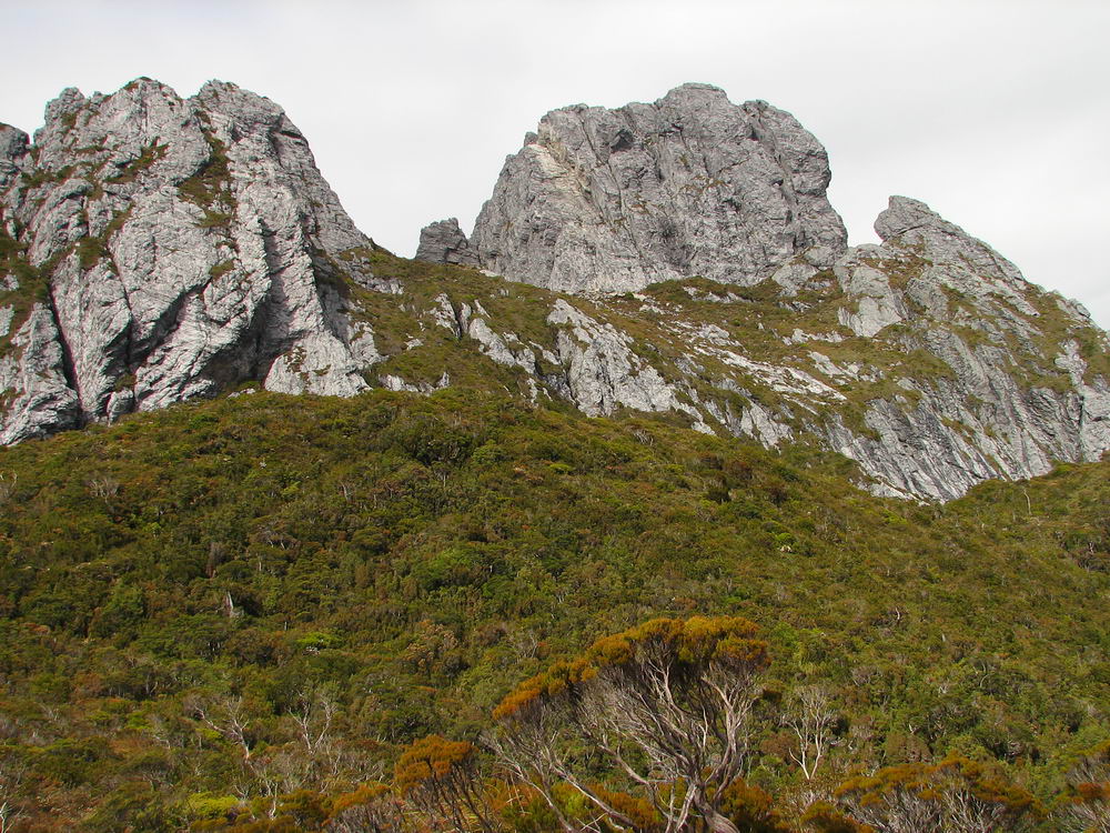
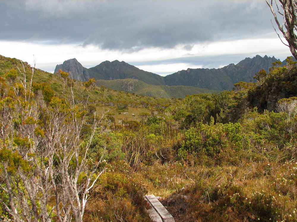
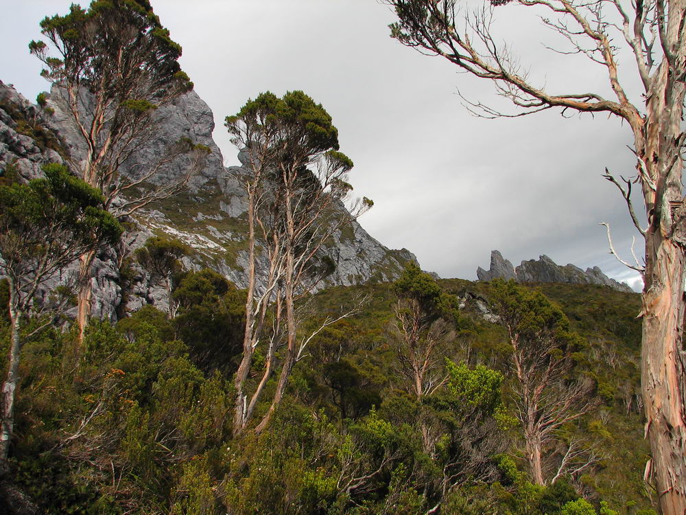
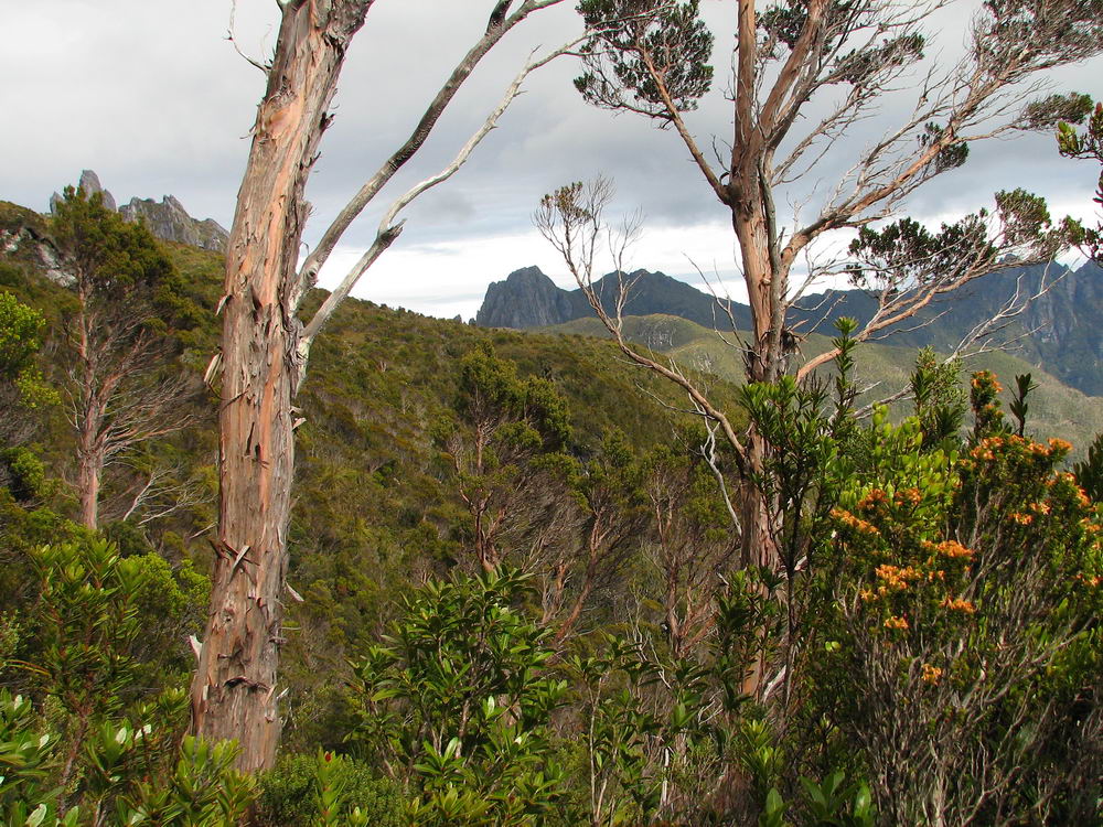
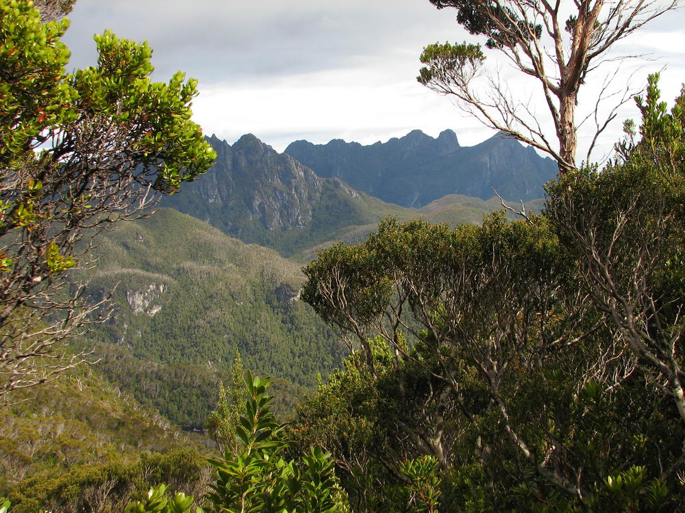
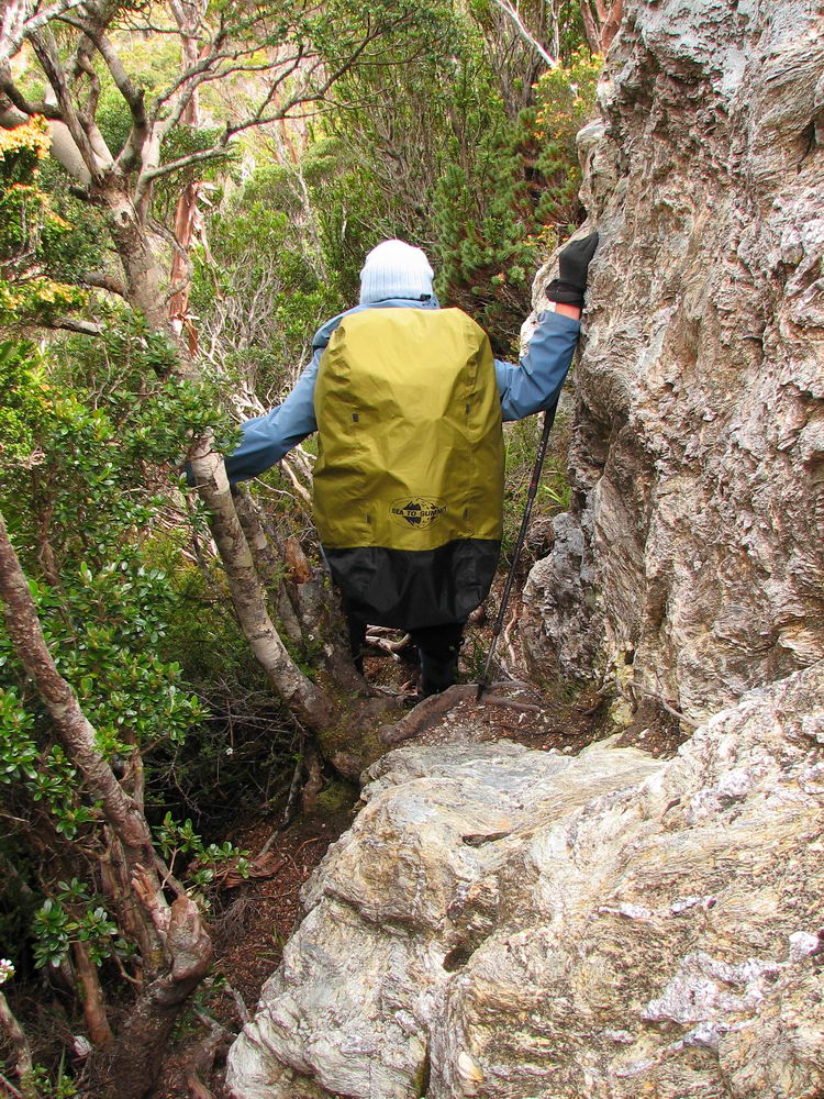
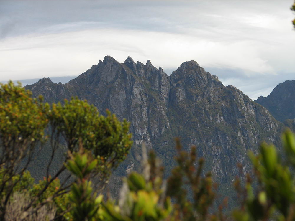
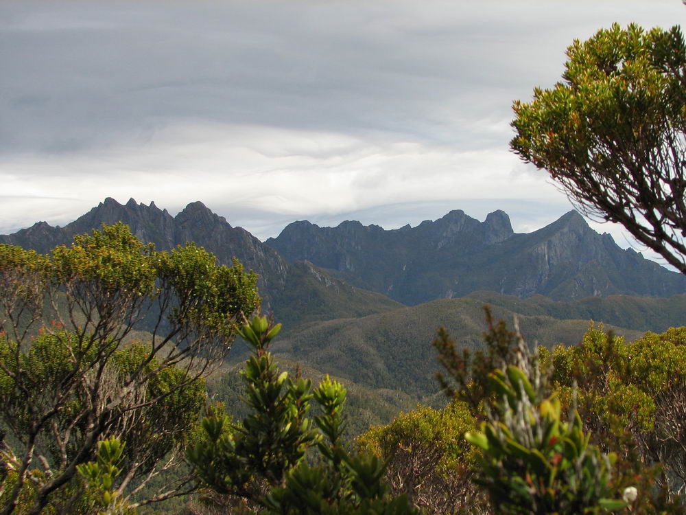
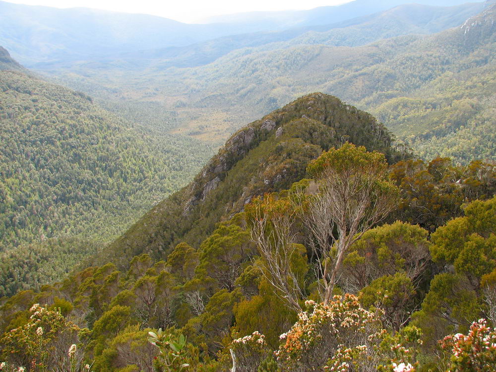
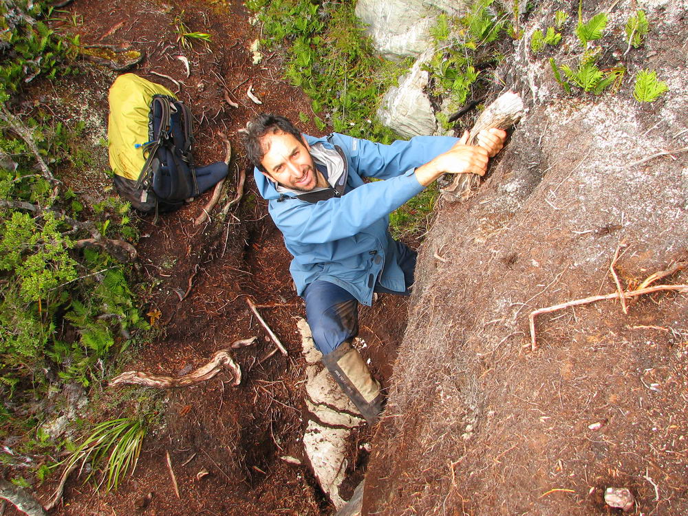
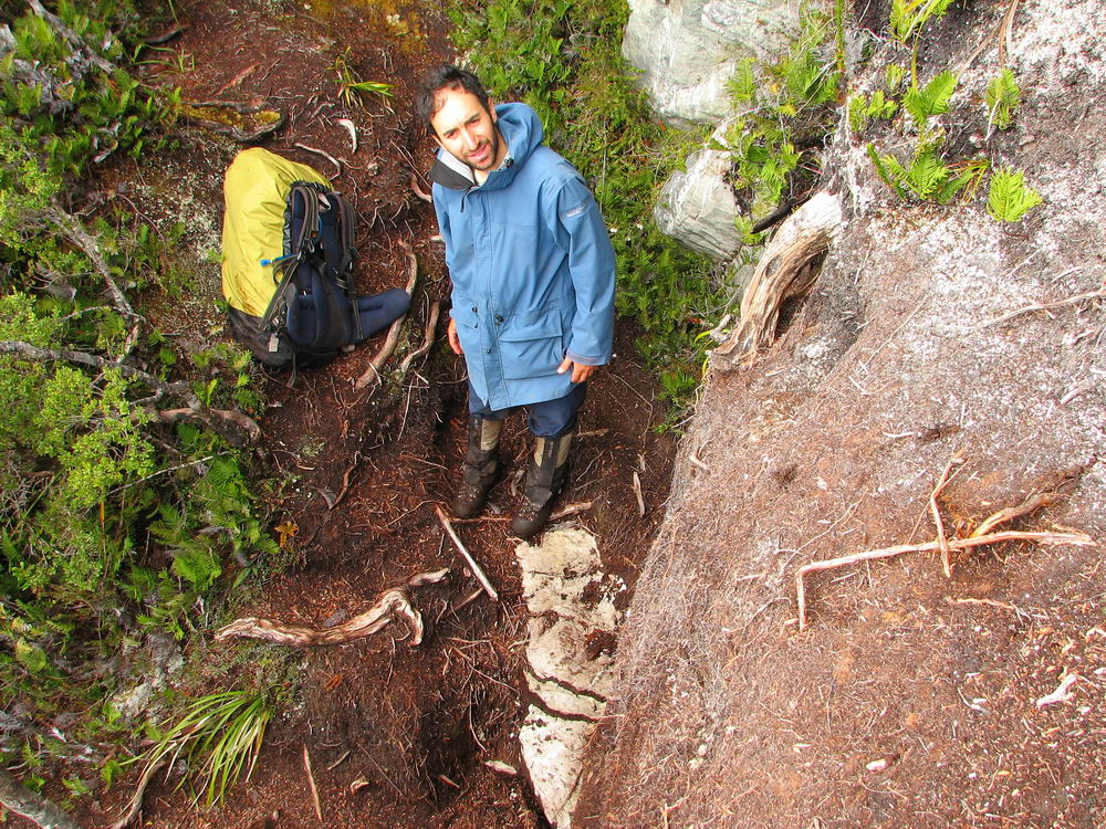
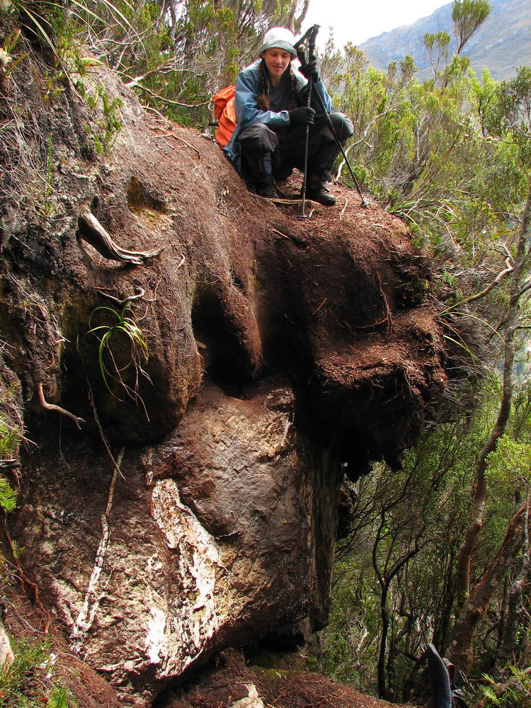
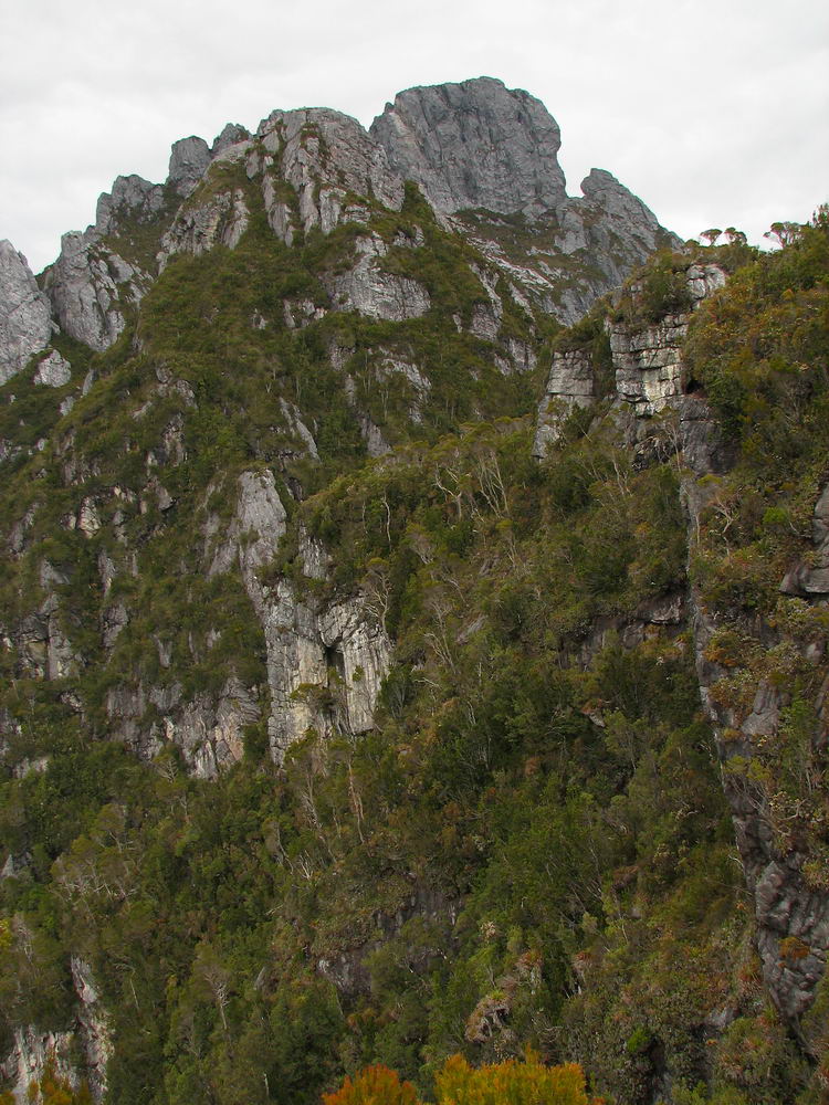
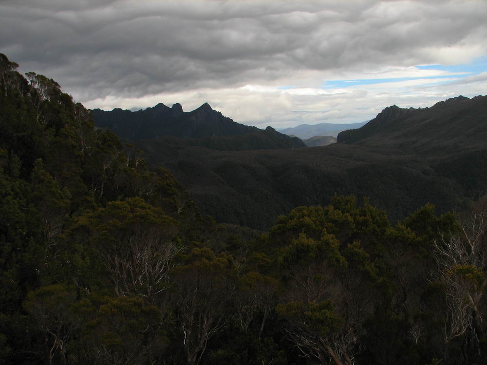
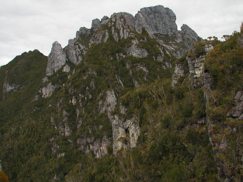
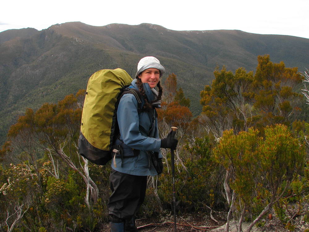
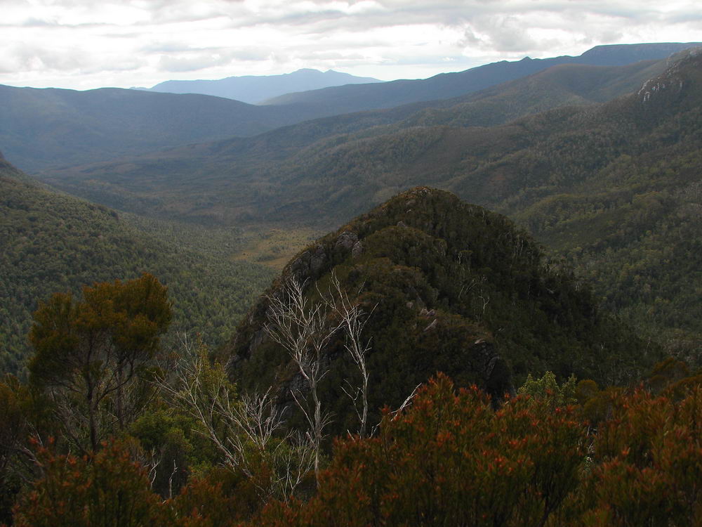
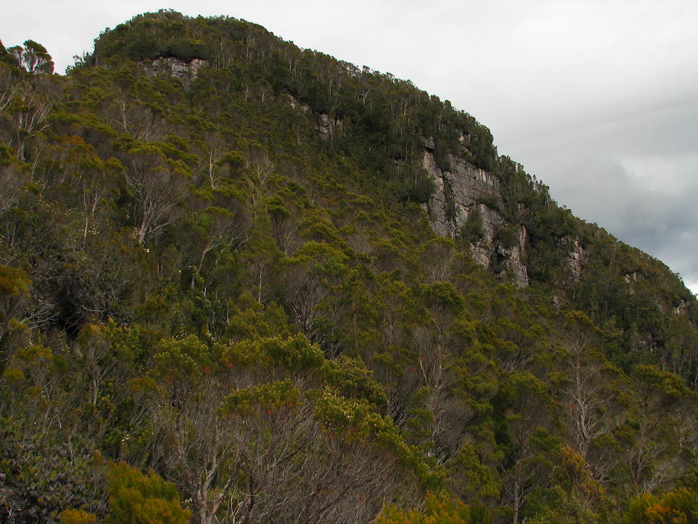
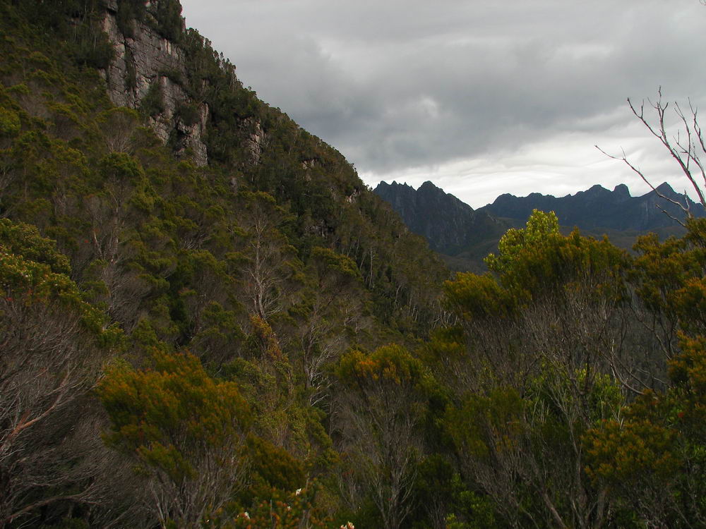
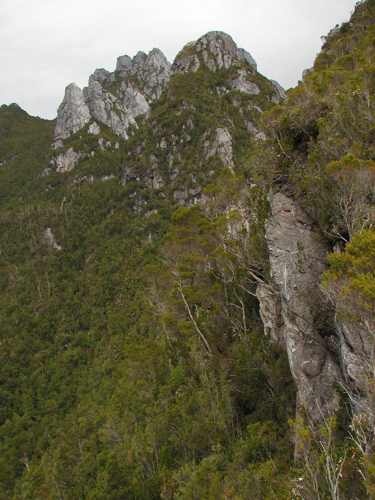
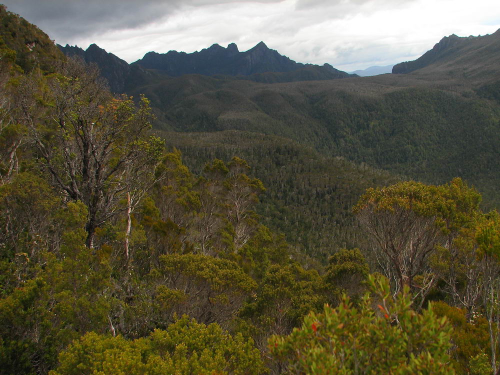
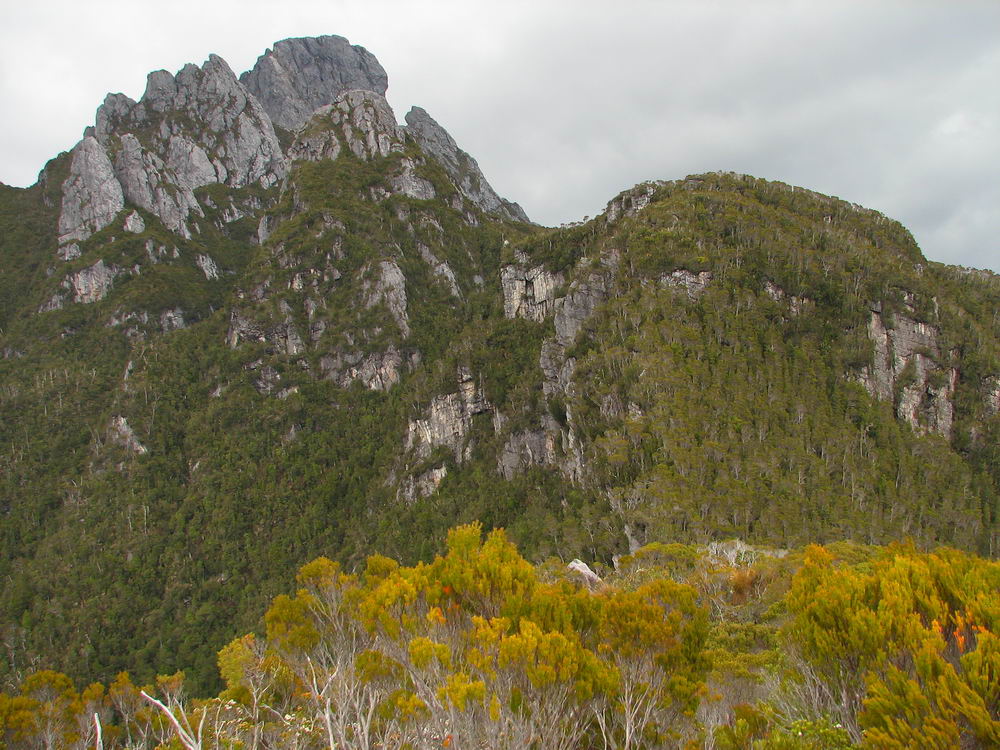
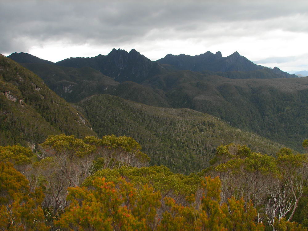
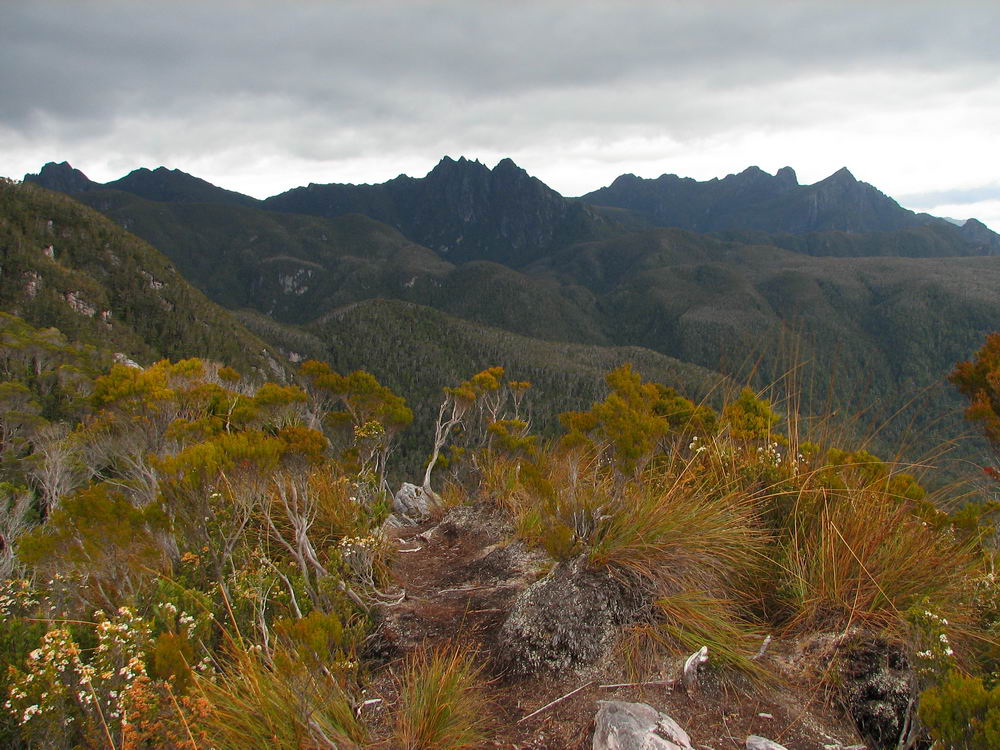
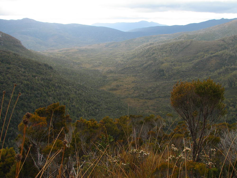
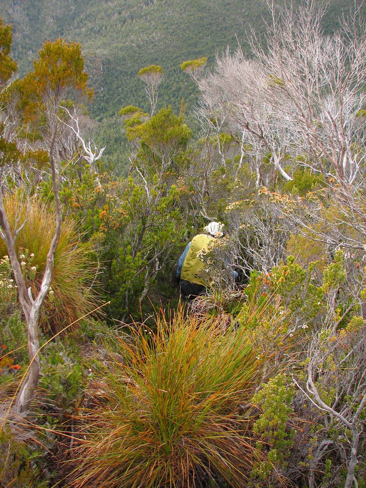
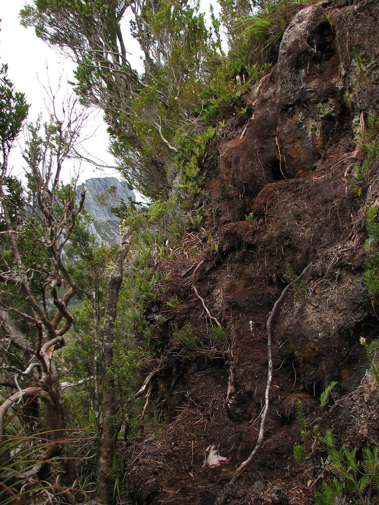
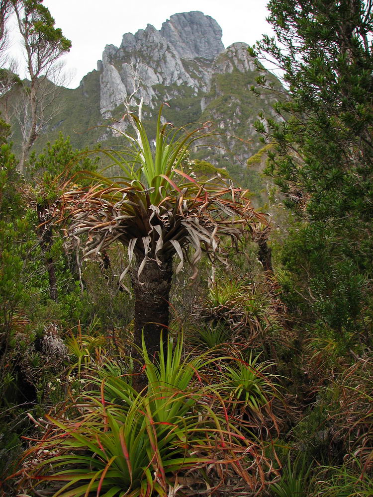
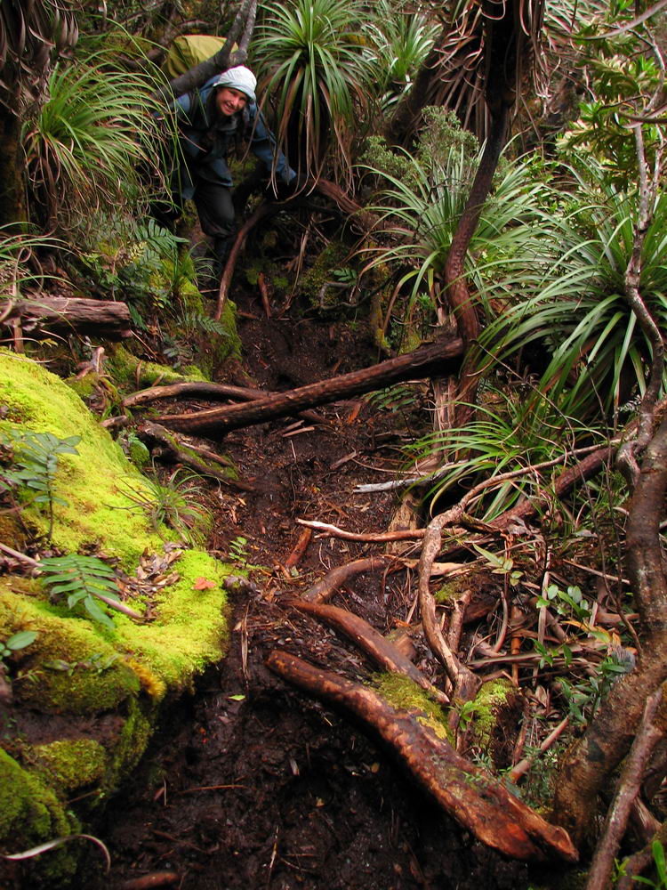
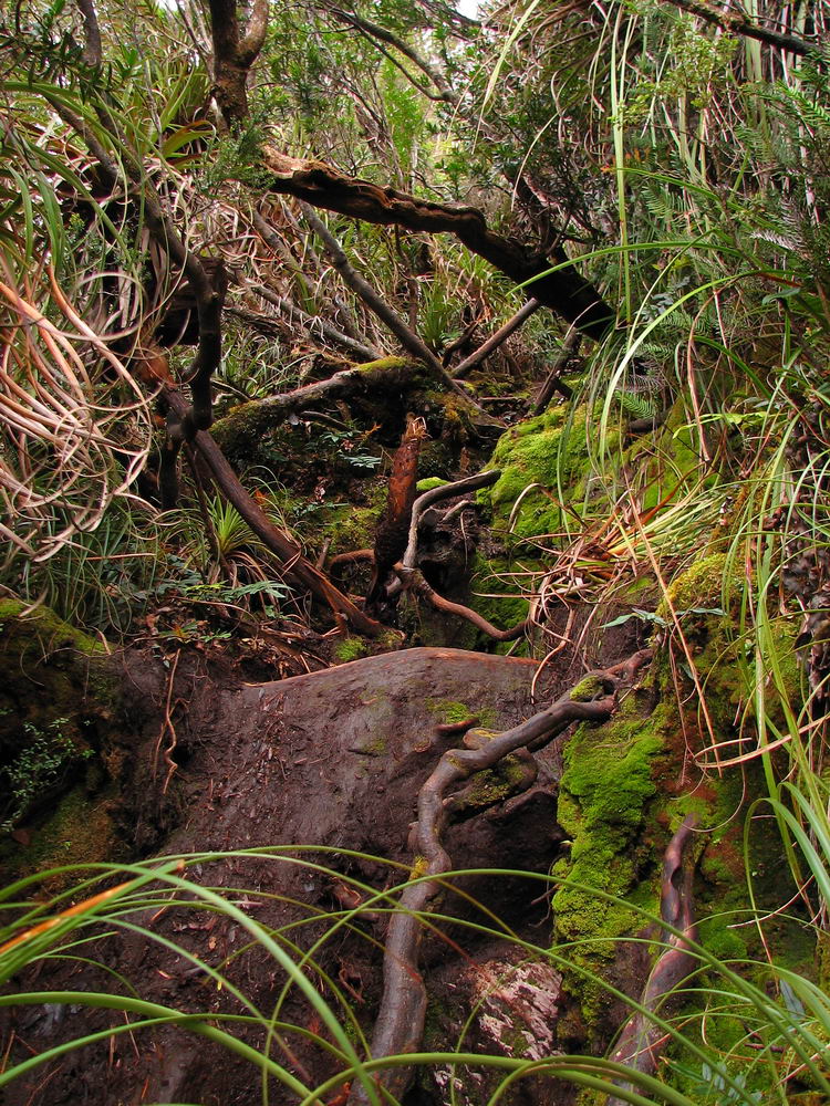
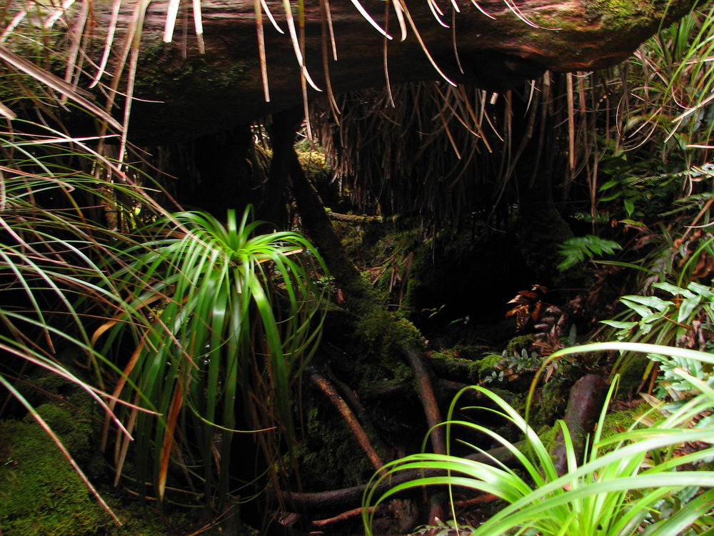
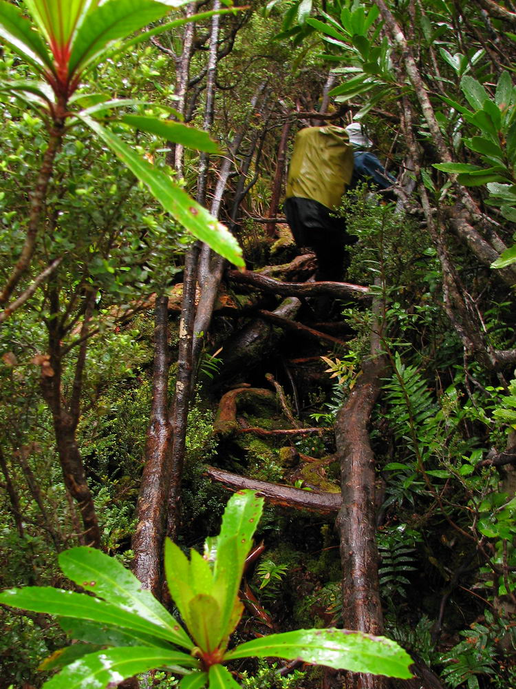
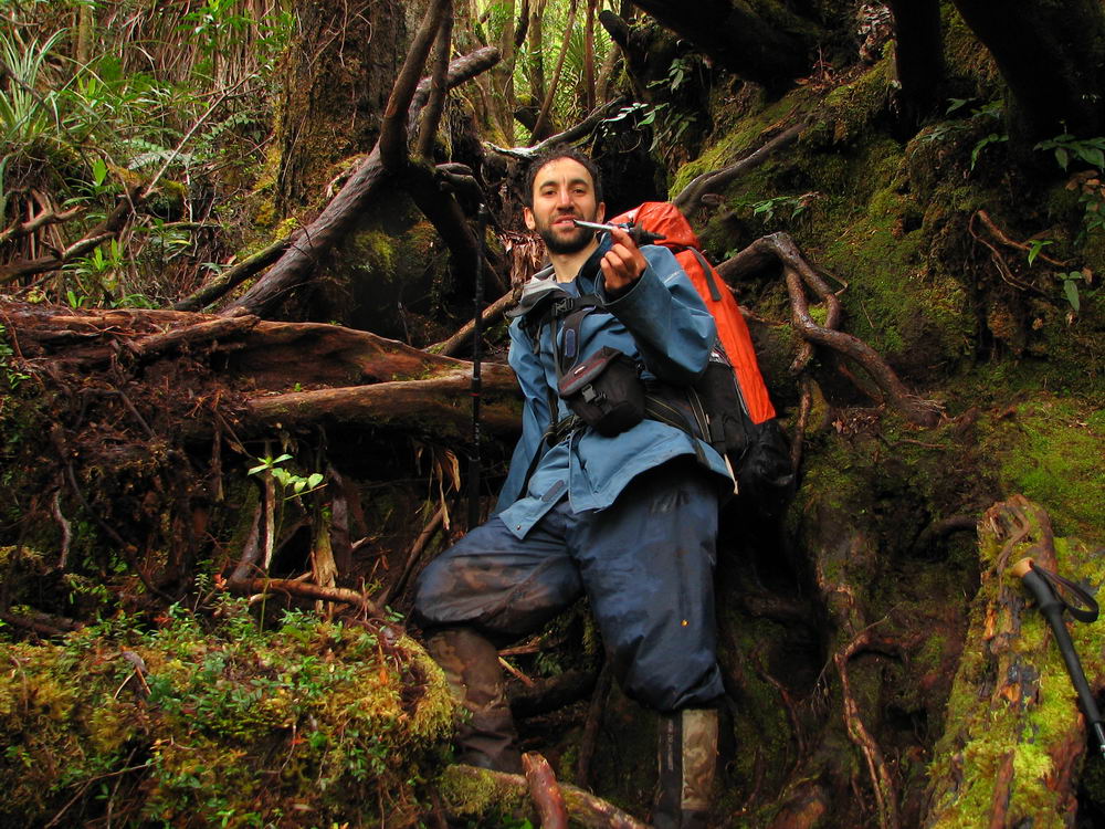
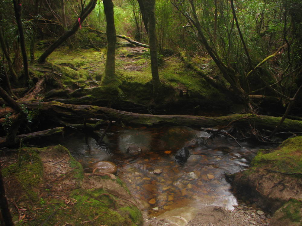
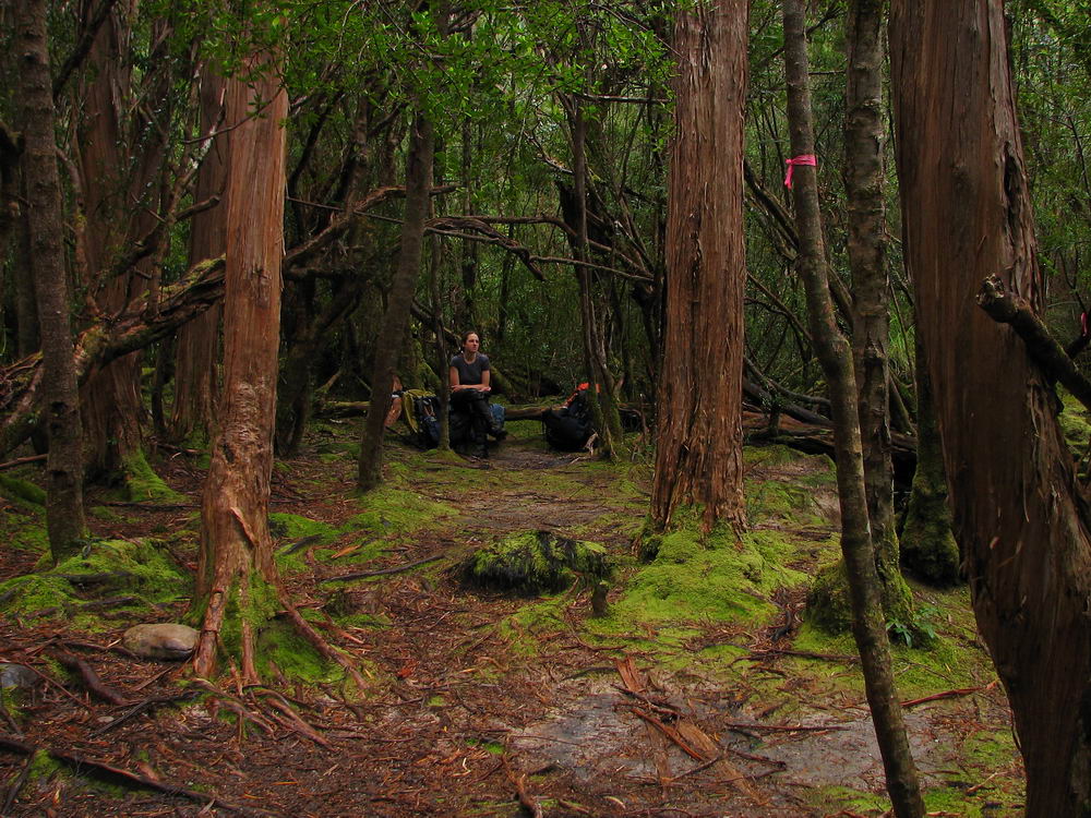
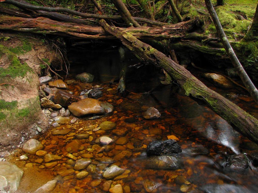
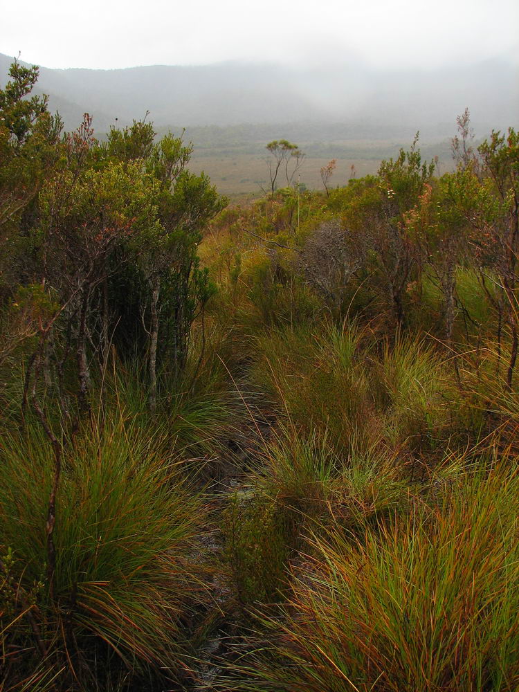
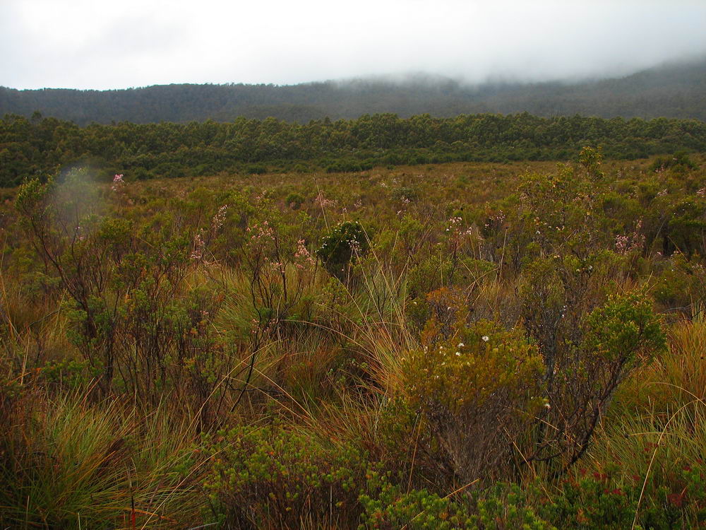
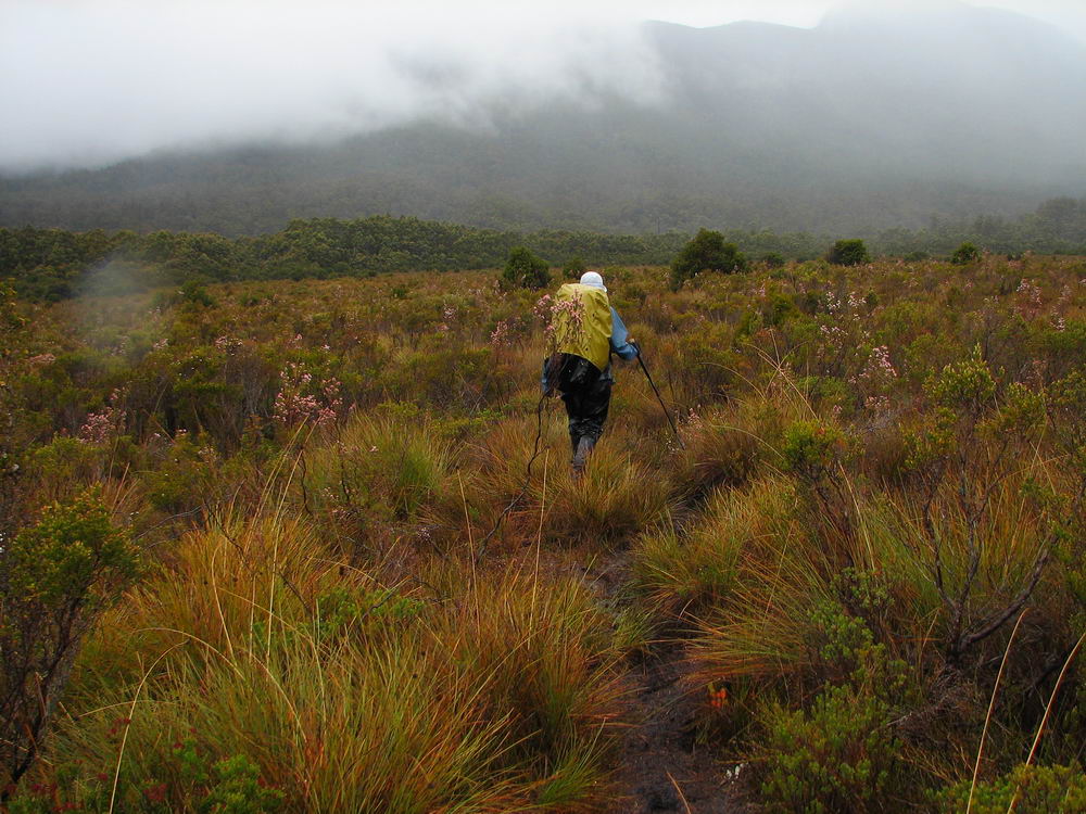
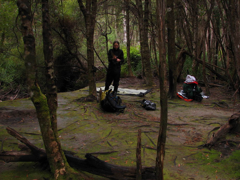
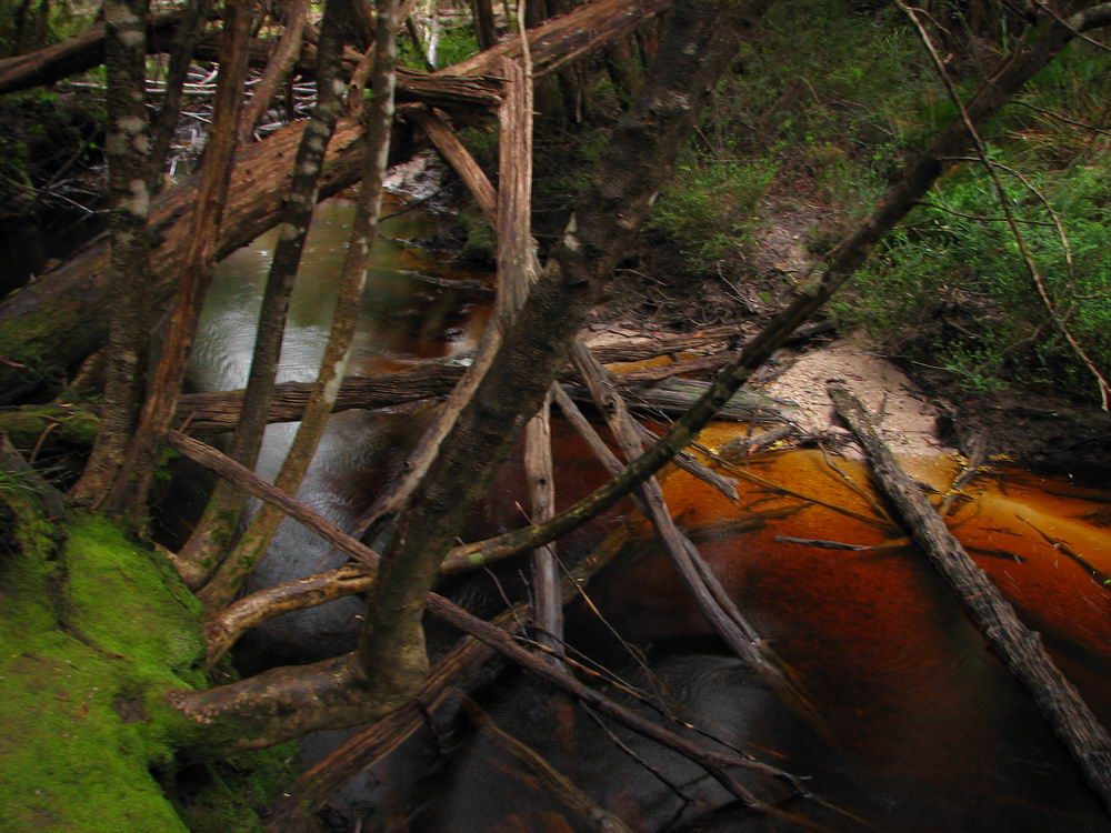
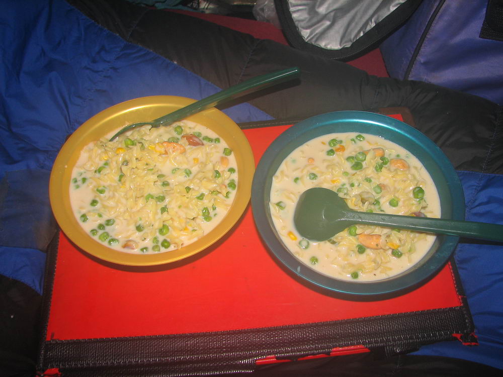
however, making Federation Peak an unattractive proposition again. In addition, we were lucky enough to have blue skies and sun above us and over Federation Peak, the best morning for the entire trip! We were able to pack much quicker in the dry weather and were close to on our way at 9am when a solo walker came by, on his way up Federation Peak from Farmhouse Creek. We told him that no one should have been to the top in 2009, which inspired him to push on. He told us of his experience on Farmhouse Creek Track which gave us an idea of what to expect – maybe pack hauling, logs and crawling. We were on our way at 9:30am, with Federation Peak now in mist. The initial Moss Ridge Track is generally downhill but undulating as three distinct knolls are climbed. There were some steep and muddy sections. We took off our packs once, where a wall with few foot holds required a bit of a Tarzan move to get down. At the top of each climb on Moss Ridge we reached a knoll with views of Federation Peak and Berchervaise Plateau – the weather remained cloudy over there. There were no exposure issues, however. Eventually we reached the end of the undulations where we met another walker who had come from Farmhouse Creek and was also planning the grand traverse – Eastern and Western Arthurs. He was very unimpressed with Farmhouse Creek Track and gave us similar warnings to the first walker – logs and crawling. The continuous, more gradual, descent from Moss Ridge looks good on the map but feels much longer than the steeper section and seems to go on forever. There are more logs and tree roots, and it is muddier and wetter, allowing greater opportunities for falling. After Susan avoided a slippery log blocking the track, Luca followed. However he put his walking pole on the log – the pole broke through the wood, Luca lost his balance and slipped, falling one metre to the ground, landing on his pack and incurring no damage. His pole was not so lucky and snapped with the fall. Eventually we reached Butting Camp at 1:30pm – 4 hours from Berchervaise, which was a great time. We were in good spirits as we had lunch. We had heard from both walkers we met that the next section of the track was just as bad as earlier sections of Moss Ridge, with longs and crawling but we were hopeful we could reach South Cracroft River that night. The next section of track to Crest Camp largely follows the Cracroft Race, which, incidentally, was much narrower than when we crossed it at Cracroft Crossing. The track varies from trees and logs, button grass, cutting grass and some other extremely annoying plant. On a positive note, the track is reasonably level. A number of small campsites are passed and we used these to mark our progress, which seemed painfully slow. There were logs constantly blocking the track, requiring us to go over, under or around slippery tree roots. The cutting grass and other plants seemed to close the track off and you had to walk through with eyes closed to avoid being blinded. In addition, occasional rainfall throughout this section ensured the plants and we, as a consequence, remained wet. The button grass sections were the muddiest we had seen since the Loddon Plains, but were still a long way off being that muddy, and it some sections we had difficulty following the tracks. We reached Crest Camp at 5pm, where we apparently still had 2-2.5 hours to go to South Cracroft. Luca made the tough decision to keep going in order to have a shorter walk out tomorrow. The first hour onwards was generally muddy button grass mixed with thick cutting grass and Susan grumbled continuously with tiredness throughout. The track climbs which was preferred as the vegetation becomes more open and the track more enjoyable. Unfortunately, this doesn’t last long enough. There are some views from the open plains however Federation Peak had now disappeared in clouds. We reached South Cracroft River with much relief at 7pm, which was great time. We had read that campsites were on both the east and west of the river, however after spending 5 minutes walking up the track we discovered there don’t appear to be eastern campsites anymore. We reasoned that the river would need to rise by over a metre to flood our campsite on the western side. After setting up the tent in rain with the mosquitoes, Susan made hot chocolate with milk powder and one third of a block of chocolate while Luca set up our gear. The stove burning under the fly seemed to clear out the mosquitoes, much to our relief. As had become our custom on the last night of walking, we finished off the parmesan in Alfredo pasta with nuts.
|
| Day 8 Photos: | |||
 |
 |
 |
 |
 |
 |
 |
 |
 |
 |
 |
 |
 |
 |
 |
 |
| . | |||
 |
 |
 |
 |
 |
 |
 |
 |
 |
 |
 |
 |
 |
 |
 |
 |
 |
 |
 |
 |
 |
 |
 |
 |
 |
 |
 |
 |
 |
 |
 |
 |